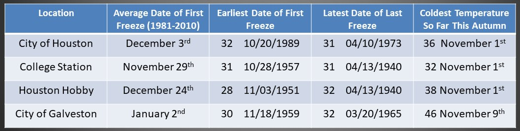
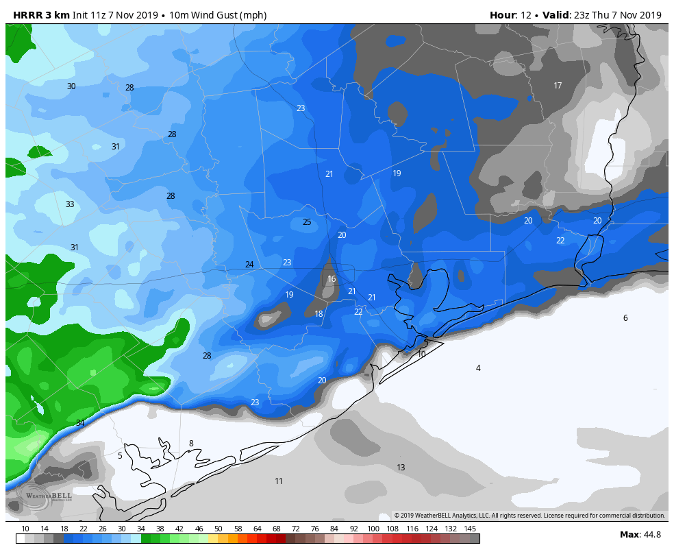
Good morning. It is not pleasant outside, with winds gusting to 30 mph pretty much across the entire region, and temperatures generally in the 30s. The combined result of this is wind chill temperatures in the 20s for pretty much everyone this morning. A freeze is expected tonight for all but the immediate coastal areas.
Tuesday
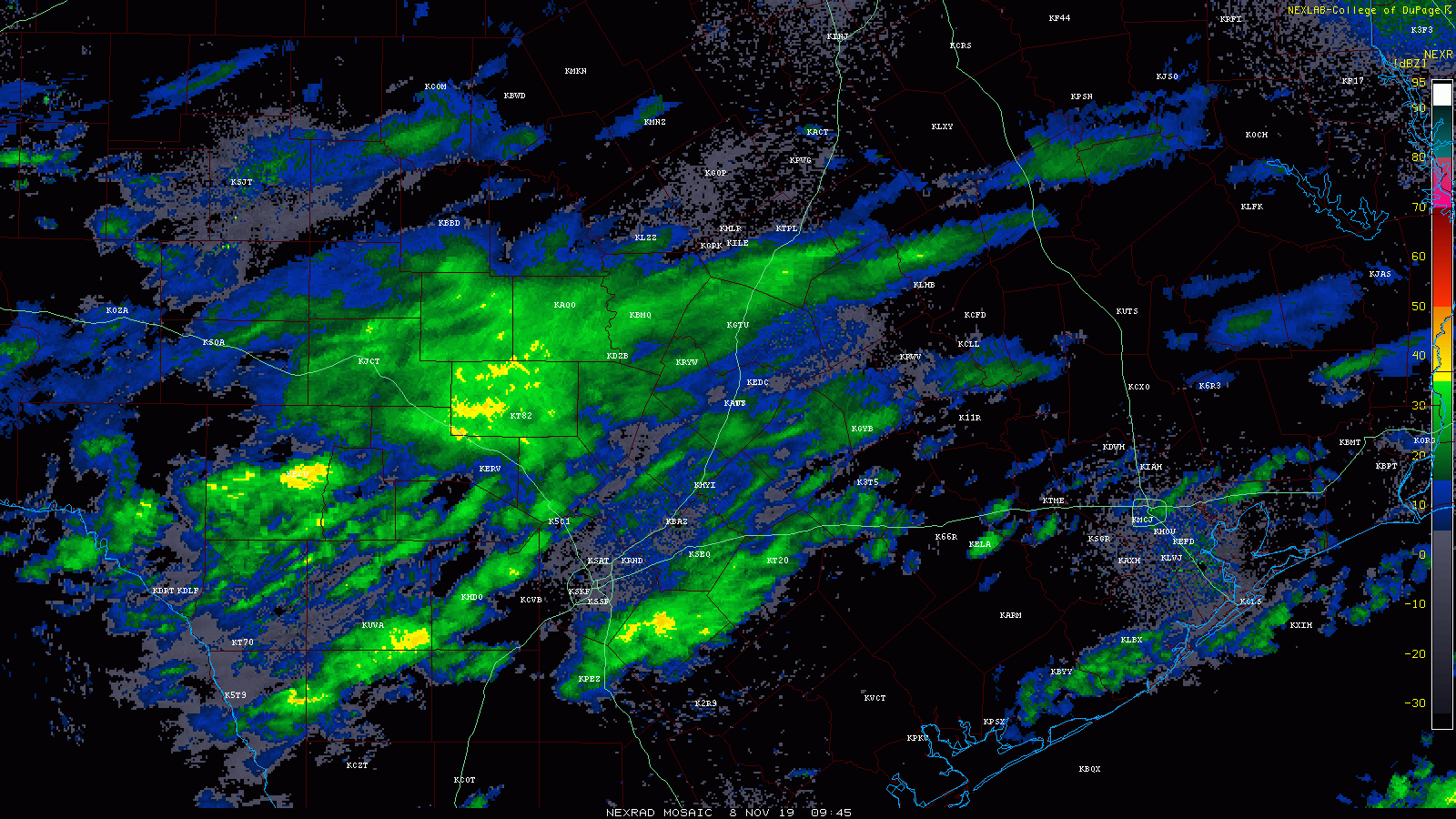
Some very light precipitation remains across the western part of the region, but this should continue to wane through sunrise this morning. However, this may produce a little bit of sleet that will not stick to the ground. Otherwise, we should see clearing skies throughout the morning and into the afternoon. Highs will only nudge up into the low 40s for most. Strong, northerly winds will blow throughout the day, although they should gradually wane this afternoon before falling off to 10mph or below after sunset—except for the immediate coast where they will blow a bit longer. Clear skies and dying winds will allow for ideal cooling Tuesday night, and nearly all of the area except for the coast will probably see a freeze. Lows may reach the mid-20s for Conroe and points north.

Wednesday
Partly sunny skies, with a high of around 50 degrees. As northerly winds finally die, we’ll begin to see some cloud development later in the day, and the possible return of some light showers during the afternoon or evening. Lows Wednesday night should drop into the 40s as rain chances increase to about 50 percent.