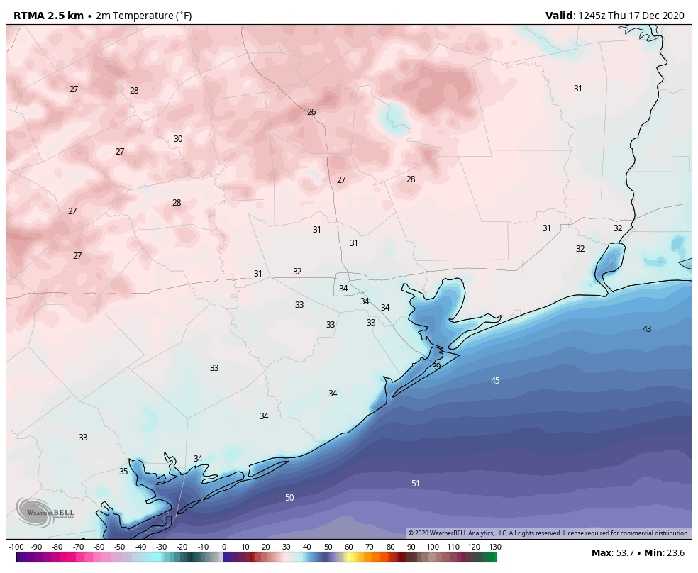
Good morning—and is definitely a cold one, especially for those of you in areas like Conroe and Cleveland who are experiencing temperatures in the 20s. We’ll now see a warming trend through Saturday, before another front arrives to keep our weather on the cool and sunny side. Our forecast for Christmas Day continues to call for a cold start and a cool day, although there remains a fair bit of wiggle room in the details.
Thursday
Sunny skies and light winds will allow temperatures to rise this morning, and highs should get into the mid- to upper-50s by this afternoon. Our skies will remain clear heading into this evening, although a light wind shift from the east should make for a slightly more moderate night. Expect lows in Houston to drop to around 40 degrees, with warmer conditions along the coast, and cooler weather inland.
Friday
As winds become more southeasterly on Friday, we’ll start to see the development of a few clouds in the morning. As highs reach into the mid-60s or so during the afternoon hours, we should start to see partly to mostly cloudy skies. We may see some light rain chances during the evening hours, but the better opportunities for rain will come after midnight.
Saturday
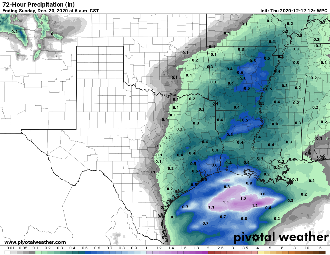
An approaching cold front will help generate widespread light to moderate showers, and possibly a few thunderstorms, on Saturday. For now, I expect accumulations will be 0.25 to 0.75 inch for most areas, and rains should end by the afternoon or early evening hours as a front pushes through the metro area. Highs Saturday night should reach about 70 degrees ahead of the front, dropping fairly quickly after the front’s passage. Overnight lows on Saturday night should generally drop into the 40s.
Sunday
If you have outdoor plans for the weekend, Sunday should be the pick of the litter, with clearing skies and highs in the mid-60s. Winds will generally be light, but could remain at about 15 mph just along the coast as cool, dry air moves into the region. Lows Sunday night will again drop into the 40s.
The week of Christmas
We’ll see a warming trend beginning on Tuesday as the onshore flow becomes more pronounced, and temperatures probably will reach 70 degrees by Wednesday. Some light rain showers will be possible mid-week with the increased moisture. All eyes will then turn toward our next cold front, which will set the stage for conditions on Christmas Eve and Day.
Right now there seems to be general agreement in the models that this front will push into Houston late on Wednesday evening, or early Thursday morning—but with nearly seven days until that time frame I’m hesitant to lend too much credence to precise timing. However, under this scenario Christmas Eve may see clearing skies, and Christmas morning would be quite cold. I think temperatures could be in the 30s for much of the area. Alas, the atmosphere would be dry, so don’t expect a White Christmas in Houston this year.

Hmm. Still waiting for that warmer than average/normal/whatever December. Three freezes in one month is a bit much.
Might have to move south!
I’m focused on enjoying the cooler weather for while it lasts.
We all love to bellyache about how hot and humid this place is (including me) – here’s our chance to wear all of those “winter weather” clothes that sit dormant for 11 months out of the year. Ha ha!
I’m sure Binghamton, NY, will be happy to ship us some of their snowfall. 40+ inches and counting in less than 24 hours.