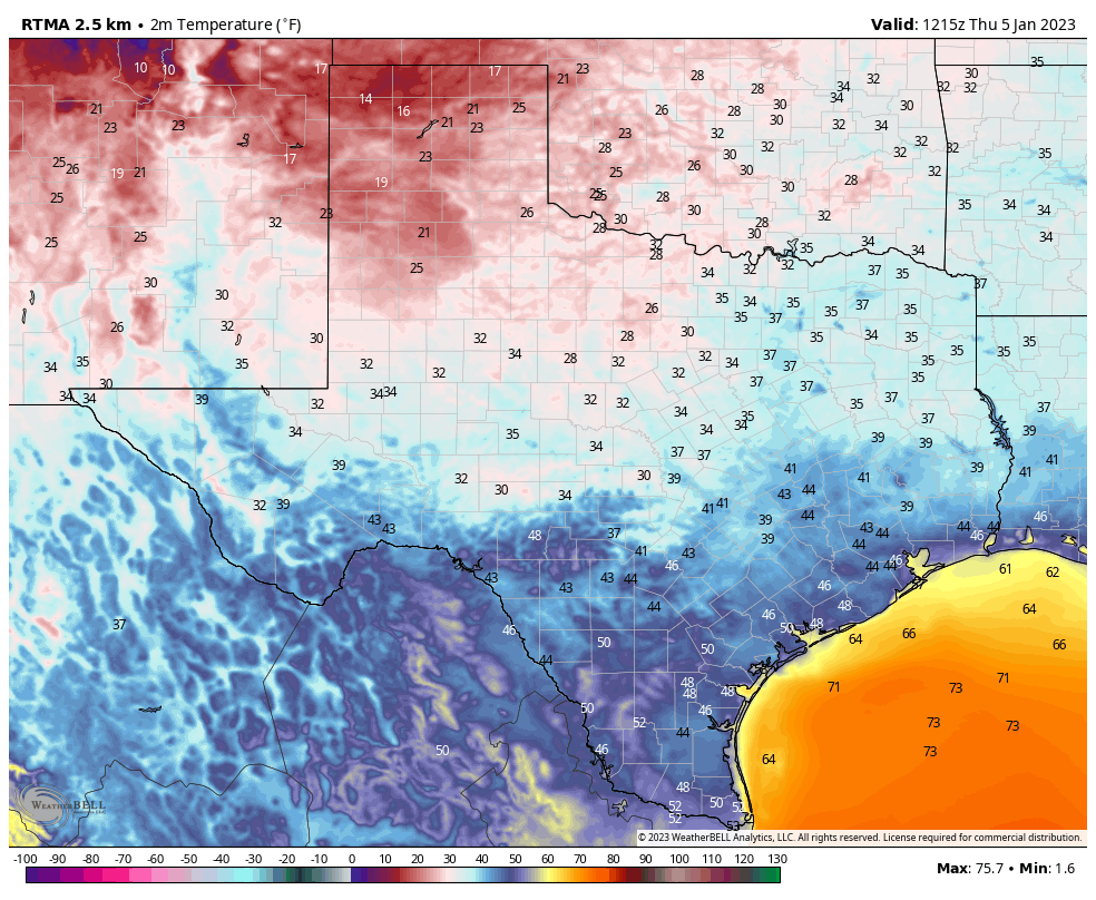
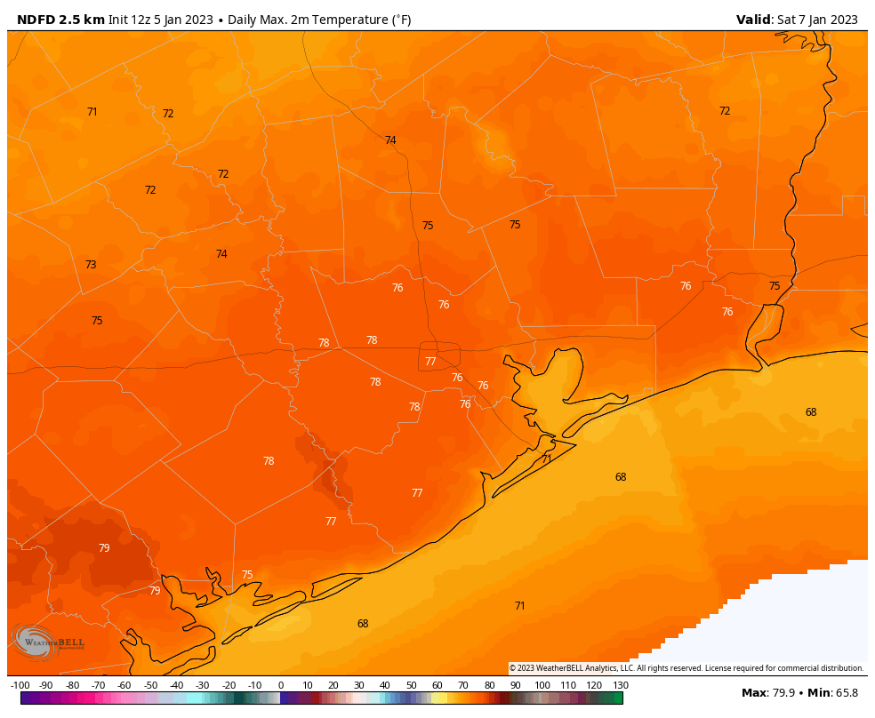
Good morning. We’re going to see a real pop in temperatures this afternoon with a warm, southwesterly flow in place that will push high temperatures to around 80 degrees. It’s quite possible that Houston (81 degrees), Galveston (75 degrees), and College Station (81 degrees) will match or even break existing records for daily highs. Please clap. A cold front will arrive around sunrise on Thursday morning to cool us down.
Wednesday
I’ve included a short satellite loop (below) this morning because it clearly shows the rapid southwesterly flow in place over Texas this morning. This influx of warmer and somewhat drier air will lead to highs of around 80 degrees today, despite an increasing preponderance of clouds. Surface winds today will be out of the southwest at 10 to 15 mph, with higher gusts. Low temperatures tonight will only drop into the mid-60s ahead of the cold front on Thursday morning.

Thursday
The front should push into Houston around sunrise, perhaps earlier the further inland you live, and perhaps a bit after if you live near the coast. We cannot rule out a thin line of moderate showers with the front, but it’s unlikely, and if it does rain, the showers will end soon. Temperatures will drop into the low 60s after the front’s passage, with highs only climbing into the mid-60s despite lots of sunshine. Winds will be brisk on Thursday, with gusts out of the north at 20 to 25 mph. Lows will drop into the low 40s on Thursday night, with colder conditions further inland of Houston.
Friday
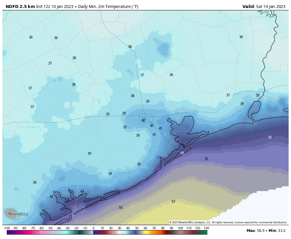
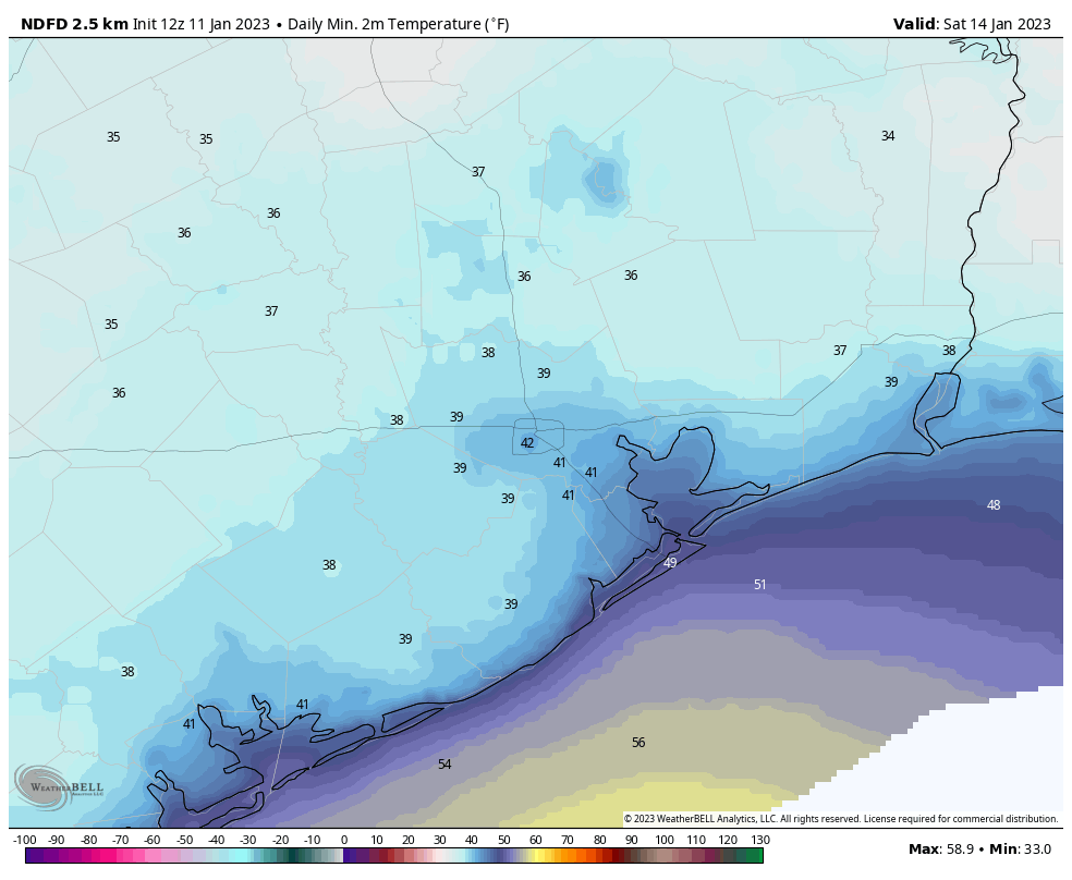
A fine winter day, with sunny skies and highs in the low 60s. Winds will be out of the north at about 10 mph. Lows Friday night will be the coldest of the week, dropping to around 40 degrees in Houston, with outlying areas seeing the 30s.
Saturday
Another cool day, with sunny skies and highs in the low to mid-60s. However, as winds turn to come from the south, we’ll start to see an increase in dewpoints. Lows on Saturday night will only drop to around 50 degrees in Houston.
Sunday
If you’re running the Houston Marathon, look for start line temperatures in the low 50s. But with sunny skies and a southerly flow, look for things to heat up fairly quickly, with highs climbing into the mid-70s. Winds will be gusty, out of the south, up to 20 mph. Dewpoints will be such that it will start to feel a bit sticky by late morning. Lows on Sunday night will only drop into the mid-60s.
Next week
The first half of next week looks warmer, with partly cloudy skies and highs of around 80 degrees. Lows probably will only drop into the 60s. Some rain chances return around Wednesday, when the first of a few fronts arrives to start cooling the region back down. Next weekend probably will have us back down in the low 40s for lows, with the potential for even colder weather near the end of the month. We shall see.