Good morning. There’s not much good to say about our weather for the next several days, outside of the fact that at least we won’t see flooding or the winds howling. However, after three or four really hot days of triple-digit temperatures, I do think we’ll see a slight downturn in highs, and an uptick in rain chances. The effect is likely to be subtle, but any relief is better than no relief, right?
Tuesday
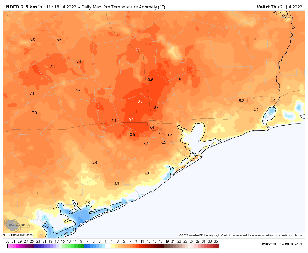
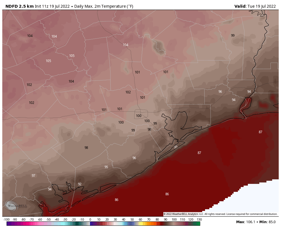
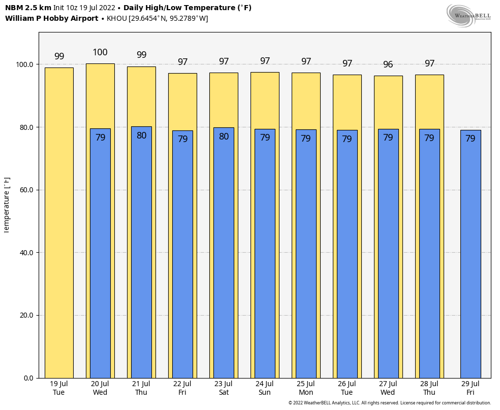
Monday’s high temperature reached 100 degrees at Bush Intercontinental Airport, and we can probably expect today to be a carbon copy with mostly sunny skies. Winds will be out of the south, at 10 mph or so, with gusts up to 15 or 20 mph. Lows tonight probably won’t drop below 80 degrees for most of the region.
Wednesday and Thursday
It looks like the heat will peak on these days, with highs ranging from 100 to the low 100s for much of the area away from the coast. Expect sunny skies and southern winds. You should know the drill by now.
Friday, Saturday, and Sunday
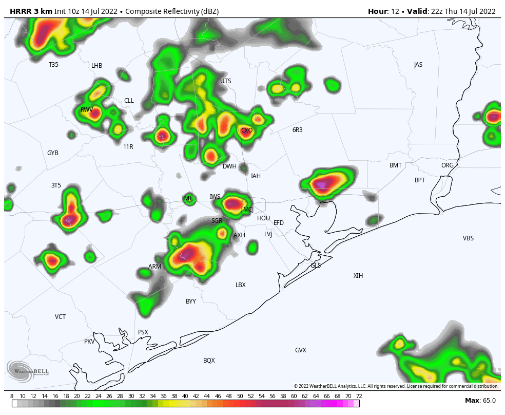
It’s still going to be hot, but highs at some point should start to drop back into the upper 90s. We’ll also see a somewhat more disturbed atmosphere that should allow for the development of at least some isolated showers and thunderstorms. Expect mostly sunny skies.
Next week
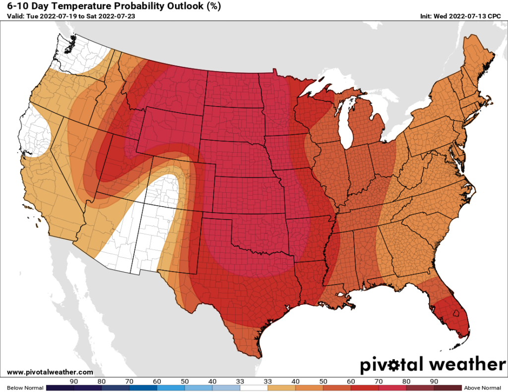
Overall, the pattern won’t change a whole lot. But I think we’ll see highs in the mid- to upper-90s, instead of around 100 degrees. And rain chances will continue to be non-zero, but at this point it’s difficult to say whether we’re talking about 10 to 20 percent chances each day, or the more hopeful 30 to 40 percent.