Houston’s temperatures will briefly go up before plunging into deep winter for awhile

Good morning. I hope you enjoyed the colder weather this weekend, because after a brief warm-up through about Wednesday of this week, we’re plunging back into very cold (for Houston) conditions much of the rest of January.

Monday

After a cold start generally in the 30s, Martin Luther King Jr. Day will see a nice warm-up under sunny skies. Highs will reach the mid-60s, with very light wind northeasterly winds. Low temperatures on Monday night will drop into the mid-40s, beneath clear skies.

Tuesday

As winds turn more southerly overnight, Tuesday will see warmer conditions with highs likely topping out in the low 70s. Skies will again be sunny and although dewpoints will be rising, the air will still be comfortably dry. Lows on Tuesday night will only drop to around 60 degrees.
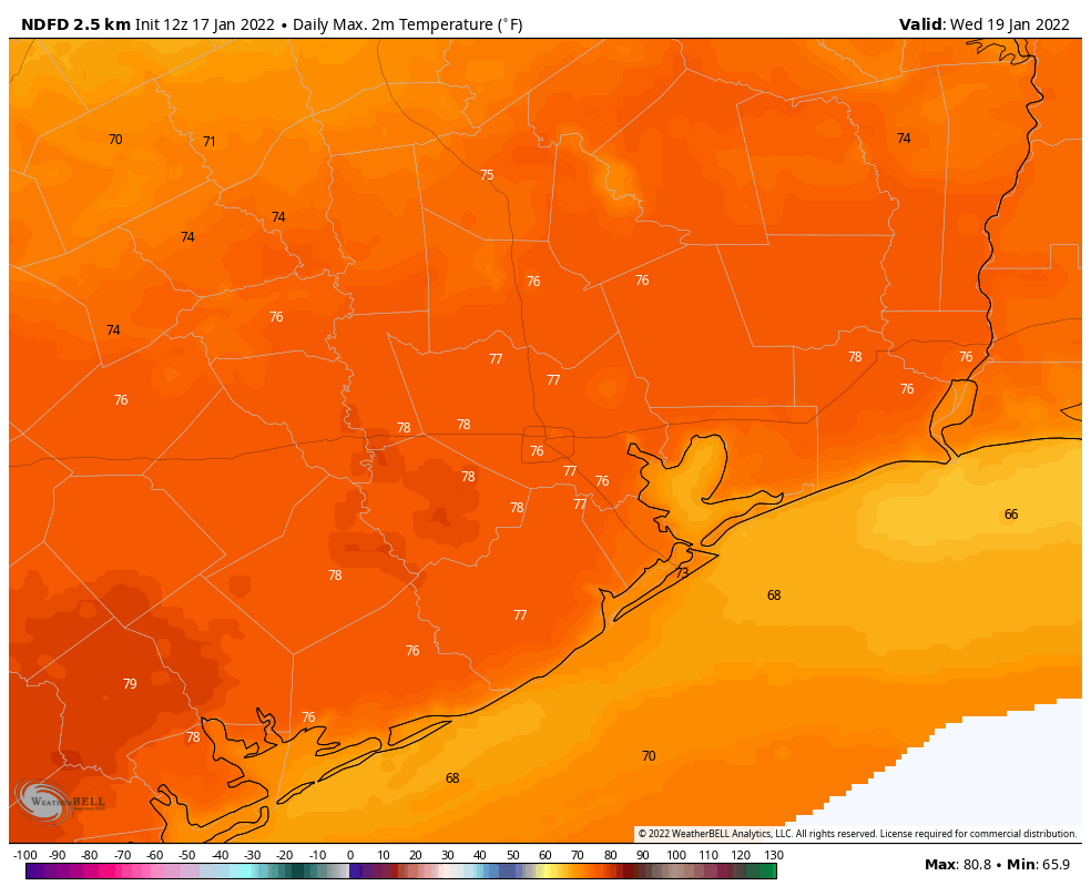
Wednesday will see our warmest weather of the week, and for quite some time. (Weather Bell)

Wednesday

This will be a fairly warm day, with highs likely reaching the mid- to upper 70s. Winds will start to kick up out of the south in response to an advancing front, perhaps gusting to around 20 mph. This front will push into the region later on Wednesday, likely during the evening or overnight hours, but some timing questions remain. I think most of the area will likely see some light rain with this front, with accumulations ranging from 0 to 0.5 inches for most. Showers are probably more likely closer to the coast than for inland locations.

Temperatures will plunge on Thursday, setting up very cold conditions by Thursday night. (Weather Bell)

Thursday and Friday

Unlike we often see with cold fronts, while this one will have cold, dry air at the surface, there will be a layer of more moist air aloft. Effectively, this means we’ll see an ongoing chance of precipitation and partly to mostly cloudy skies to end the work week. These will be cold days, likely with highs in the 40s, and Thursday and Friday nights will drop into the 30s, with a light freeze possible inland. The potential for light precipitation and temperatures near freezing does raise the possibly of seeing some sleet for well inland areas, or possibly even snowfall, on Thursday or Friday nights. Right now I’d rate these chances as fairly low, but certainly non-zero, especially for areas inland of Interstate 10. It’s something we’re watching, and will keep you in the loop as our confidence increases.
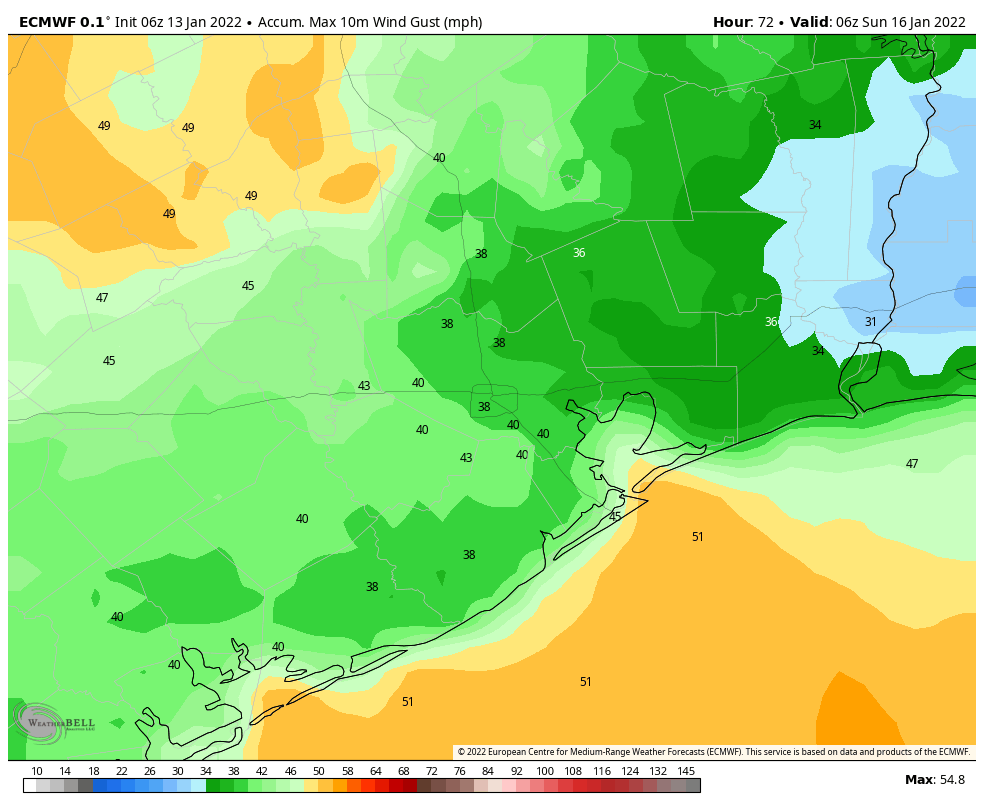
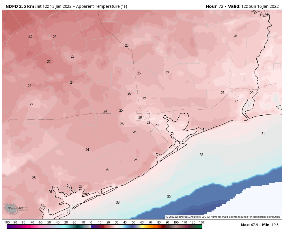
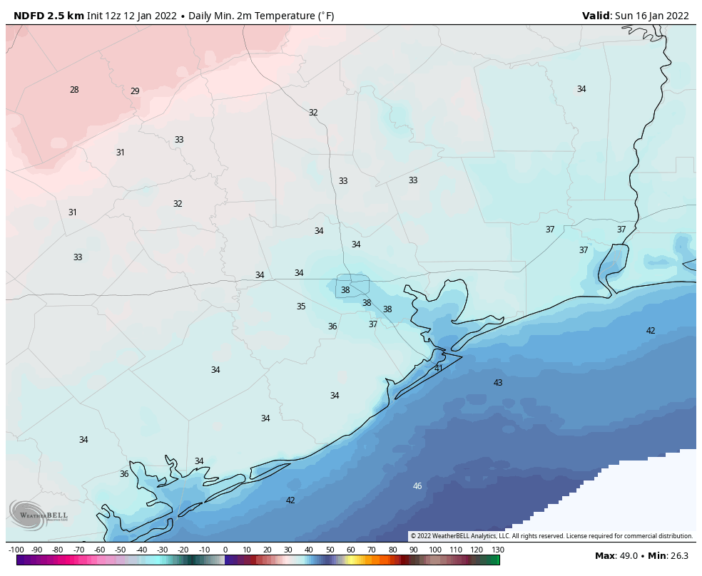
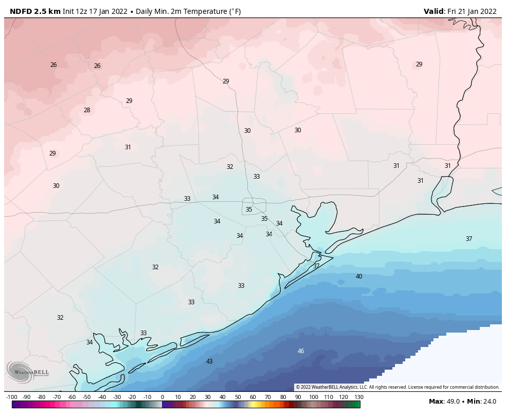
Saturday and Sunday

Saturday is going to start out cold, likely in the upper 20s to lower 30s for inland areas, and slightly warmer closer to the coast. And the weekend will remain chilly, with highs perhaps around 50 degrees, and lows in the upper 30s to low 40s. Skies will be partly to mostly sunny, but we can’t entirely dismiss the possibility of some additional rain showers on Saturday and Saturday night. Highs may recover to around 60 degrees by the middle of next week, but overall conditions should remain chilly and winter-like for the foreseeable future.

Houston’s weekend will be sunny, windy, and quite chilly

Houston will experience two pleasant, mostly sunny days before a cold front barrels into the region early on Saturday. This will set the stage for a chilly and blustery weekend, with temperatures near freezing across much of the area on Sunday and Monday mornings. Beyond the cool weather, there are no concerns for the week ahead.

Thursday

Conditions today will be pleasant, with sunny skies and moderate westerly winds. Expect highs to reach about 70 degrees. Low temperatures tonight will drop into the upper 40s in Houston, with slightly cooler conditions further inland, and a bit warmer along the coast.

Friday

Winds will shift to come from the south on Friday, perhaps gusting to around 15 to 20 mph during the afternoon hours. This will allow for a slightly warmer day, with highs in the low- to mid-70s. Skies should remain mostly to completely sunny, however. Clouds begin to build overnight, with temperatures likely holding in the mid-50s.

Forecast for maximum wind gusts on Saturday afternoon in the Houston region. (Weather Bell)

Saturday

The timing of this weekend’s cold front has advanced a little bit, and it now appears as though it should reach western areas during the pre-dawn hours on Saturday, central Houston by around sunrise if not before, and push off the coast by 7 to 9 am. Some scattered, light showers are possible with the front near the coast, but for the most part is should be a dry passage. In the front’s wake, winds will kick up out of the north at about 20 mph, with gusts as high as 30 to 40 mph. These winds will likely peak during the afternoon and early evening hours. Temperatures on Saturday afternoon will probably hover in the mid-50s, dropping quickly during the evening and overnight hours.

Sunday

Lows on Sunday morning will likely start out in the mid-30s. Winds should subside some overnight, but during the pre-noon hours on Sunday we should still see some gusts of about 20 mph, and this will make the morning feel very brisk indeed. If you’re participating in the Houston Marathon, please dress accordingly, as morning wind chill temperatures should be in the 20s. High temperatures on Sunday, beneath sunny skies, will likely peak in the mid-50s before another cold night with temperatures dropping to the mid-30s in Houston, with a freeze possible for outlying areas.

Wind-chill temperatures on Sunday morning will reach the 20s. (Weather Bell)

Next week

We’ll see a gradual warm-up through about Wednesday of next week, with highs likely reaching the low- to mid-70s before some kind of front arrives. Light rain is possible with the front, which should knock overnight lows into the 40s or possibly even 30s for the second half of next week. As ever, details are to come.

Looking ahead, most of January should be fairly cold in Houston

For now there’s no indication of extremely cold weather, but the rest of January does look to be rather winter-like for Houston. While there may be the odd 70-degree day, for the most part we’ll be colder during the daytime, with plenty of nights in the 30s and 40s. A freeze is possible as soon as Sunday morning in outlying areas of the region, and it will definitely make for a cold Houston Marathon.

Wednesday

Temperatures have fallen to around 50 degrees this morning, and with a fair amount of cloud cover they’ll be slow to rise before noon. But with more sunshine this afternoon, I’d expect much of the region to see high temperatures in the low- to mid-60s. Light northeast winds will turn more westerly this afternoon. With clearing skies later today and tonight, most areas should see low temperatures drop into the 40s overnight.

Thursday and Friday

These will be a pair of splendid days, with sunny skies and highs between 70 and 75 degrees. Overnight lows will range from the upper 40s to low 50s, for the most part, with generally moderate winds. Dewpoints will creep into the upper 50s by Friday afternoon or evening, so it will feel a bit humid, but overall these will just be wonderful weather days for the region. Enjoy!

Forecast for maximum wind gusts on Saturday after the front’s passage. (Weather Bell)

Saturday

Change will arrive by Saturday morning, with a strong front pushing into northwest areas probably sometime around sunrise or shortly thereafter, into Houston during the mid-morning hours, and arriving near the coast around Noon. It’s likely that the front’s passage will be a dry one, or with only a bit of light rain, but with plenty of wind. Gusts on Saturday afternoon may well get above 30 mph as temperatures hover in the 50s despite sunny skies. Winds will continue to blow on Saturday night as lows drop into the upper 30s in Houston.

Sunday

The good news if you’re running the marathon is that we can be highly confident in dry conditions, both in terms of humidity as well as clear skies. For those who like the cold, Houston Marathon start line temperatures will be rather chilly, too. Expect the mercury to be somewhere between 35 and 40 degrees. The less good news is that while winds will slacken some from Saturday, I think we’ll still see a persistent northerly wind on Sunday morning of about 10 mph, with gusts from 15 to 20 mph. That is less than ideal for both runners and all the amazing volunteers at the marathon. Highs will climb into the 50s during the afternoon. Lows will drop into the 30s on Sunday night, with some inland areas again seeing a light freeze.

Low temperatures on Sunday morning. (Weather Bell)

Next week

Temperatures will gradually warm next week through about Wednesday, when the next front arrives. This one has a better chance of producing some rainfall, but nothing that looks too crazy in terms of amounts. Lows should drop back into the 40s toward the weekend.

Houston to see solidly winter-like weather for awhile now

Good morning. Temperatures range from near freezing in Montgomery County to the upper 40s along the coast on what should be our coldest morning until at least Sunday. Houston’s basic pattern is pretty well locked in, with a slow warming trend from now through Friday, before the next front arrives and makes for a cold and breezy weekend ahead.

Tuesday

Today will not warm up a whole lot, as an upper-level disturbance will help to generate some cloud cover. As a result, expect highs to only reach into the mid- to upper-50s, and with light to moderate winds out of the northeast it will feel fairly chilly outside. There is a slight chance of showers this evening, although I think our air mass is dry enough that an upper-level low probably won’t produce any measurable rainfall for most areas. Lows tonight should be a couple of degrees warmer than Monday night due to the cloud cover.

Tuesday will be partly cloudy and somewhat chilly. (Weather Bell)

Wednesday

We’ll see a mix of clouds and sunshine on Wednesday, and local temperatures will depend on how much sunshine breaks through. Overall, highs somewhere between 60 and 65 degrees seem a good bet for most locations. As skies clear tonight, most of the region should again see temperatures drop into the 40s on Wednesday night.

Thursday and Friday

As the high pressure system moves off to the east during the middle of the week, we’ll start to see a warmer flow for Thursday and Friday, both of which will probably be mostly sunny days with highs in the vicinity of 70 degrees.

Saturday, Sunday, and beyond

Saturday morning will probably start out fairly mild, with temperatures in the low 50s, before the next cold front arrives. I think it will likely reach the Houston metro area sometime between sunrise and noon, although that’s not locked in. Some brief, light rain is possible with the front although for much of the area it looks to be a dry passage. Saturday afternoon and evening look breezy, with temperatures in the 50s and gusts of perhaps 20 to 35 mph.

Early-look forecast for wind gusts on Saturday afternoon show fairly blowy conditions across the region. (Weather Bell)

By Sunday morning, lows likely will drop down to around 35 to 40 degrees in downtown Houston—a good incentive to keep running during the marathon. Winds, fortunately, should begin to subside somewhat by Sunday morning, although they will continue to blow from the north at perhaps 10 mph. Highs should climb into the mid-50s beneath sunny skies, with another night of temperatures in the 30s for inland areas, and 40s along the coast.

A warming trend then begins on Monday for the region, with another front possibly moving through some time on Wednesday, and perhaps bringing somewhat better rain chances with it