Houston will see a slight chance of rain the next two days

Steve Earle has long been one of my favorite music artists. He grew up in San Antonio and seemed to understand a little bit about the ways of Texas rainfall. In particular, I often recall his song “The Rain Came Down,” released in 1987, when I think about Houston’s penchant for either flooding or being in a drought during the summer months. The song itself is not about weather, but there’s this one line that just so perfectly captures my feeling about Houston summers:

And the rain came down
It’ll wash you away and there ain’t never enough

For a five year period from 2015 to 2020, it washed us away. Increasingly, this year, there ain’t ever enough. Take a look at this rainfall graphic for Hobby Airport, which shows the region receiving less than half of its normal rainfall for 2022. It’s that way for much of the region, especially for areas along and south of Interstate 10. Unfortunately, while we have a chance of rain the next two days, there continues to be little sign of the overall pattern changing.

Houston Hobby temperature and precipitation graphic for 2022. (National Weather Service)

Thursday

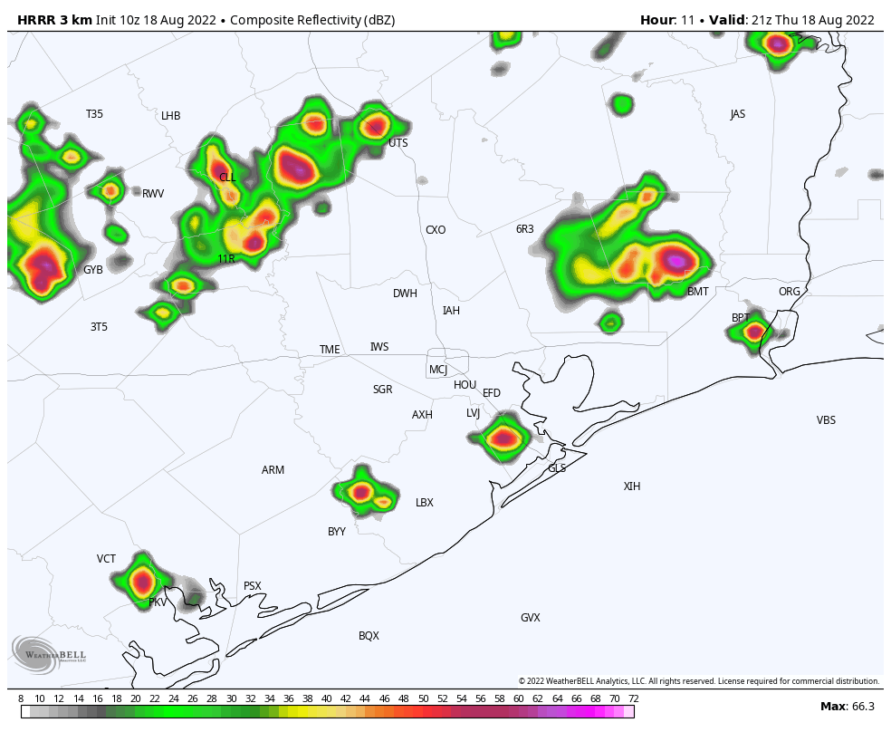
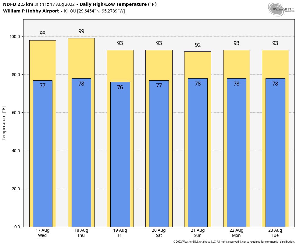
High pressure continues to dominate our weather, leading to continued high temperatures in the upper 90s for much of the region on Thursday. The difference today and Friday is that there will be more atmospheric moisture to work with, so it is possible the sea breeze will generate some pop-up showers and thunderstorms during the afternoon hours. Your chances today are about 20 percent, so I wish you luck. Winds will be light, out of the southeast, and you know the overnight is going to be sticky humid, don’t you?

Friday

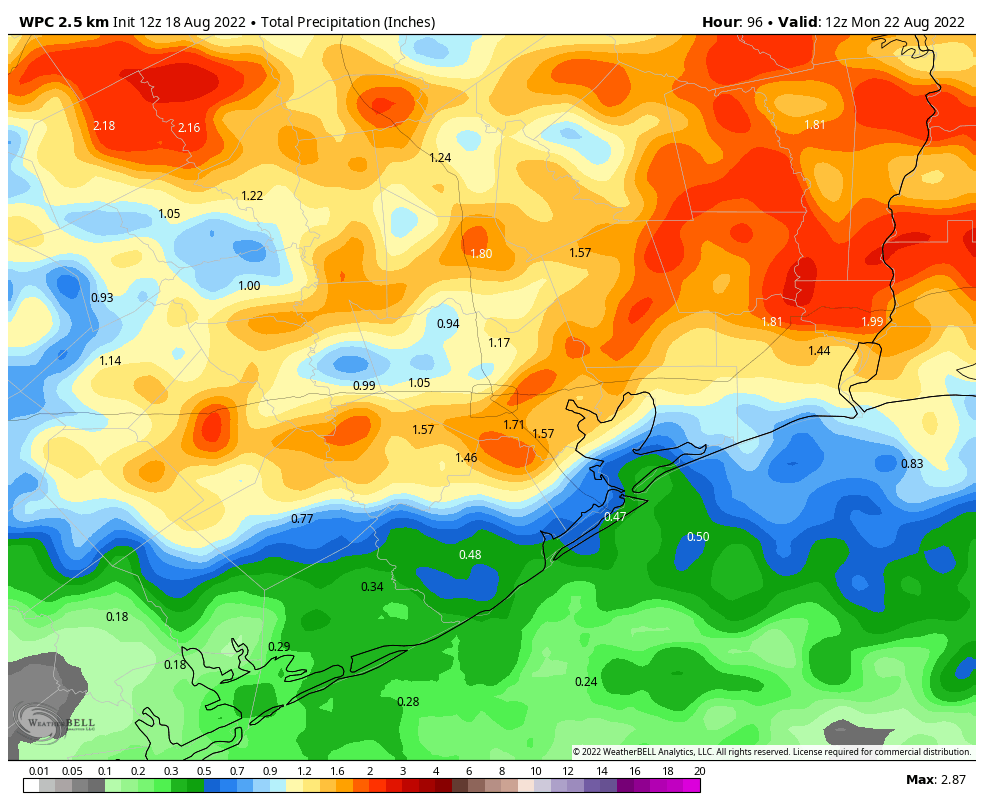
As moisture levels peak, rain chances are probably best on Friday, reaching 25 or 30 percent. Otherwise expect more mostly sunny skies with highs in the upper 90s.

Saturday and Sunday

The weekend will be downright hot, with 100-degree readings possible on Saturday and the Sunday Juneteenth holiday. Rain chances don’t entirely go away, but they’re probably hovering at around 10 percent with mostly sunny skies.

Welp. (Weather Bell)

Next week

I’m afraid that, for now, there’s no reason not to expect next week to be hot, mostly sunny, and mostly devoid of rainfall.

Houston nearing the longest day of the year, with the Sun reaching its highest point in the sky

Good morning. This is Eric, and I’m back from an extended weekend at a family reunion in southeastern Missouri. I must say that I enjoyed one day with a cool morning last Friday, with a daily high in the low 80s, before high pressure pushed temperatures there into the upper 90s. So my break from the heat was short-lived, but still better than nothing. As for Houston’s weather, well, not much has changed since I left town nearly a week ago. And not much is going to change in the next week. After that? Maybe. But just maybe.

Wednesday

High pressure anchored over the southeastern United States will still be the driving factor for our weather for awhile, but high temperatures today should “only” get into the mid-90s for much of the region. Skies will be mostly sunny, with light southerly winds at 5 to 10 mph. Overnight lows won’t fall much below 80 degrees, at all, for inland areas. The coast will remain above 80 degrees.

NOAA rain accumulation forecast for now through Friday. (Weather Bell)

Thursday and Friday

Most of the Houston region has yet to record even a scintilla of rainfall during the month of June and that’s unlikely to change on Thursday and Friday. However, as atmospheric moisture levels jump a bit, there will have about a 20 percent chance of rain showers each day, primarily during the afternoon hours due to the sea breeze. I think there’s even a slight chance that a few of these showers will pulse up and, however briefly, drop some heavier rain for a very few lucky areas. Will you win the rainfall lottery? Otherwise, expect highs in the mid- to upper-90s on both days with mostly sunny skies.

Saturday and Sunday

Both weekend days will be sunny and hot, with temperatures in the upper 90s. If you are out and about celebrating Juneteenth on Sunday, please do take precautions both from the heat and sunshine. We are very nearly at the longest day of the year (June 21), which means the Sun is the highest in the sky. As a matter of fact, between 1 and 2 pm during the afternoon, the Sun reaches an altitude of 84 percent, meaning those solar rays are passing through almost no atmosphere before they reach your skin. (If you’re curious, the Sun’s peak altitude during the shortest winter day in Houston is just 37 percent).

Yeah, next week looks really hot as well. (Pivotal Weather)

Next week

The overall pattern does not change much during the first half of next week, I am afraid. But after that point there is the potential for an increase moisture to move in from the Gulf of Mexico, and possibly raise the chances of rain from 0 to something measurable. Temperatures still look very hot, with highs in the upper 90s most likely.

As Houston’s heat wave intensifies, let’s discuss the tropics silly season

Good morning. Houston’s heat wave will continue for the foreseeable future, at least through the early part of next week and possibly longer. Temperatures will peak this weekend, likely reaching 100 degrees for much of the area and setting numerous records. With high pressure dominating, rain chances will continue to remain low to non-existent.

This morning I’d also like to address what might perhaps be best characterized as “tropics silly season.” This is when “scary” maps showing a large hurricane striking Texas or other parts of the Gulf coast are shared on social media, as has been happening this week. These forecast maps are typically not falsified. They’re real products, but they are not representative of reality. What I mean is that the computer model has indeed generated such an output, but this output often comes at 12-, or 14-, or even 16-days after initialization, and therefore simply no longer bears any reality toward what will happen. Weather models simply cannot provide this specific of a forecast, that far out.

They key to spotting such tropical scare fodder is to look at the forecast hour of the output. If it is greater than 240 hours (10 days) it can safely be discounted. Take the forecast below from the US Global Forecast System model, which came out on Wednesday morning. Now the GFS model has plenty of uses, but it has a known bias for generating phantom storms at this time of year. Anyone sharing this is doing so out of ignorance, at best, and malevolence, at worst.

On the face of it this model output looks intimidating. But note the forecast hour, 360. That means it’s a forecast for 15 days from now. (Tropical Tidbits)

The bottom line is that the model may indeed be picking up on increasing tropical moisture in the Caribbean Sea or Gulf of Mexico in about 10 days time. And something may come of it. But the most likely scenario, by far, is that anything tropical that forms would stay away from the upper Texas coast.

Thursday

Today will be hot and sunny, with high temperatures in the upper 90s. The heat index will near dangerous levels this afternoon so please take care outside. Overnight lows will fall into the upper 70s, except for the coast which will remain in the low-80s. Winds will be light, out of the south.

High temperatures on Saturday will be downright uncomfortable. (Weather Bell)

Friday, Saturday, and Sunday

More of the same. I’d expect the heat to peak on Saturday and Sunday, with high temperatures reaching 100 degrees for much of the area.

Next week

As winds turn more southerly, we probably will see high temperatures drop back into the upper-90s, and possibly mid-90s. I don’t see much of a chance for a pattern change until at least the second half of next week, and even then it seems that our weather is unlikely to change a whole lot. We shall see.

Yes, Houston is hot in the summer, but typically not this hot in June

Good morning. Alas, there is no real change in the forecast: Houston is hot, and we’re going to get hotter. There is no real relief in sight, and rain chances are near zero for the next 8 to 10 days. We are entering a bonafide heat wave, with high temperatures cresting above 100 degrees for much of the region away from the coast for a few days this week. Some people have responded, “Houston is hot in the summer.” And that’s true, it is. But at this time of year the normal high temperature is 92 degrees, not 102 degrees. We have a chance to set several daily high temperatures over the next week.

So yes, Houston is hot in the summer. But we shouldn’t be this hot, this early, in the summer.

The green area represents the range of “normal” highs and lows for Houston, and the red shows maximum temperatures. We’re about to set some records. (NOAA)

Wednesday

High temperatures will generally reach the upper 90s today beneath mostly sunny skies. Winds will be out of the south at 10 mph or, so, with moderately higher gusts. You already know the nights are going to be warm, don’t you? Galveston has broken its record for “high” minimum temperatures the last two nights, with the temperature only dropping to 83 degrees. Expect more of the same in the days ahead.

Thursday, Friday, Saturday, and Sunday

As high pressure intensifies over the southern United States, Houston will not be spared. Each of these days could hit 100 degrees, with temperatures likely peaking on Saturday. Please take heat and sun precautions when outside during the middle of the day. Skies will be sunny, with moderate southerly winds.

Forecast high temperatures for Bush Intercontinental Airport. (Weather Bell)

Next week

The overall pattern changes a bit next week, as high pressure ridge starts to ease a little. That probably means our high temperatures will drop into the mid-90s, and perhaps by Wednesday or Thursday of next week a chance of some sea breeze showers will return.