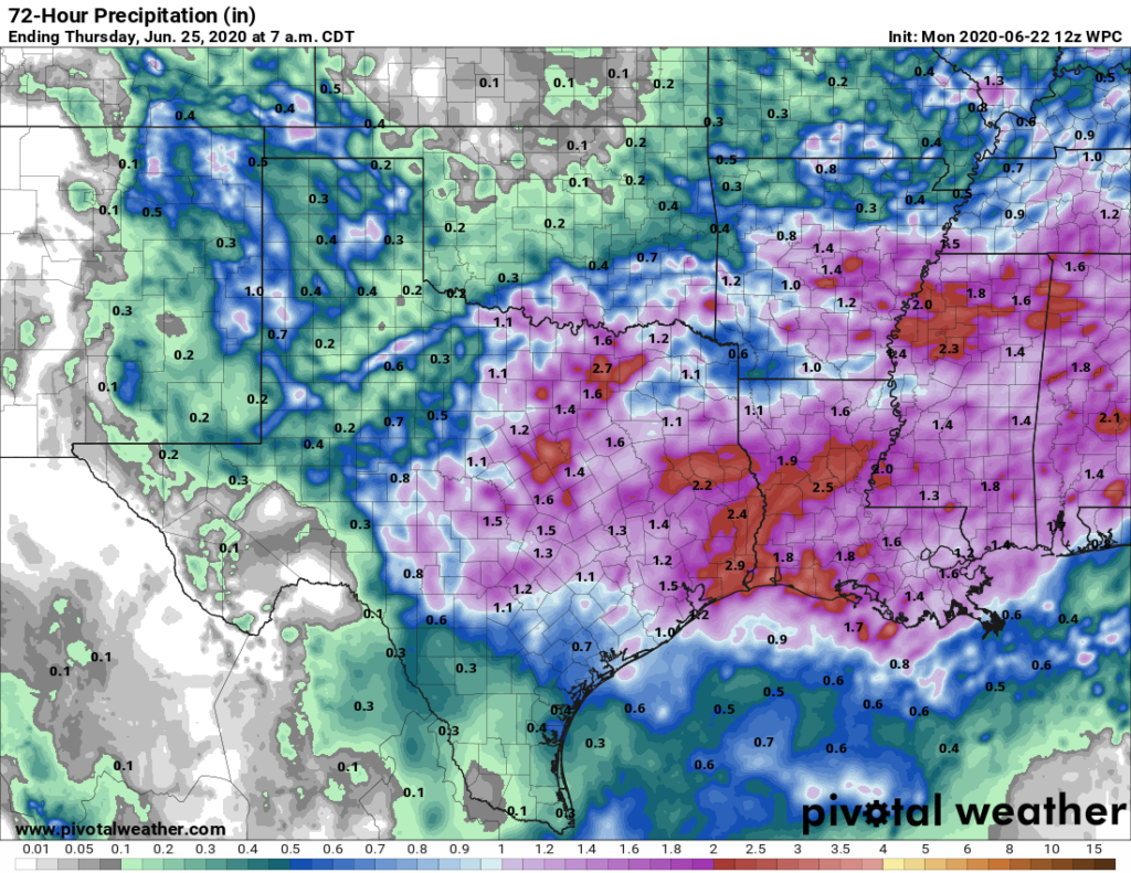
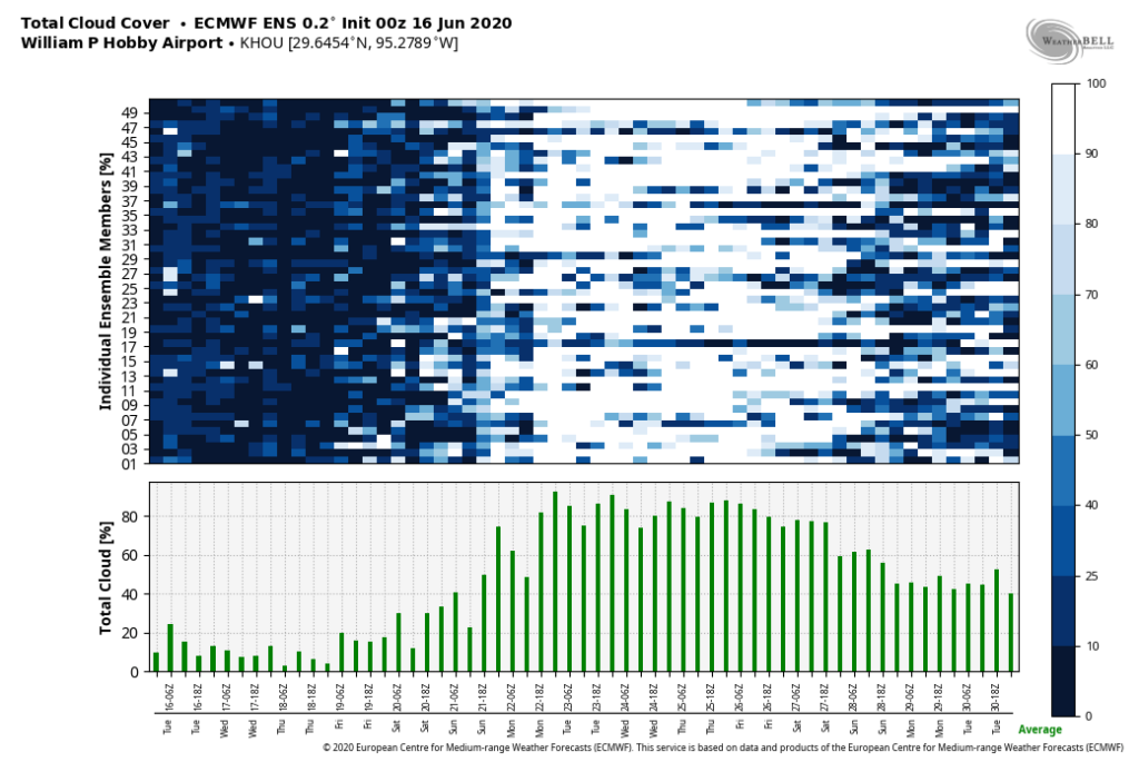
Good morning. After rather boring weather last week, there are two significant weather issues to track this week. First up, as experienced by some parts of the city of Saturday and Sunday, is the potential for moderate to heavy rainfall due to moist air moving in from the Gulf of Mexico. Those rain chances should decline significantly by this weekend as Saharan dust—likely more intense than previous events of this nature—moves into the region.
Monday
The absence of high pressure and influx of moist Gulf of Mexico air will continue today. Like on Sunday, we should see the development of showers near the coast this morning. During the afternoon, these showers and thunderstorms will move inland and should spread out over much of the Houston area.
Most parts of the region that see rain will likely pick up less than one-half inch, but as we saw on Sunday, these storms have the potential to put down 2 to 3 inches of rain pretty quickly over small areas. Storms should weaken, if not go away entirely, as the sun sets. Clouds should help limit temperatures to around 90 degrees. Winds will be about 10 mph from the south, except inside storms when gusts could be substantially stronger.

Tuesday and Wednesday
Our wet and gray weather continues. This time, as moist air continues to stream inland, a storm system will move into Houston from west to east, likely reaching Houston during the afternoon or evening hours. This should enhance storm coverage, and we can expect around a 70 percent chance of rain on Tuesday and Wednesday as a result. On average, the city of Houston will likely receive 1 to 2 inches of rain, in total, through Wednesday. But again, we’re more concerned about isolated, higher totals due to the moisture available. Highs may struggle to reach 90 degrees given the cloud cover.


