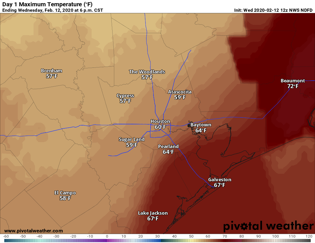
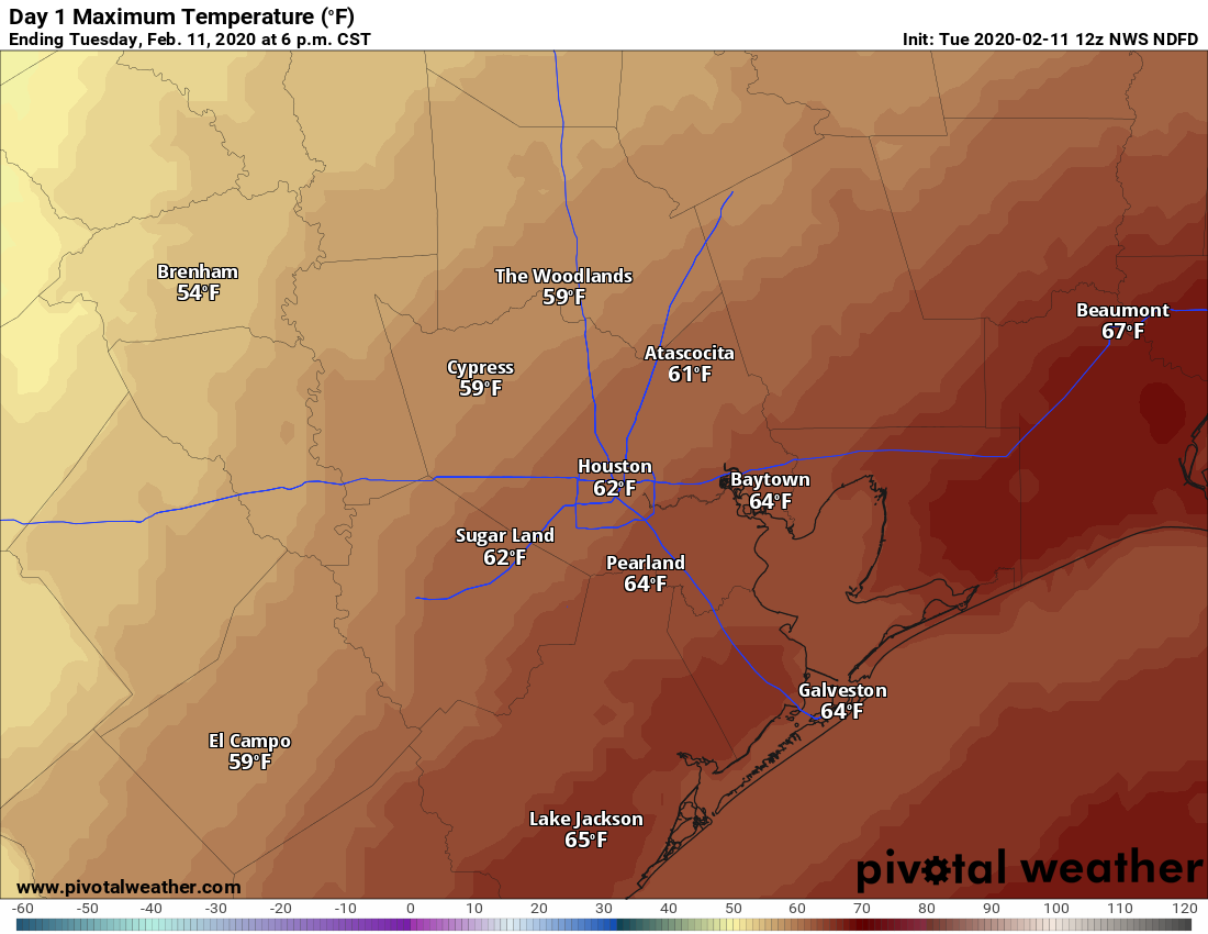
What a difference a day makes. With clearing skies and dry air, lows this morning have fallen into the 40s across the Houston area. Our forecast for the weekend continues to improve as well, now with at least some sunshine possibly breaking out over the area and diminishing rain chances. Looking a bit further ahead, a stronger front may bring a bit more of a prolonged period of cooler weather next week.
Thursday
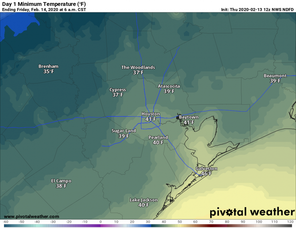
Sunshine will prevail for most of the day Thursday, with high temperatures likely holding in the upper 50s. Northerly winds will blow at about 10 mph, gusting perhaps a bit higher, which should be enough to keep a decent chill in the air. Clear skies and light winds will push overnight low temperatures down into the 30s for most inland areas of Houston—although the entirety of the metro area will probably remain above freezing.
Friday
Another pleasant winter day, with sunny skies and high temperatures near 60 degrees. Winds shifting to come from the east should allow for Friday night’s low temperatures to settle in about five degrees warmer than Thursday night.