Well, the front made it through. It’s not a strong front, and it won’t last too long, but at least it should clear out our weather for a day or a bit longer. I guess we’ll have to take what we can get after such a soggy September.
Thursday
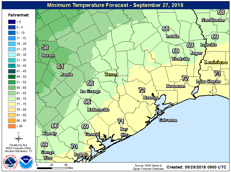
This should be a pretty nice day, with highs only in the low- to mid-80s, albeit with partly to mostly cloudy skies. Light northerly winds will bring some drier air into the region as well, and this should keep rain showers mostly at bay—although we can’t rule out some lingering activity along the coast. Low temperatures tonight will probably be the coldest they’ve been this fall, with the northern half of Houston likely falling just below 70 degrees. Again, this isn’t a particularly strong front for late September, but this evening will probably feel pretty nice outside.
Friday
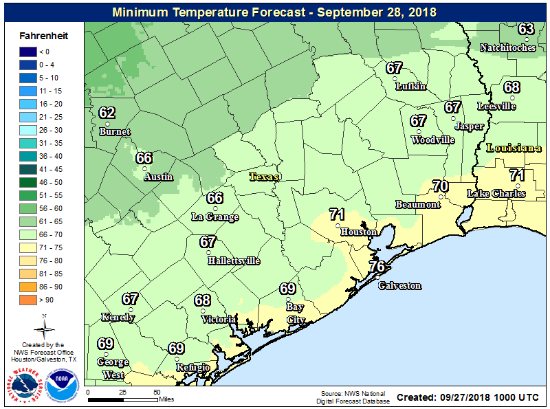
After the cooler start, the region will see the return of moisture from the Gulf of Mexico on Friday, and this should allow some showers and thunderstorms to start spreading into coastal areas, and possibly inland later in the day. With partly sunny skies and highs in the mid-80s, we don’t expect anything too widespread or too heavy in terms of rainfall.