Rain risk not quite done for Houston

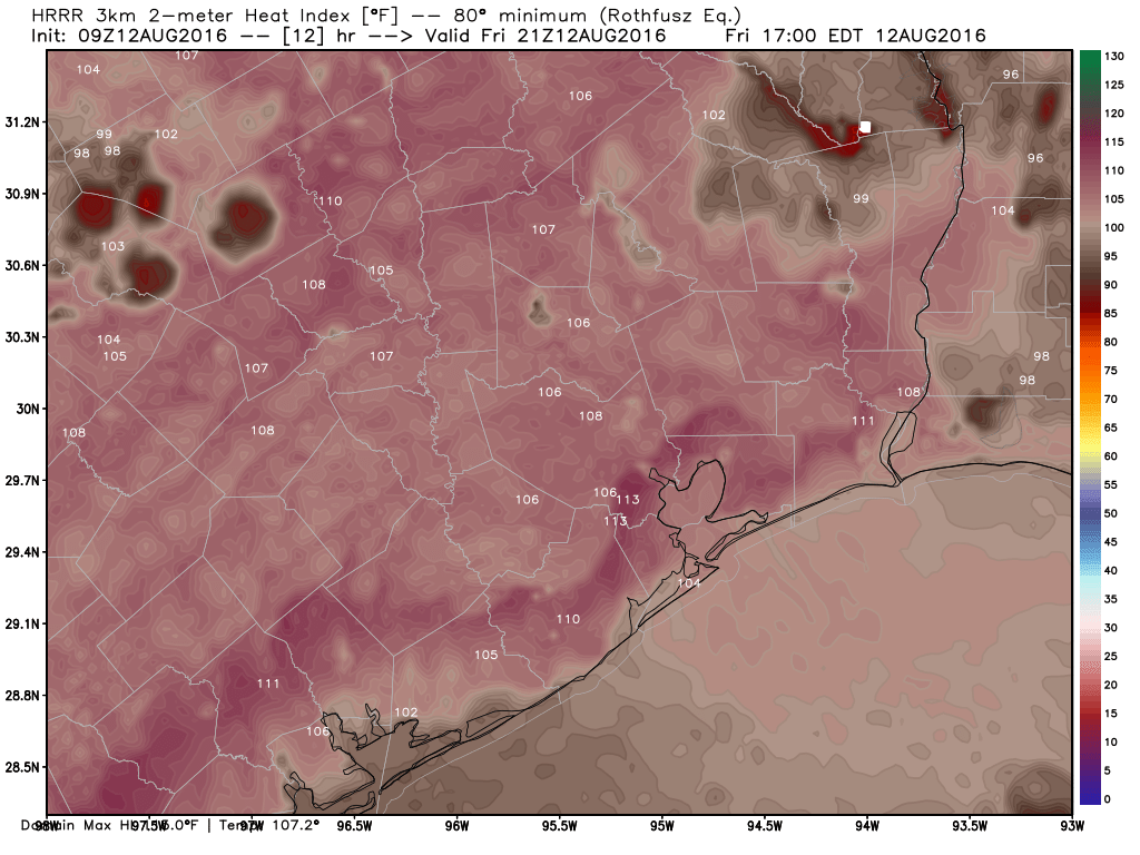
With rain and storms daily, Houston has held up pretty well, particularly considering the terrible situation in Louisiana. Yes, there have been minor bouts of flooding in parts of the area, but the rain has moved quickly enough and sporadically enough for us to escape major problems to this point. And for the first morning this week, we don’t have any Flash Flood Watches in the area to tell you about.

7 day rainfall totals show a widespread 3-5", areas of 5-8", and a max near Cypress of over 1 foot! (Harris County Flood Control)
7 day rainfall totals show a widespread 3-5″, areas of 5-8″, and maxes near Crosby of over 10″ and near Cypress of over 1 foot! (Harris County Flood Control)

We’re beginning to see this pattern finally erode a bit.

Today & Friday

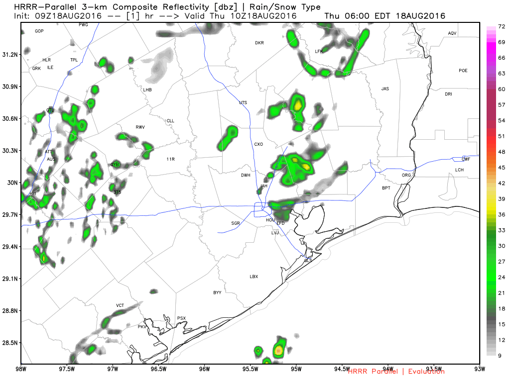
The transition from this widespread daily thunderstorm pattern to something we’re more familiar with in summer in summer is underway: Morning coastal showers spreading inland with the sea breeze off the Gulf in the afternoon. You can see a radar forecast for today below:

HRRR model forecast radar for today shows storms spreading inland during the afternoon. (Weather Bell)

Basically, I would expect gradually fewer showers today and tomorrow compared to how the earlier part of this week has gone. That said, we’re still probably looking at a slightly stormier than usual pattern for August, just not as busy as it has been for much of the week.

See full post

Houston’s hundreds streak continues

Houston’s on a hot streak and not just at the Olympics! Our streak of 100° days was extended to five on Thursday. We were able to do 6 in a row last summer, and we will come close to matching that streak today. The hot weather in Texas has lead to record energy demand across the state:

While no serious weather records are being set with this heat, Texas still sets power records because of population & economic growth. While we should have another scorcher today, as Eric has been talking up this week, cooler temperatures and some good rain chances are coming back our way.

Today

One more day of just a slight chance of a shower or storm, along with continued hot temperatures. A Heat Advisory is once again posted for all of Greater Houston, meaning heat indices will flirt with 110°. Actual temperatures this afternoon will make one more run for 100°, and it will continue to feel very unpleasant. The best chance for showers today will be near the coast and well north and east of the city, but as we saw yesterday, with a quick 1-2″ just outside the West Loop, any isolated shower could produce some heavy rains.

Heat index forecast from HRRR model for 4 PM, shows 105-110° widespread, and even hotter possible in a few spots. (Weather Bell)

See full post

Houston’s heat hurtles along

As Eric has been describing much of this week, August is most certainly a month in Houston you just survive, and perhaps you use the time to dream about how jealous our cohorts in the Northern U.S. will be come November through March (as a transplant, I most certainly can confirm they’re jealous).

Continued hot the next few days, with just a few storm chances, mainly at the coast. I don’t see a lot of variation in the weather through the weekend: High temperatures should be mid to upper 90s and low temperatures in the upper 70s, perhaps low 80s at the coast. Rain chances should be about 5-10% inland, maybe 10-20% at the coast each day. We have a few showers near the coast already this morning, so look for those to continue in spots, perhaps diminishing in coverage a little through the weekend. It looks like a mostly decent weekend for outdoor plans if you can take the heat and risk of a quick passing downpour.

Traveling? Well, it doesn’t look much cooler elsewhere.

The weekend travel forecast is only slightly hot.

See full post

Weekend Tropical Update

It’s still a bit early in the game, but we wanted to bring you up to speed on a couple tropical disturbances in the Atlantic that are driving “chatter” in social media and elsewhere about how they may or may not impact Texas and elsewhere. Let’s dig in.

“Invest 96L”

Before a tropical disturbance becomes a depression or named storm, for the purposes of running models and collecting data, the National Hurricane Center uses the designation “Invest” (90-99) to describe a system. Basically, it just means an area they’re investigating for possible future development. Invests are common and have a sequential numbering scheme that repeats through the season.

With that in mind, we have two “invests” out there. The first one is 96L, a system about 400-500 miles southwest of the Cape Verde Islands. It’s not terribly well organized, but it has a slight chance to develop over the next couple days.

Invest 96L slogs across the far eastern Atlantic, not terribly well organized. (NOAA/NHC)


Reliable weather models are mostly unenthused with the future prospects of Invest 96L. I haven’t seen any reason to think this will develop into much of anything, and its long term prospects likely do not include the Gulf, so no worries here for us.

See full post