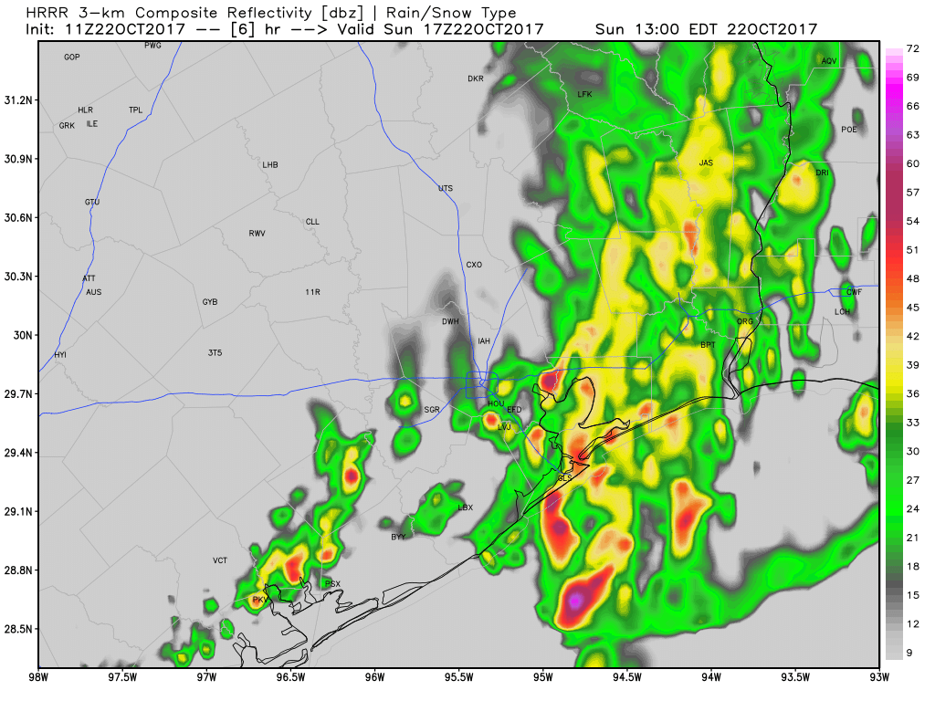
Good Sunday morning. As of 7:15am CT a cold front is moving through the northern parts of the Houston metro area, and should push through the city by 9am and off the coast by noon.
Residents can expect some rain showers and a few strong thunderstorms with the front’s passage, but the main line is storms is moving fairly rapidly to the south-southeast, so the strongest storms won’t last too long. Light rain is possible for an hour or two after the front’s passage later this morning before we dry out this afternoon.
After the storms move through northerly winds will persist through the afternoon hours as skies clear out. We can expect gusts in the 20s through the early evening hours as high temperatures perhaps hang around the upper 70s. Temperatures will cool fairly quickly this evening.
Most of the rest of the week looks clear, cool, and spectacular. We’ll have our full forecast on Monday morning.

By golly…this is a real frontal passage!
THX, Super Weatherdude! 🙂
Hooray!
And way to go Astros ! !