In brief: In today’s post we explain why Sunday was slightly less humid across the region, and offer two small reasons for hope about Houston’s weather. Unfortunately, in the main, we are looking at very hot and sunny weather.
You want some good news?
Look, I’ll be honest with you this morning. I always am. We are in the bleakest part of the year for weather in Houston, and sitting right under a pretty potent ridge of high pressure. In the depths of summer that means heat, that means humidity, and that means some seriously boring weather. If you want to check out of Space City Weather for the next several days I wouldn’t blame you. (But you’ll miss out on dad humor, probably).
Anyway I promised two pieces of good news. Perhaps they won’t measure up to your desperate need for good news early on a Monday morning in the middle of August, but it’s the best I can do.
- Hallelujah, August is now more than half over. In two weeks and less than a day, this month will be finished and we can, at the very least, have some false hopes about fall being on the horizon.
- Hurricane season in the Atlantic remains blessedly calm. There is literally nothing right now to be concerned about, and that seems unlikely to change in the near future.
Monday
You may have noticed some slightly drier air on Sunday. Dewpoints dropped into the low- to mid-60s in central and northern parts of the region, and this allowed for somewhat lower humidity. This was due to a couple of things. First of all the air 1 to 2 miles above our region was drier than normal. Then, during the afternoon hours we had efficient mixing between this air just above the surface, and our more humid air at the surface. As a result, the day was still blazing hot, but it wasn’t quite Houston humid. We also saw somewhat cooler night temperatures, with lows this morning in the mid-70s. The effect was modest, but noticeable.
A somewhat similar effect will be in play for the rest of this week, but to a lesser extent and for most of us any “lower” humidity won’t be quite as noticeable. Rather, we will see a hot and sunny pattern that just won’t quit. Highs on Monday will reach the upper 90s to 100 degrees for most of the region, except for areas near the coast. Winds will be light except for the afternoon and early evening, when they may gust up to 15 or 20 mph. Nighttime lows will drop into the upper 70s.
Tuesday through Friday
Rinse and repeat. Literally there is almost no change in the forecast: Sunny skies with highs in the vicinity of 100 degrees.
Saturday and Sunday
There is a slight chance of rain this weekend (think 10 or 20 percent) as we see a bit of weakness in the high pressure. But mostly we are going to remain hot and sunny.
Next week
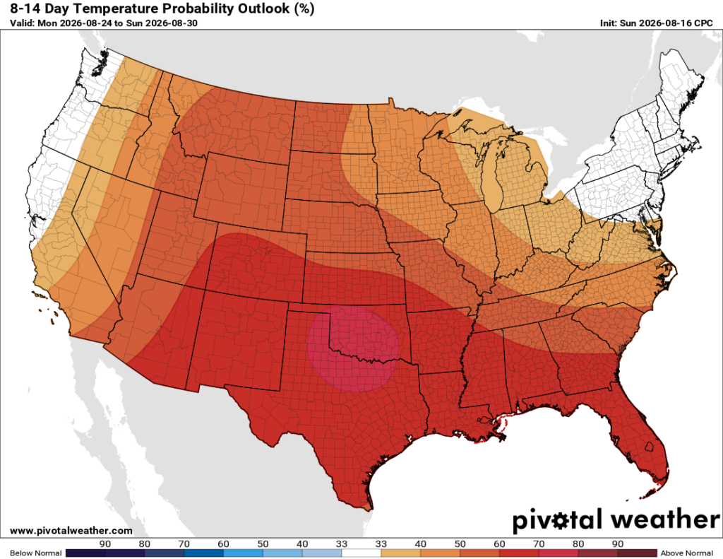
Our hot (temperatures near 100 degrees) and sunny pattern continues, at least through the work week. Rain chances are near zero.
