We’ve had quite a week. I guess if you want to grumble about the weather you’d be in Galveston wishing it were a few degrees warmer. But no one can deny it’s been flat out pretty this week. We’ve got one more winner of a day before some changes begin.
Today & Thursday
Today should be close to a repeat of the last couple. Another cool start in the 40s for many today will lead to a mild finish. We should sneak above 70 degrees this afternoon. We’ll see sunshine and a few high clouds around. Those clouds will increase on Thursday. I think it’ll be a mainly dry, quiet day, but it won’t be nearly as pretty as the current stretch of weather.
That said, we could see a few sprinkles or a shower, primarily southwest of Houston near Wharton or Jackson Counties down toward Matagorda. Look for morning lows Thursday to be in the lower or middle 50s, warming into the lower or middle 70s Thursday afternoon.
Friday
Things get a little trickier Friday. We should see clouds and a chance of sprinkles or a shower Friday morning. Temperatures will start much warmer than in prior days, with AM lows in the middle 60s. As a disturbance approaches Friday afternoon, that should help set off a slightly more robust area of showers and perhaps a few thunderstorms as well.
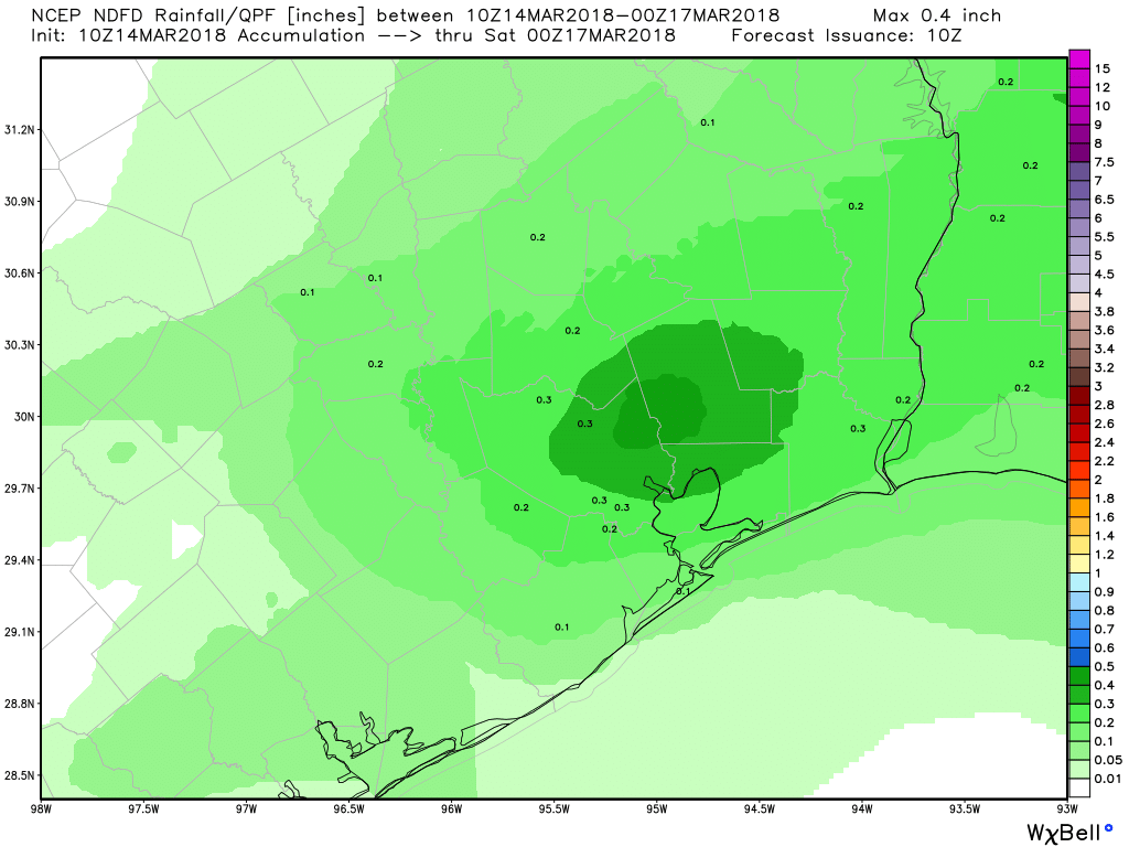
Weather models are still not fully in agreement on details here, but Friday afternoon will be our best chance of showers this week. One similarity I can find among the models is that they seem to favor areas east of I-45 for the most persistent showers. So the east side of Houston may be more likely see some pollen-cleansing showers than the west side. We will update this tomorrow as hopefully there’s slightly better agreement on details.

Weekend
So the question now is: When is our next cold front? Well, probably not this weekend. Front #1 makes it just west of I-35 and Austin on Friday, then retreats west. So that one is out. Front #2 will make it a little closer on Sunday, perhaps east of I-35 and closer to College Station. Yesterday it looked like it could get as close as even Huntsville, but that chance has since faded. To me, this adds up to a weekend with shower chances both days, but nothing that should interfere too much with any of your plans. In other words, I don’t foresee anything worse than a couple brief periods here and there where it rains for a little bit. More on this tomorrow.
Look for warm and humid weather this weekend, with high temperatures in the low 80s and lows in the mid or upper 60s, but perhaps a little cooler north and west of the metro area.
Next Week
A quick word about next week: Front #3 will make an attempt to cross the region on Monday or early Tuesday it appears right now. That should be able to get offshore and east of Houston, delivering cooler, drier air for us into next week. As of now, rain risk looks minimal with the front, so its passage may be noted as just a wind shift, with cooler temperatures and lower humidity. We’ll keep you posted.
Matt,
I’ve noticed an annoying pattern in the weather this spring that’s particularly inconvenient to those of us who work indoors M-F….. it seems like we keep getting the cloudy, rainy stuff on the weekends while the weekdays remain the best. What’s the deal with this?! Is there some pattern in atmospheric winds that’s giving us 4 days of nice weather and then 3 days of crap each weekend?? I know you don’t control the weather but it sure would be nice to know if the weather gods have it out for us this season 🙂
HA…As a Mon-Fri’er I feel the pain. There’s no real reason other than bad luck. Sometimes weather patterns move at a persistent pace of 3-4 days between systems. It just so happens that these changes are coalescing on weekends for bad weather. To be fair, the weather during the week in February was no picnic either. But yes, weekends have been pretty rough this winter. The explanation of bad luck may be frustrating, but it is how it is. Hopefully we break out soon!
I had heard a long time ago that it was common to have worse weather on the weekends in major cities because of all the car pollution during the work week. It supposedly was creating conditions favorable for rain. Almost like seeding the clouds or something. Can you tell me how far off on the believability/urban legend meter this is? 😉
You know, I had suspected this was a little bit of a stretch, but there is merit for it to be true. https://io9.gizmodo.com/this-is-why-it-always-rains-on-weekends-1540233798
I think the link is less direct as maybe it’s sold here, but scientifically, it makes complete sense so I would assume that there’s some significant truth to it. That being said, what we’ve seen this year in Houston has been less that I think and more just bad timing of weather systems. The timing of fronts, etc. seems to have often been on the weekend or early week, meaning the best chances for rain have tended to gather around the Thurs-Sun period. So in our particular case, I’d say no to that theory, but in a broader sense, yes, that makes some sense.