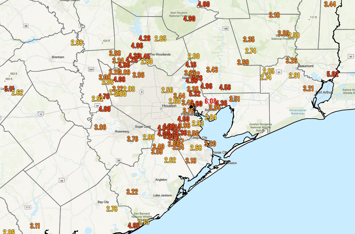
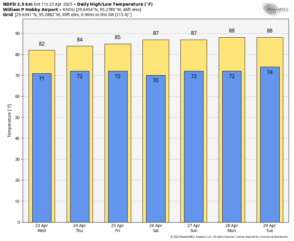
In brief: Did you like Sunday’s weather? Because that pattern will persist into Wednesday. After that point we’ll add daily rain chances into the forecast through the weekend. However, one thing that won’t change is the relatively high temperatures and humidity we’ve been experiencing.
A quick word on the Sun
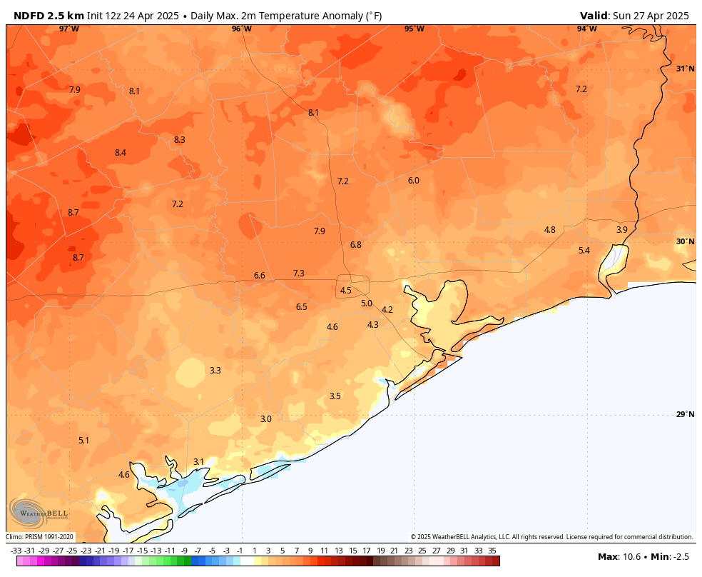
By the calendar it may still say spring, but in terms of sunshine, we are rapidly approaching the peak of the year. Nowadays, shortly after 1 pm, the Sun reaches an angle of 75 degrees (out of a maximum of 90 degrees) in the sky. Of course the Sun reaches a maximum height on the summer solstice (June 21 this year, 84 degrees), but the Sun is already climbing to the same height as it does in early August.
What’s your point, Eric? Well I think a lot of Houston residents associate August with a month when you can pretty quickly get a sunburn outside. My point is that similar conditions exist in April, so if you’re planning to be outside during the middle of the day, please take some precautions to protect your skin. It will burn quickly.
Monday
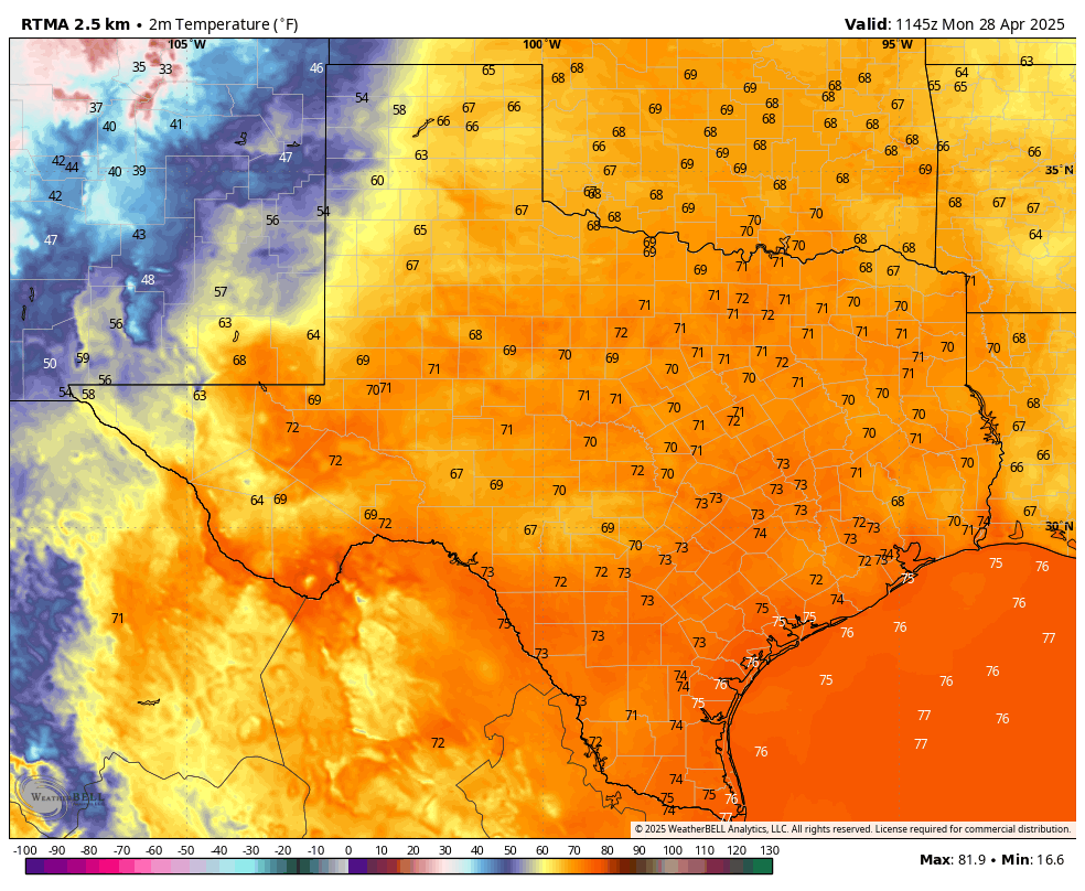
High pressure will prevail to start the week, so we are likely to see ongoing warm and humid weather for a few days. For Monday, this means partly cloudy skies, with high temperatures in the mid-80s. Like on Sunday, we will see fairly stiff southerly winds at about 15 mph, with gusts up to 25 mph. Rain chances will be low to non-existent. Skies will remain mostly cloudy overnight, with low temperatures dropping to around 70 degrees.
Tuesday
This should more or less be a carbon copy of Monday, albeit with high and low temperatures perhaps a degree or two higher. Again, with high pressure in place, rain chances should remain near zero.
Wednesday
The forecast turns slightly more dynamic on Wednesday as a cool front approaches the region but, more likely than not, stalls out well to the northwest of the metro area. Although we will be watching for the possibility that the front pushes into Houston, right now the most probable weather is scattered showers (greater chances north of I-10) on Wednesday afternoon, evening, and overnight. Expect highs generally in the mid-80s with mostly cloudy skies. Those pesky, strong southerly winds will remain in place. I don’t think we’ll see enough oomph from the front to make a meaningful impact on nighttime temperatures.
Thursday and Friday
With clearer skies these days should see highs in the upper 80s to 90 degrees for most of the area, with nighttime lows around 70 degrees. However, each day may see some scattered shower activity during the afternoon and evening hours with daytime heating. I’m confident in the heat, but less so in the rain chances.
Saturday, Sunday, and beyond
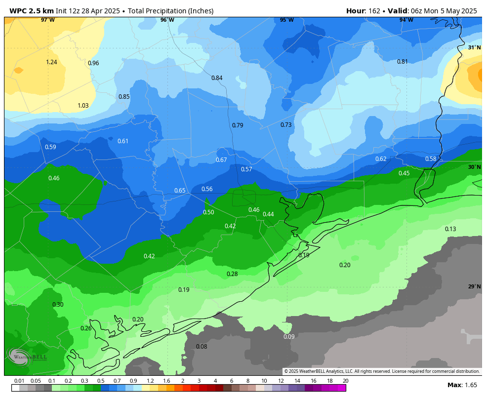
With a fair amount of moisture lingering in the atmosphere, we should continue to see daily rain chances in the vicinity of 30 to 50 percent this weekend. With a few more clouds, high temperatures may back off into the mid-80s, with continued nighttime lows around 70 degrees. With dewpoints in the 60s it will definitely feel humid outside, but not oppressively so like it will in a month or two.
Most of our modeling is showing another system that could bring elevated rain chances by the middle of next week. However, as this feature is about 10 days away, it is difficult to place too much confidence in any one outcome at this time.