In brief: Last week we spoke about a brief reprieve in strong winds over the area. It now appears as though that reprieve will end on Thursday, with gusty winds returning through the weekend. The holiday weekend also looks fairly warm and humid, with a decent chance of light rain on Easter Sunday itself.
Tuesday
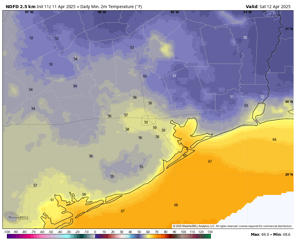
A weak front is moving into the area, bringing slightly cooler and drier air with it. As a result temperatures today will top out at about 80 degrees, with lower humidity. The front will briefly produce northwesterly winds, gusting perhaps to 15 or 20 mph. However, those winds will pretty quickly shift to come from the east. Skies will be mostly sunny this afternoon. Lows will fall to 60 to 65 degrees tonight in Houston, with cooler conditions further inland. This may not sound like much, but it will be our coldest night for at least the next week.
Wednesday
This will be a pleasant, sunny day with high temperatures of around 80 degrees. We should see southerly winds of 10 to 15 mph, with higher gusts possibly, and this will be a harbinger for the return of higher humidity levels. Lows on Wednesday night will drop into the upper 60s.
Thursday and Friday
We will end the week will a pair of breezy, partly cloudy, and warm days. Highs on Thursday and Friday will climb into the mid- to upper-80s, with moderate humidity levels—which is to say dewpoints in the lower 60s, so a tad humid but not anything like Houston will feel later this summer. Strong winds are also back on the menu. Both days will be rather windy, with southerly gusts up to 30 mph or higher. Nights will be warm, in the 70s.
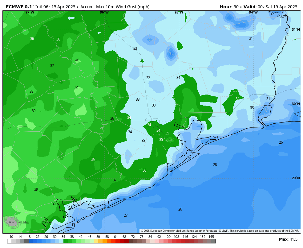
Saturday and Sunday
The weekend should also be windy and warm. An upper-level disturbance will approach the area, but it is not clear that it will get close enough to the Houston area to produce much rain. We can be confident in warm temperatures in the mid- to upper-80s on both days, with mostly cloudy skies. We’ll also continue to see those southerly gusts of up to 25 or 30 mph. As for rain, chances are probably less than 10 percent on Saturday, and in the vicinity 30 to 50 percent on Sunday. If it does rain on Easter Sunday, I think showers will be light for the most part. Organized thunderstorms appear unlikely in the Houston metro area.
Next week
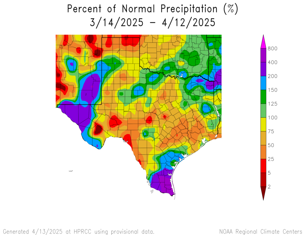
A front will approach the area on Monday, but right now the majority of our modeling guidance suggests it will stall out north of Houston. That means we will probably be left in a warm and muggy pattern. The good news for our gardens and soils is that rain chances do look better next week, especially in the Wednesday time frame. However since that is more than a week away, I would not have the utmost confidence just yet.