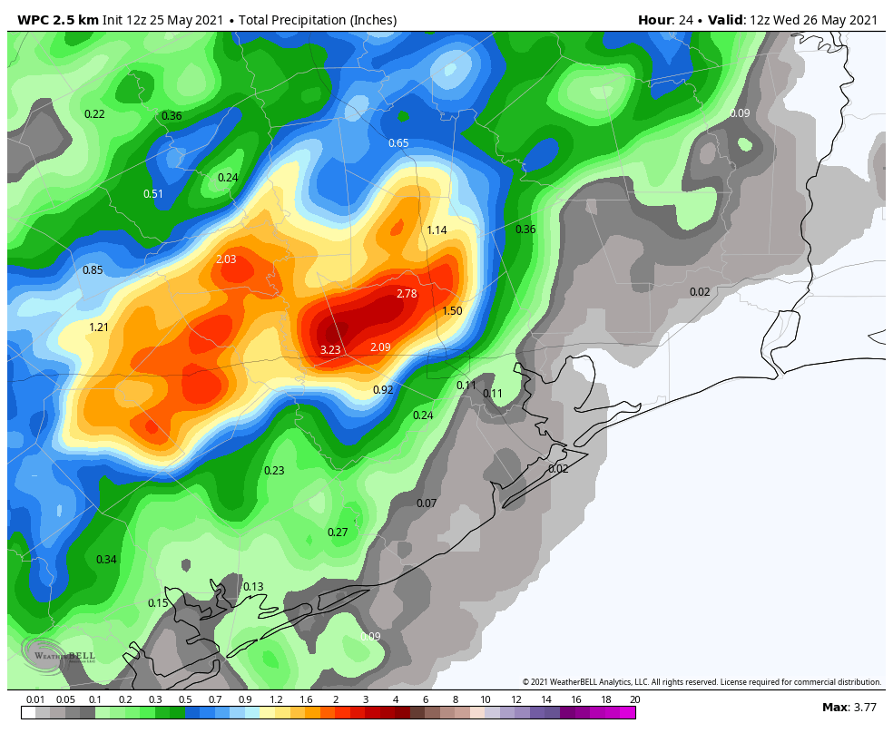
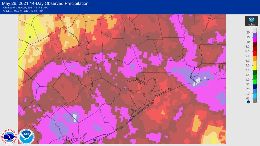
Now that we’re completely past the heavy rainfall, I want to take a look back at our totals since the beginning on May 16. From that day through Wednesday, most weather stations in the Houston region recorded at least a trace of rain, and often more than 1 inch a day. Here are the 14-day totals for the upper Texas coast. Areas in white show 20 inches of accumulation, Barney purple is more than 10 inches.
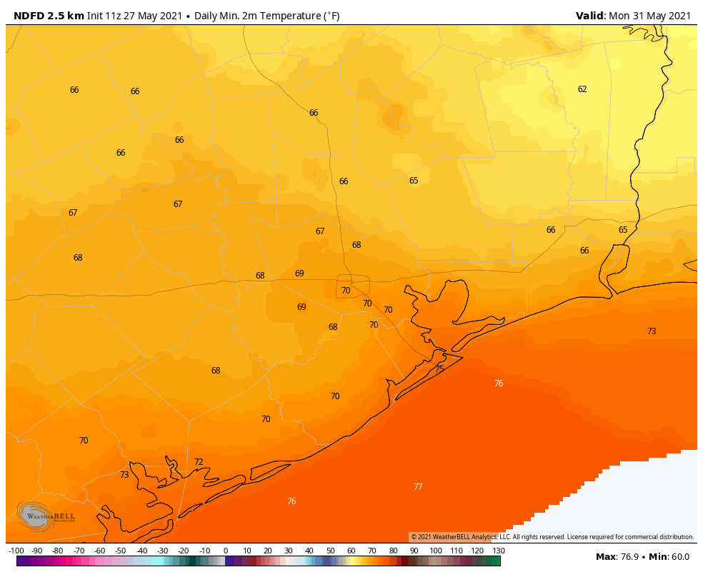
In addition to ending our region’s emerging drought, another effect of these rains has been cooler-than-normal temperatures for the month of May. Our monthly average temperature is running about 1 degree below normal, and our average high has been in the low 80s. This will soon change as June is around the corner, but it has been kind of nice.
Thursday
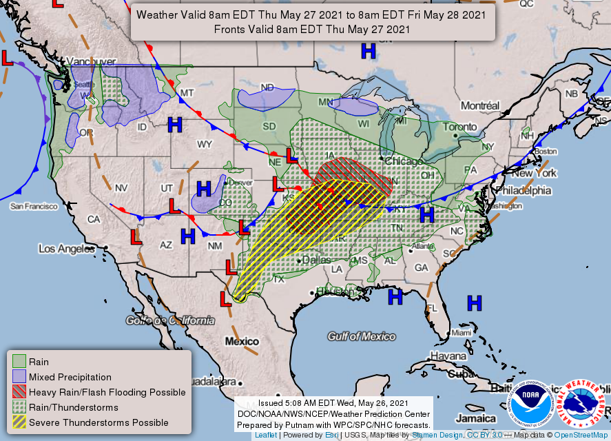
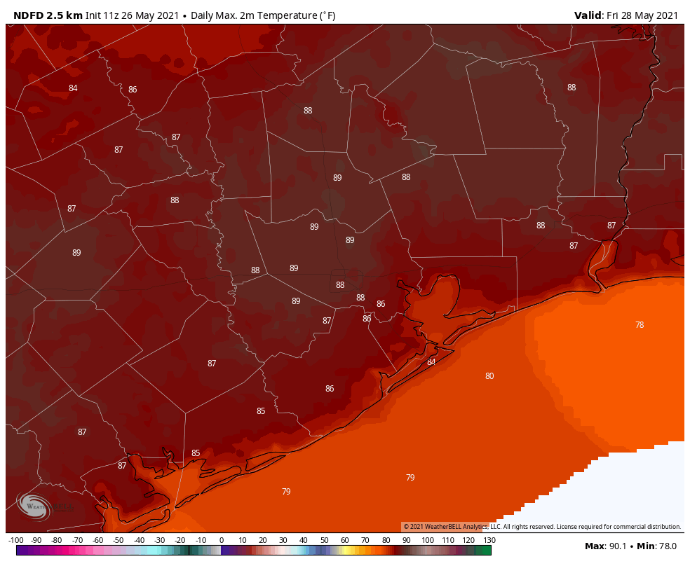
Houston enjoyed sunny weather on Wednesday, and that should continue today with a mix of sunshine and clouds. A few very scattered showers will be possible this afternoon as highs crank up into the upper 80s, but the vast majority of us will remain dry. Overnight temperatures will be muggy, with lows only dropping into the mid-70s.
Friday
Conditions should be similar on Friday, with continued partly sunny skies and highs pushing into the upper 80s. Sometime beginning Friday evening, or possibly not until the overnight hours into Saturday morning, rain chances will start to increase in response to an upper-level disturbance.
Saturday
Said rain chances will likely peak on Saturday morning, although we can’t be sure about timing. Overall accumulations should be higher north of Interstate 10, with 0.5 to 1 inches of rain, whereas most areas closer to the coast will likely see less than one-half inch. A few of these thunderstorms could be strong. After the rains I expect at least partly sunny skies Saturday afternoon as a (very) weak front pushes into Houston and off the coast. Highs will be in the mid-80s.
Sunday
Right now I have Sunday as the pick of the litter for the weekend. With a smidge of drier air, partly to mostly sunny skies, and highs in the mid-80s, this should be a really nice day for outdoor activities. Rain chances should be near zero.
Memorial Day and next week
Memorial Day should see a continuation of Sunday’s weather, albeit with perhaps a bit more humidity. For now I’d expect highs in the mid-80s, with a mix of sunshine and clouds. Some rain chances return on Tuesday, but for now our confidence in the forecast at that point is pretty low, and it may be Wednesday or Thursday before any rain really returns to the forecast. Most of next week will probably see highs in the upper 80s.