In brief: Good morning. We’re posting on Sunday because of the potential for flooding this week due to in influx of tropical moisture. We can’t say precisely where the heaviest rain will fall, or when, but there is the potential for some locations to see flash flooding. A Stage 2 flood alert is now in effect.
Big picture overview
A couple of factors will bring elevated rain chances into the Houston region this week, likely through Friday. In particular we have an absence of high pressure, a dying front moving in early this week, and perhaps most importantly a slug of tropical moisture associated with a low pressure system in the southwestern Gulf.
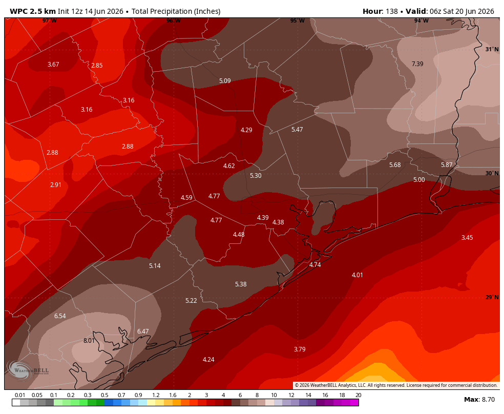
Although we don’t anticipate development of this tropical low into a depression or tropical storm, it nonetheless will bring plenty of rainfall potential with it this week, starting today. Because tropical moisture can produce high rainfall rates, and due to the potential for rain totals to stack up this week, we are issuing a Stage 2 flood alert beginning today, and likely lasting through Friday. Most areas will likely pick up 3 to 6 inches of rainfall, but there will almost certainly be higher isolated totals.
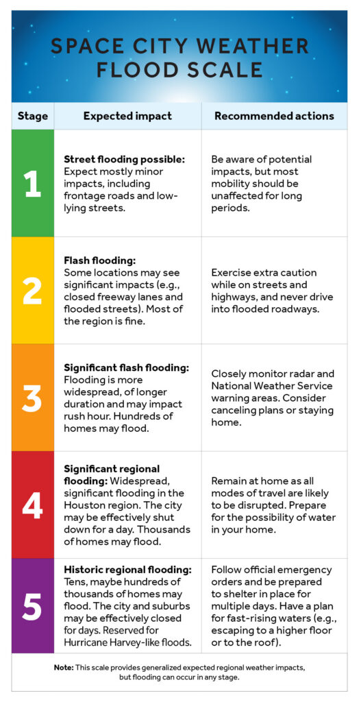
What does this mean? On our flood scale this suggests that some locations are likely to experience significant impacts this week, such as closed freeway lanes and flooded streets. Most of the region should be fine, most of the time, but there will be the potential for flash flooding during this period. It also means Matt and I will be monitoring the situation closely and updating as needed. If you’re visiting from out of town for the World Cup—we met some lovely Fußballfans from Germany on Saturday evening—you might want to check out our primer on what to expect in Houston during flooding events.
Sunday quick look
Houston is already seeing some sporadic showers and thunderstorms this morning along the West Loop, and this is likely to set the tone for today. We don’t expect to see anything too organized, but showers and thunderstorms will be possible, if not likely, through the afternoon or evening hours. If you’re gathering outdoors to watch soccer or otherwise enjoy a mid-June Sunday, have a means to find cover if a storm pops up. Highs today will be in the lower 90s, with partly sunny skies.
Remainder of the week
Looking ahead I think Houston will have its best chances for heavy rainfall from Monday evening through Tuesday. Wednesday and Thursday may see slightly reduced coverage but there is the possibility of increasing chances for heavy rainfall again in the Friday time frame. But I’m going to level with you: We are going to need to take this day by day. The big picture is clear, with ample potential for heavy rainfall across the Houston region this week. Yet we cannot say precisely where or when. Needless to say, we’ll be watching closely and share concrete information when we can.
