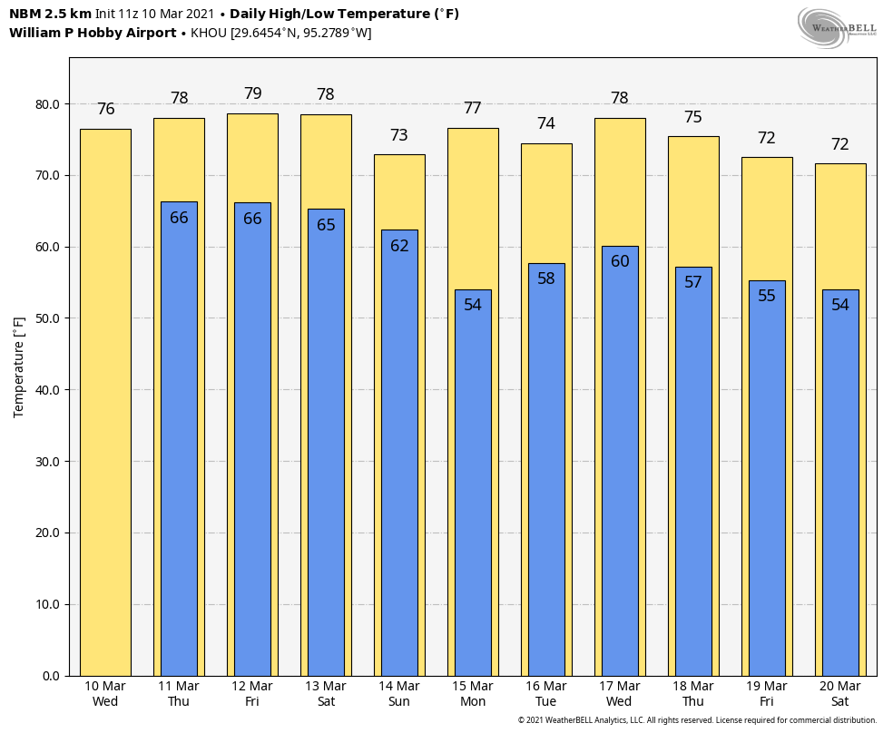
After several days of partly to mostly sunny skies, clouds are back on the menu for Houston, along with increasing levels of humidity. Temperatures across the region are unlikely to fall below the 60s for most areas until Sunday night, by which time a front should drop us back into more seasonable conditions.
Wednesday
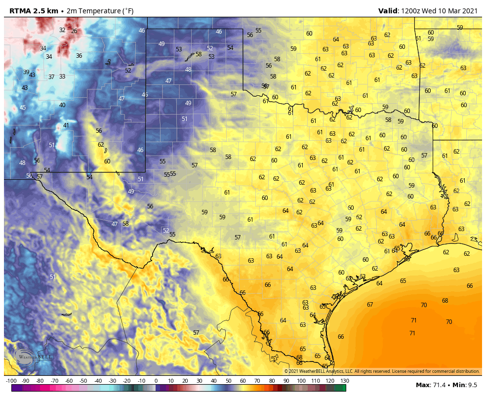
A much warmer, southerly flow is in place over the region, and as a result temperatures this morning have only fallen into the low- to mid-60s across the region. In response to fairly tight pressure gradients, we’ll see onshore winds kick up again this afternoon, with gusts reaching about 25 mph out of the southeast. This humid air will allow temperatures to reach into the upper 70s, to 80 degrees, despite cloudy skies. Overnight temperatures won’t fall below the mid- 60s.
Thursday
Our sensible weather won’t change much on Thursday, although slightly increased moisture levels may allow for some very scattered, very light rain showers to develop. Highs will again be near 80 degrees with mostly cloudy skies.
Friday and Saturday
The continued flow of warmer air will lead to more days with highs of around 80 degrees on Friday and Saturday, although we may see a little bit more sunshine during the afternoon hours. Nights will remain warm and sticky, with the possibility of fog developing along and near the coast as warmer air moves over cooler shelf waters.
Sunday
At some point on Sunday our next cold front should arrive in Houston. For most of the day, however, we may see gray skies and fairly decent rain chances, with accumulations perhaps on the order of 0.25 to 0.5 inches. There may be a few thunderstorms. Highs likely will be the 70s, with a cooler night as lows drop to around 50 degrees in Houston.
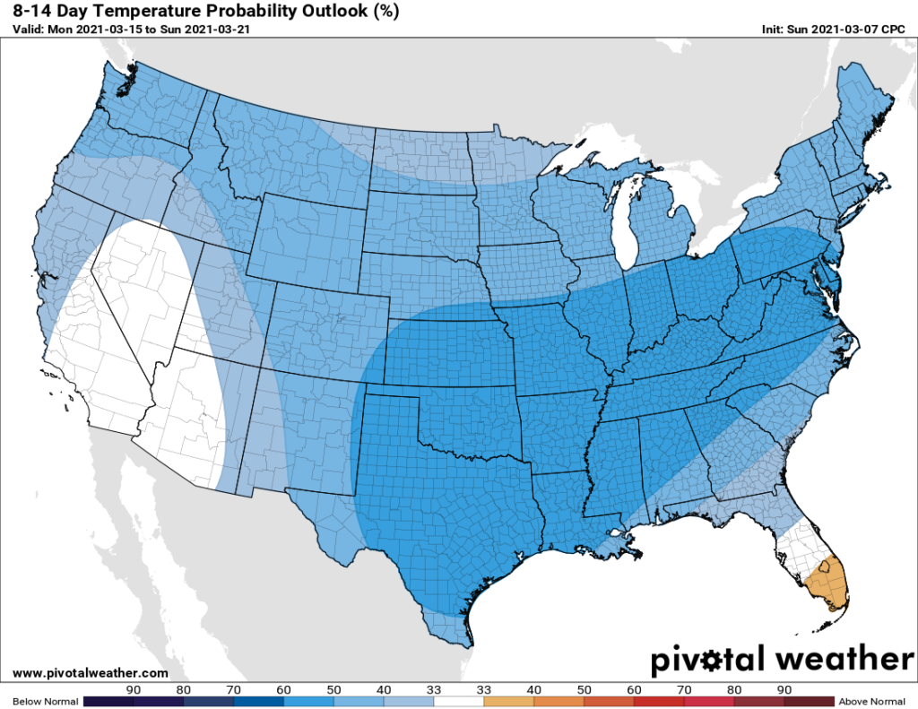
Next week
The first several days of next week look cooler, but the global models seem undecided about whether a second, reinforcing front will make it through by around Wednesday. As a result, we don’t really know whether highs will be in the 60s or 80s for the second half of next week.