As I type this, it is 5:55am and already beginning to get light outside. Some readers will surely disagree, but such early sunrises in June always play havoc with my sleep schedule. Fortunately (for me, at least), we have already passed the earliest sunrise of the year, and beginning Thursday the sunrise time for Houston will move from 6:20am to 6:21am, and grow about 20 seconds later every day.
Tuesday
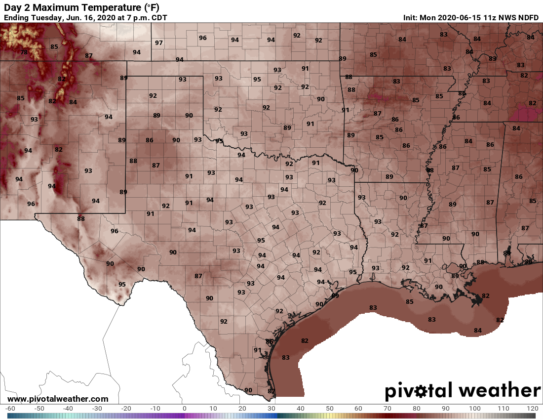
With decent atmospheric moisture levels in place, we may again see some scattered activity fire up on the radar this afternoon along the sea breeze. Most of the modeling indicates any storms should be fairly short-lived, with better chances to the east and northeast of Houston. The bottom line is that although rain chances are low today—probably around 20 percent or less—they are higher than most of the rest of the week. Highs should reach the low- to mid-90s with mostly sunny skies.
Wednesday, Thursday, and Friday
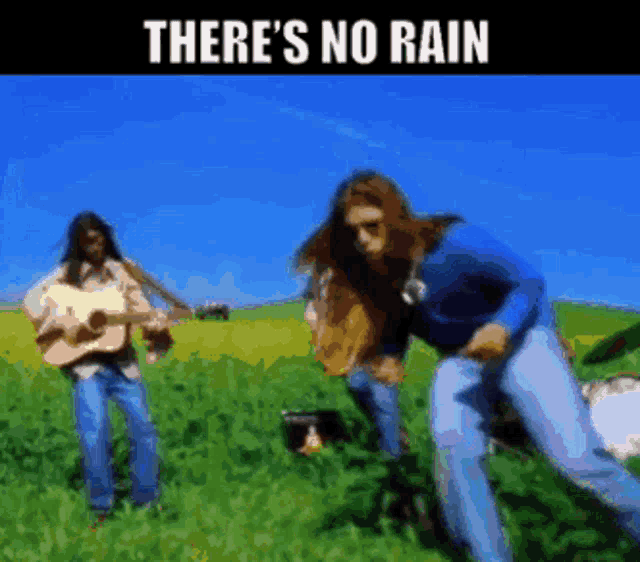
Not much to say about these days with mostly sunny skies, highs in the low- to mid-90s and lows in the 70s. High pressure will probably prevent any showers from popping up.
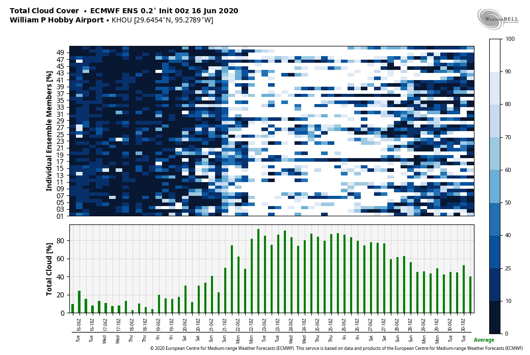
Saturday and Sunday
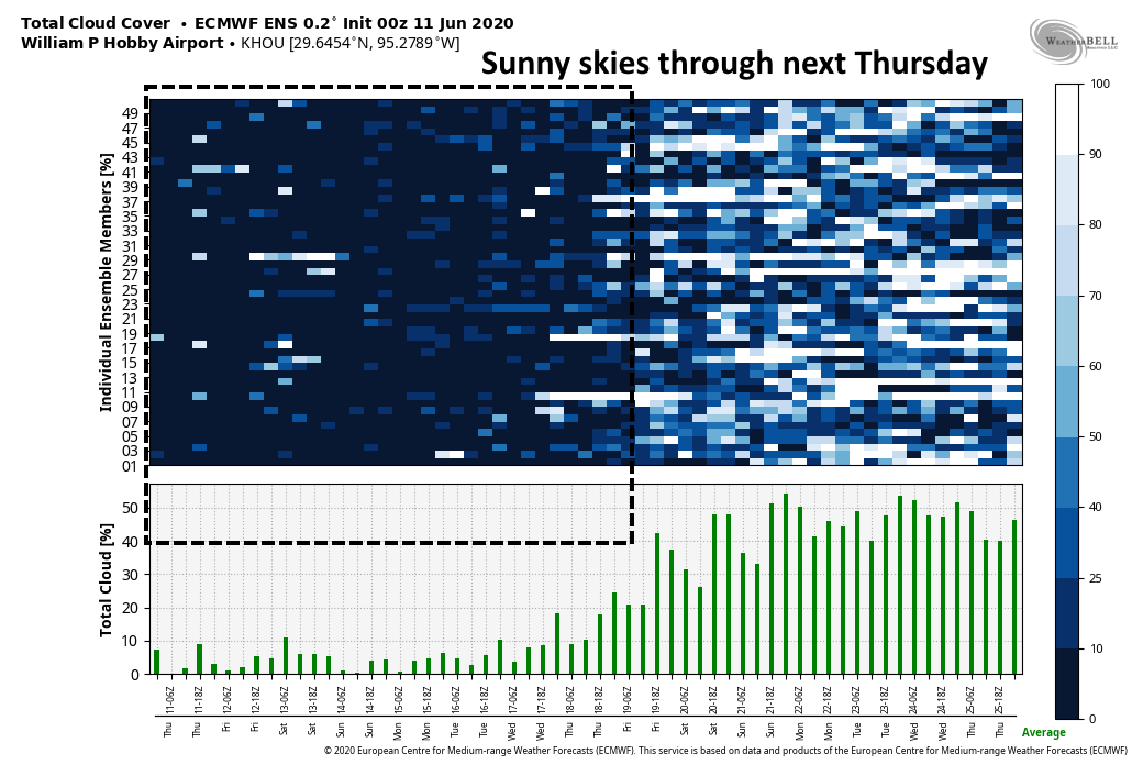
This pattern begins to change this weekend as the high pressure system over our region finally begins to weaken, allowing for the development of some scattered clouds on Saturday, and perhaps more widespread clouds on Sunday. This may also lead to some better rain chances in the 30 to 40 percent range, although accumulations looks modest. Highs will remain in the low 90s.
Next week
Both the European and GFS model are indicating the possibility of more rainfall next week, perhaps somewhere in the Tuesday through Thursday time frame. It’s possible that we may see some heavy rainfall, but the details are sketchy at this point.