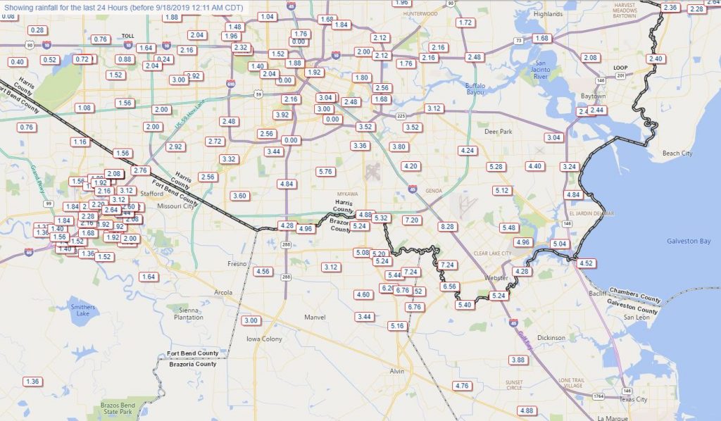
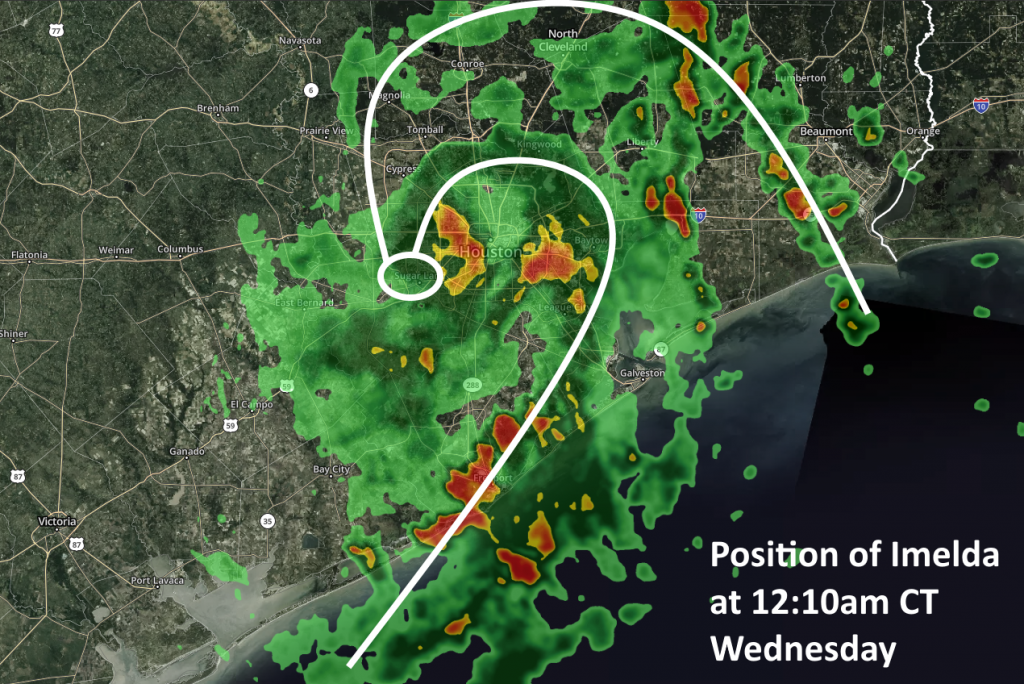
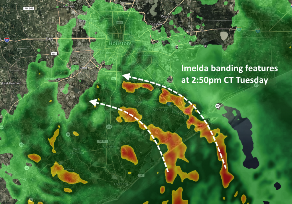
Good morning. For most of the city of Houston and points north and west, overnight rainfall caused few problems and has really only served to saturate soils a bit. Imelda’s dissipation has allowed for one main band to focus this morning well to our south into Matagorda County, which then arcs offshore back inland east of Galveston and Bolivar, aimed primarily at the Beaumont area.
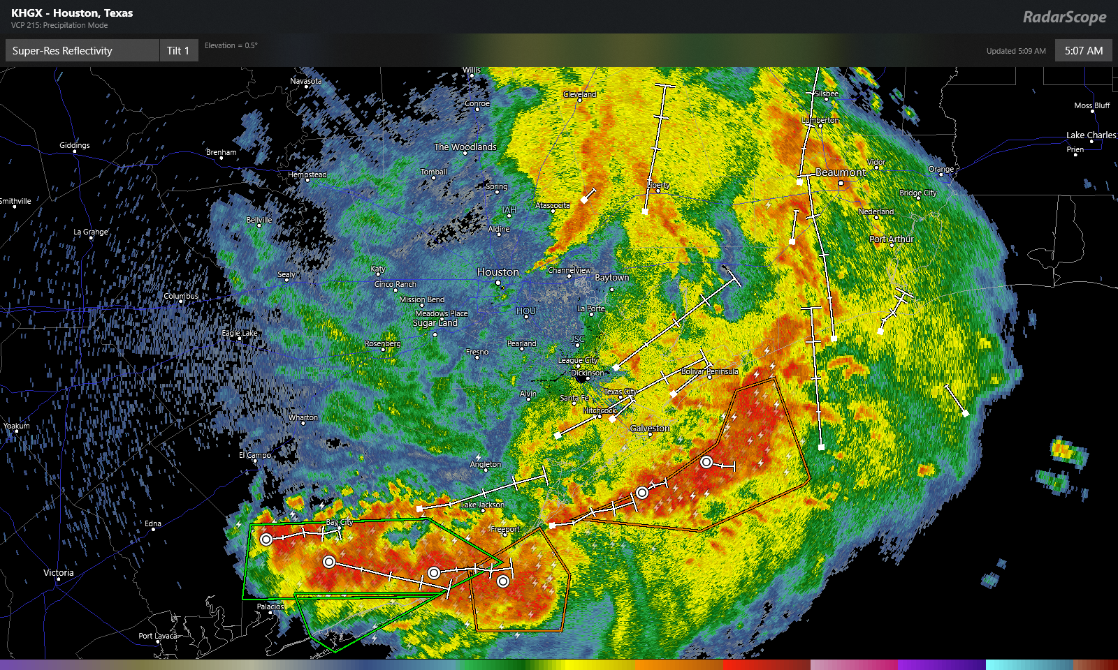
The radar snapshot above from just after 5 AM shows limited heavy rain around Houston, with one narrow band extending from northeast of downtown into Liberty County.
Focusing a little closer on Matagorda County for a moment: This band means business.
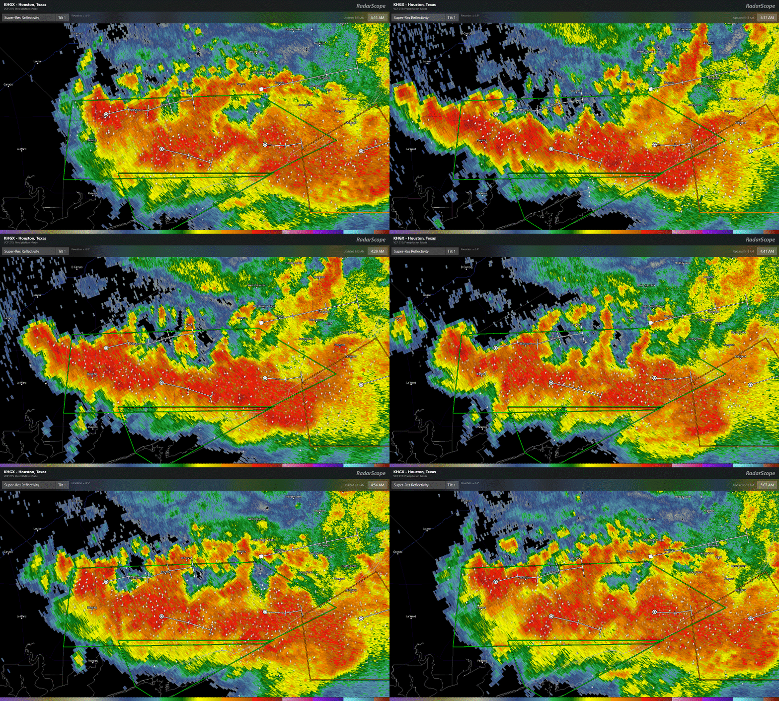
Rainfall in the hour prior to my writing this post was over 5 inches (!) in parts of the county. A gauge near Sargent has received over 18 inches of rain in the last 24 hours. Those are extreme rainfall rates that will quickly cause flash flooding in that area. Travel across much of Matagorda County is not advised this morning, and it will likely get a bit worse before it gets better. These beefier rainfall rates will likely push into southern Brazoria County as well, so folks from Lake Jackson and Freeport through Surfside will probably want to use caution this morning as well.
Rest of today
So the million dollar question is: Where is this going? Saving the meteorology lesson for another day, we often see blow ups like this in tropical systems late at night and in the morning. Over the next few hours, this will probably yield areas of heavy rainfall across Matagorda, Brazoria, and Galveston Counties. Given that many of these locations have seen 4 to 9 inches since yesterday, it won’t take much for flash flooding to begin if rainfall rates are intense enough. Rainfall may begin to taper off this afternoon or shift more to the east toward Beaumont or Port Arthur. We do expect some new showers and thunderstorms to develop in and around Houston by later this afternoon. More on that in a moment.
Bottom line: What should you do today? Be cautious, but most of us can go about most of our day as usual (unless you’re down in southern Brazoria and Matagorda Counties as noted above). If you live southeast of Houston, be extra vigilant in case rain rates escalate a bit this morning. Eric will update you on the progress of that a bit later. In Houston and points north and west, I think most daily activities will be fine through 3 to 4 PM, though it will be raining at times. After 3 to 4 PM, things could begin to go downhill a bit. Given all this, if you work daytime shifts and can work your way home a little earlier than usual today, that would not be the worst thing in the world.
Tonight
All along, it appeared tonight would be the “main event” so to speak for the Houston area. Look for storms to begin to show up around 3 to 4 PM or so in and around Houston. Some of the storms will be heavy with impressive rainfall rates. As we work through the evening, I think the general trend will allow for those storms to slowly lift north and east, while becoming more numerous. For Houston, the hope is that the storms will lift out quickly enough to limit significant problems. We would then see the heaviest rain tonight up into Liberty County or point northeast from there. There is still a good deal of uncertainty regarding tonight’s forecast, so be sure to check back with us later today for an update when we should hopefully know more. It could get a bit rough this evening, but we’re hoping for the best possible outcome right now.
We still see rain becoming more scattered tomorrow and Friday, with a mostly dry weekend expected. Eric has you covered a little later this morning.

