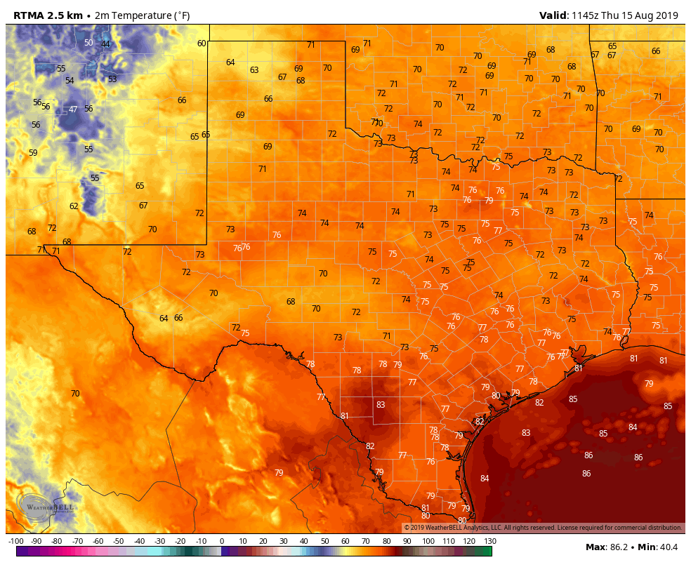
Thursday broke the streak. We fell one degree short of 100° officially, after 7 straight days of 101°+ in Houston. We don’t think we will hit 100° again for a bit, though I suppose one could sneak in here at some point over the next few days under the right setup. Regardless of all that, it continues to look hot and unpleasant for the foreseeable future, but at least we can mention a chance of rain almost every day.
Today
Radar this morning is already showing some showers and storms, mainly along the coast or east of I-45.
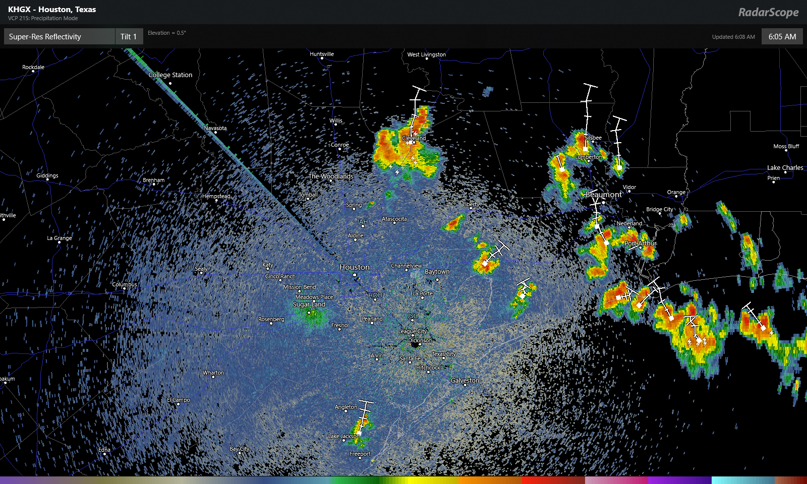
The storms were slowly drifting to the north. These should gradually fade this morning, and we’ll expect sun and clouds with high temperatures aiming for the upper-90s once more. Air quality today will be fairly poor, so if you fall into “sensitive groups” on days with high ozone levels, you will want to take it easy and stay indoors when you can. A few additional showers are possible this afternoon with daytime heating, but like yesterday, consider yourself lucky if you see one.
Weekend
Both Saturday and Sunday look pretty standard for what we normally expect in the back half of August. Look for a mix of sun and clouds on both days. Saturday will see isolated to scattered showers or storms in the afternoon. Sunday will probably see slightly fewer showers. Rain chances will be highest as you go to the east of Houston. So Baytown likely has higher odds of seeing a shower than Katy this weekend.
High temperatures will likely top off in the mid- to upper-90s, while morning lows will remain steamy at around 80 degrees.


