We’ll be starting off the Christmas period with a bang today and tomorrow before some clouds build in for the holiday, followed by a potentially active period of weather later next week. Let’s dive into the details.
Today & Saturday
As we officially begin winter at 4:23 PM today, the season kicks off on a beautiful note. We had lots of wind yesterday, but most of that is gone now, and we’ll see sunshine with mid-60s this afternoon. A cool, crisp night in the low- to mid-40s will follow tonight. Look for essentially a repeat of Friday on Saturday, along with several degrees of added temperature. We’ll do mid-70s on Saturday under sunny skies.
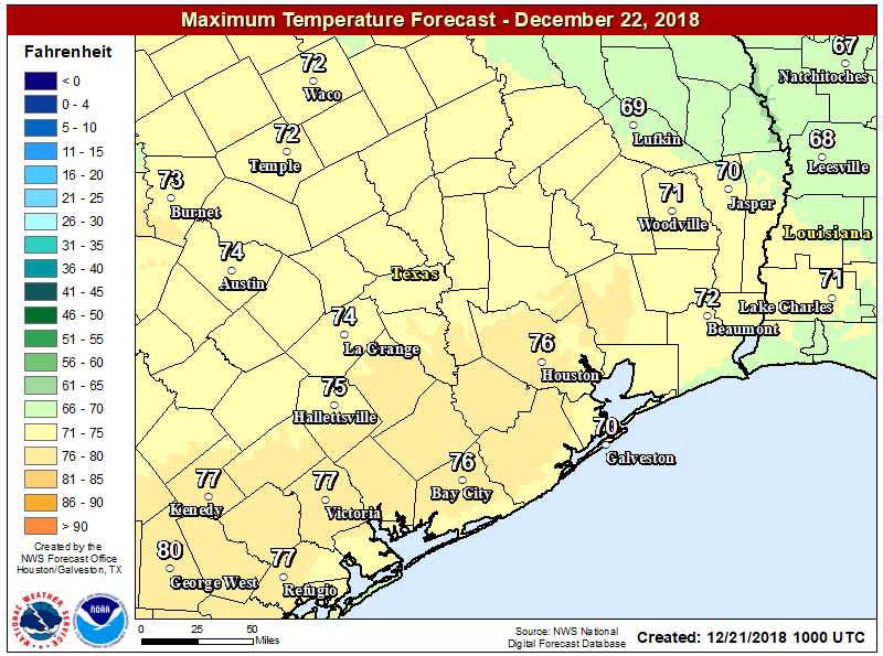
It should be a stunner.
Sunday
A weak cold front will approach the area on Sunday morning and afternoon. After starting the day in the milder mid-50s, we should see our afternoon capped in the mid- or upper-60s. Sunday will probably have a few more clouds at times, though I think we will still see majority sunshine. A stray shower can’t be ruled out with the front, but most folks should stay dry. Some patchy fog is possible around Galveston Bay or on Galveston Island Sunday morning.