Houston to see continued “summer lite” conditions for awhile

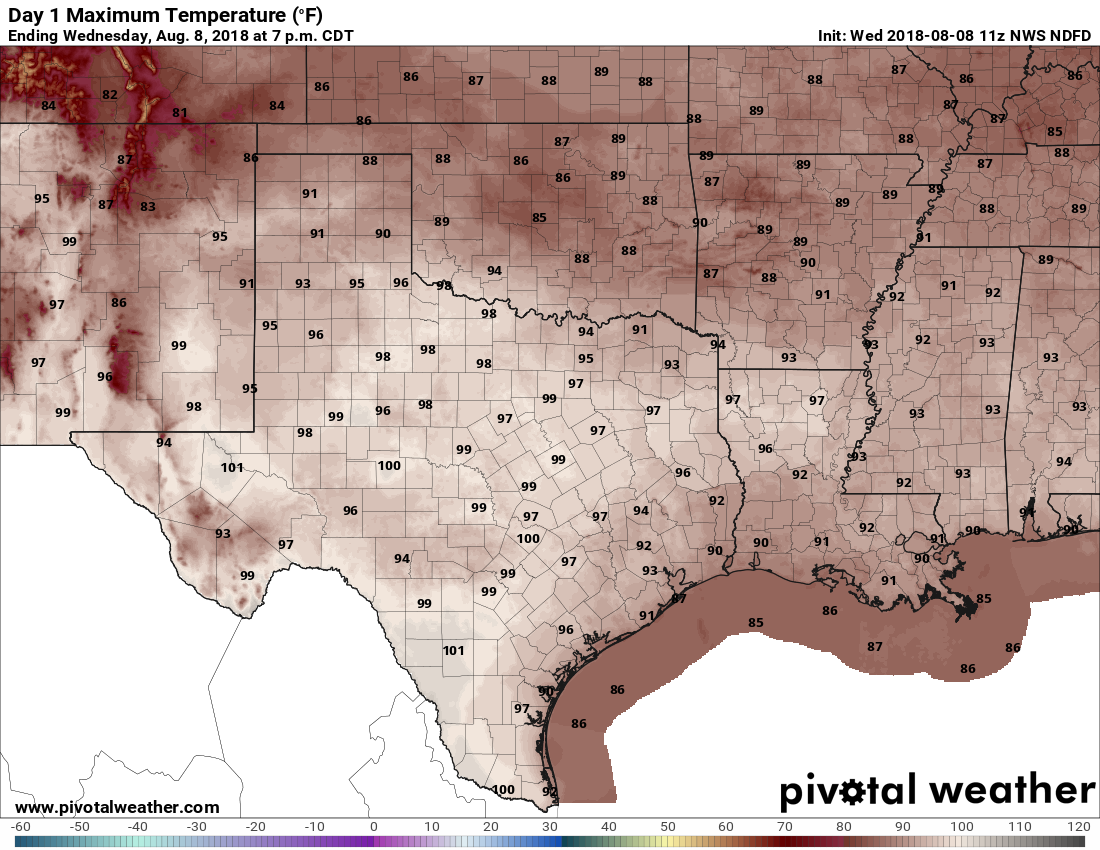
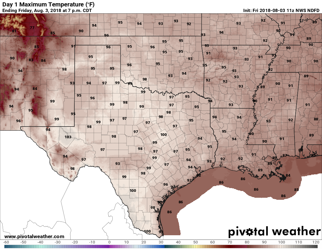
Houston has settled into a typical late-summer like pattern of very warm days and it’s going to take a little while to break out of this I am afraid. The average high temperature this month has been 94 degrees, and with the humidity that has pushed the heat index to near 100 degrees, or above. Not pleasant.

Wednesday

Warm and humid conditions are going to continue today, with highs likely in the low 90s. We can’t rule out a few scattered showers, but for the most part I’d anticipate partly sunny skies.

Thursday and Friday

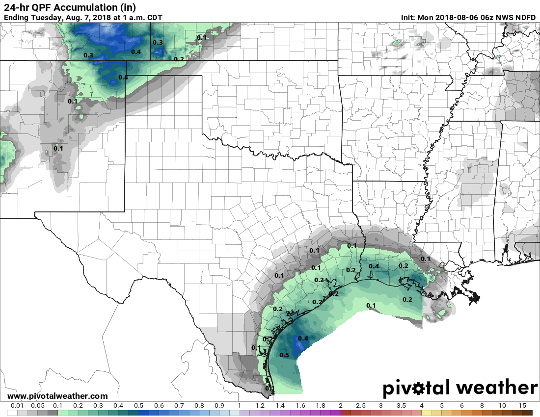
As high pressure moves off to the west, and some moisture moves in from the Gulf of Mexico, we could see a slight increase in rain chances toward the end of the week, especially on Friday. I still expect showers to be of a mostly scattered nature, and there should be no problems in terms of accumulations. Highs will likely remain in the low 90s, with warm, humid nights.

Most of the Houston area should see a few tenths of an inch from now through next Monday. (Weather Bell)

Saturday and Sunday

This weekend will see a cold front being pulled down toward Texas. Right now most forecast models suggest the front will stall out north of Houston late Saturday or Sunday. If that happens we can expect highs of around 90 degrees and a continued chance of scattered showers through the weekend, but essentially summer lite. (If the front gets closer to Houston we might see an inch or more of rain, but this possibility seems unlikely at this time).

Next week

Houston will remain in a summer-lite pattern to begin next week, with highs around 90, or in the low 90s. Rain chances will be fairly low as some high pressure builds back over the area.

I’m still watching for the possibility of a cold front, but right now the global models mostly stall the system to the northwest of the Houston metro area, reserving the significantly cooler air for areas west of Interstate 35. It’s still hard to have much confidence in the forecast 7 or 8 days out, so I’d still give the front a moderate (maybe 30 percent) chance of happening. If not we’re going to continue to see highs of around 90 degrees, with not too much of a moderation in overnight lows.

Posted at 6:55am CT on Wednesday by Eric

September’s site sponsor: Meyerland Animal Clinic

A new month means a new sponsor for Space City Weather, and I’m pleased to announce that Meyerland Animal Clinic, P.A. has returned to again support the site in September.

(Meyerland Animal Clinic, P.A.)


Thanks to their generous support we can provide all of our weather content for free, and without advertisement, for the entire month of September. Here’s a little bit more about their business:

Meyerland Animal Clinic has been serving Bellaire, Meyerland and West Houston since 1976. A full service hospital, we are here to help support the community and care for your furry family members. Aside from state-of-the-art medical care, we offer boarding and day care services (Yes, even in inclement weather.) Please contact our office if we can be of service to you and your pets.

The advantage of the sponsorship model is that we are under no pressure to generate web traffic for the sake of web traffic—so there’s no hype, no click bait and no nonsense. All we’ll do is continue to make the best possible forecasts we can make. So if you appreciate that, and have furry friends, please check them out!

Labor Day is over, so the cold front watch begins in earnest

Labor Day may have come and gone, but that doesn’t mean we’re going to see an immediate end of summer-like weather. As long-time Houston residents know, the first half of September can often feel almost as warm as August. That’s why, when we get to this point we’re often pretty desperate for the first real cold front of the season, and this year is no different.

Probably the most simple way to define the first “real” cold front is when temperatures fall to 65 degrees, or lower, on or after Sept. 1. This generally weeds out rain-cooled days and anything that isn’t a genuine front. When we do this for Houston, the following pattern emerges for the first fall cold front, with an average date of Sept. 18.

Chart of Houston first 65°F minimum temperature on or after September 1st. (Brian Brettschneider)

See full post

Strong, scattered storms likely for Labor Day afternoon

It may have been difficult to discern, but Friday and Saturday morning were a bit cooler and drier for Houston, especially northern parts of the region. Well, forget about that now, moisture began returning on Saturday to raise dew points and storm chances for the Labor Day Holiday.

Houston should see more of the same locally heavy storms that developed on Sunday across the region later today, although there may be some increase in coverage. As the storms should stream through the region at a fairly decent clip I don’t anticipate any flooding, but some areas could pick up 2 to 3 inches pretty quickly (while a few miles away may see dark clouds, but no rain).

Precipitable water levels will be about 140 percent of normal later today. (Weather Bell)

See full post