After a couple of modestly drier days, Houston should now return to a wetter pattern over the next week or so as high pressure moves off and the upper-level pattern in the atmosphere becomes more conducive to rainfall. Today, we’ll also discuss some potential tropical activity in the Gulf of Mexico, as well as hints of the region’s first real cold front about eight to 10 days from now.
Thursday
The radar is clear this morning, but with atmospheric moisture levels at reasonably high levels we should see at least some scattered showers this afternoon as temperatures move into the upper 80s. Skies should be partly sunny for what will feel a lot like yet another humid, late summer day.
Friday, Saturday, and Sunday
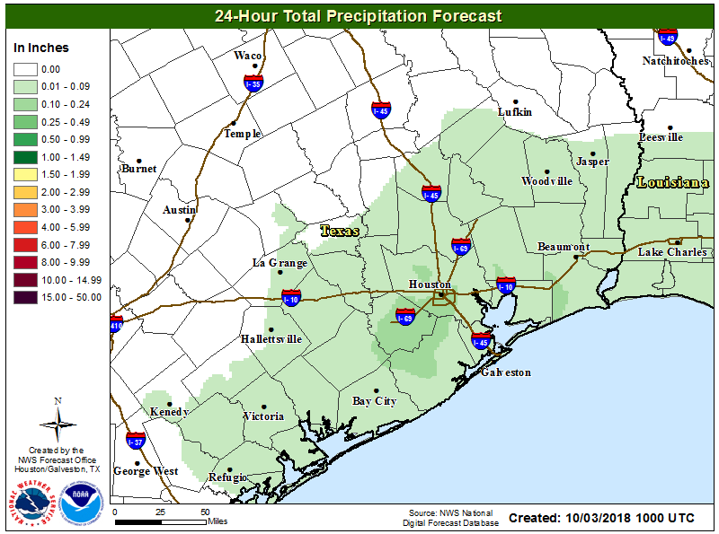
The weather for this weekend looks unsettled, but not overly stormy. While atmospheric moisture levels will be fairly high, there is no strong forcing for rainfall. So while there will be a healthy chance of rainfall each day (we think 30-50 percent for inland areas north of Interstate 10, and 40 to 60 percent for areas closer to the coast) we don’t expect particularly high accumulations.
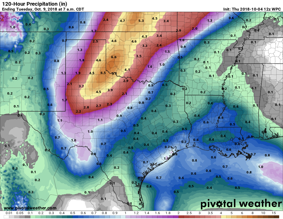
Most of the area will probably see between 0.5 to 1.0 inches of rainfall, with the usual outliers in terms of higher localized amounts. High temperatures will probably range from the mid- to upper-80s depending upon the extent of cloud cover (we’ll see some sunshine), and nights will be sticky, and in the mid-70s.