We’ve got one more warm day on tap before cooling off to more seasonable type weather in Houston. That will make four in a row for our area. Let’s explore the details.
Today and Tonight
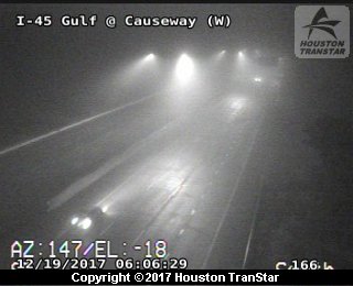
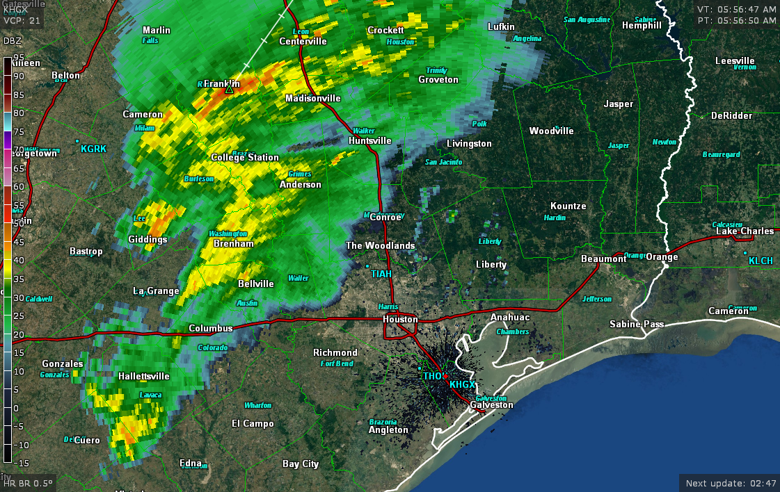
A mix of a low overcast and some patchy fog around the area this morning. This isn’t a repeat of earlier this week though with dense fog prevalent. That said, we do have some sprinkles or light rain around so roads could be a bit wet in a few spots this morning.
Otherwise, expect a mostly quiet Friday. High temps today will be near 80° in Houston (it’s already 73° as of 7:30 AM). We could see that light rain or drizzle continue. There is a slight chance for a shower I suppose, but it would be most likely up toward College Station or out toward Brenham.
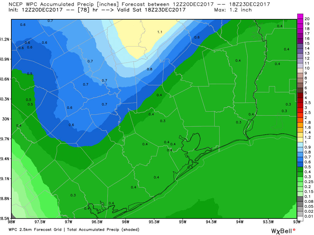
The main rainfall story develops tonight as a cold front sweeps through. Expect showers to become more likely toward sunset. We could see a thunderstorm embedded also, but that would probably be the exception rather than the rule. Rain won’t be terribly heavy and most places should see less than a half-inch, possibly less than a quarter-inch.
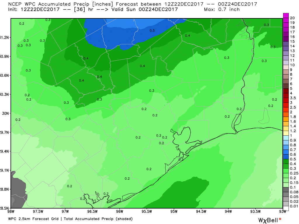
Showers continue into the overnight hours before gradually ending from northwest to southeast early Saturday morning.
Saturday
We look mostly good on Saturday with clearing likely taking place pretty fast in the morning. We’ll have a mostly sunny afternoon with just a few high clouds around. You’ll notice it’s a quite a bit colder, with morning lows in the upper-40s and afternoon highs sneaking up to the middle or upper-50s. Saturday night will be chilly with lows in the low-40s.
(Space City Weather is brought to you this month by the Law Office of Murray Newman)