Quick note: Many of you have reached out to us looking for book recommendations about weather. Well, we listened. Look for a post later this morning that has a handful of recommendations we hope you enjoy.
On to the weather. After some scattered showers and storms on Thursday, things will begin to calm down today, setting up a warm but pleasant weekend. A couple interesting notes about rainfall, courtesy of the NWS Houston office: First, officially, it’s the third wettest year on record (back to 1889) already for Houston. We only need 0.82″ of rain between now and New Year’s Eve to set a new record for wettest year in Houston. On the flip side, if Galveston manages to not receive 0.03″ of rain before tomorrow night, they’ll set a new record for driest September on record (back to 1872). It’s been a weird year.
Weekend
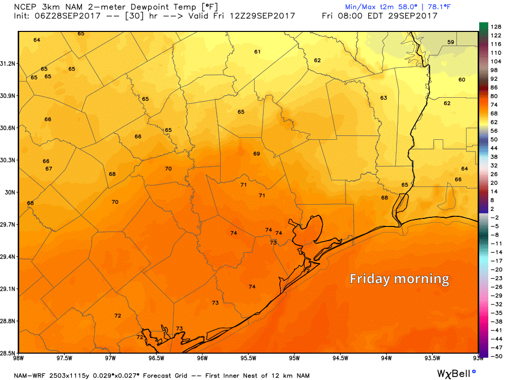
So we’ll keep mentioning a chance of a shower or thunderstorm today, but I think most of us will stay dry. Precipitable water, which is a good measure of how much moisture is available in the atmosphere, will drop off through the day today as we advect in drier air.
In English, that means chances of showers and thunderstorms should diminish today. It will not quite get to zero south of I-10, and I think the majority of us will stay dry. We’ll gradually usher in even drier air tonight, leading to comfortable dewpoints and low humidity on Saturday and completely shutting off rain chances. The weekend should be dry for the entire region.
Though the humidity will lower, the temperatures will stay relatively warm for the turn of the calendar to October, and we should see continued high temperatures in the upper 80s, with morning lows in the slightly more pleasant upper 60s.