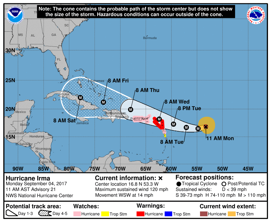
A cold front remains on track to reach Houston on Wednesday, arriving a couple of weeks early to the region, and bringing some genuinely fall-like weather to the upper Texas coast. I’ll also discuss Hurricane Irma, because the storm has reached Category 5 status and almost certainly will have some devastating effects in the United States. We remain pretty confident the storm won’t have major effects for Texas, however.
Tuesday
We’ll still be pretty warm today, with highs in the low 90s across Houston, but for early September this is still decent weather. Houston could see some scattered showers later this afternoon, but for the most part we should be rain-free.
Wednesday
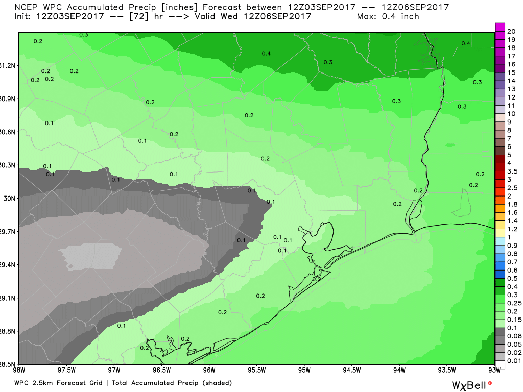
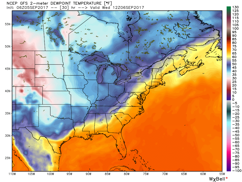
Cold front day! It’s almost like a holiday here in Houston. Moisture levels will increase a bit before the front moves through on Wednesday, most likely during the late morning or early afternoon hours. Some scattered showers are possible with the front—a few isolated areas could see as much as half an inch of rain—but for the most part this should be a breezy passage rather than one with thunder and lightning. Humidity should fall off a cliff after the front moves through, making for a pleasant evening.
Thursday through Sunday
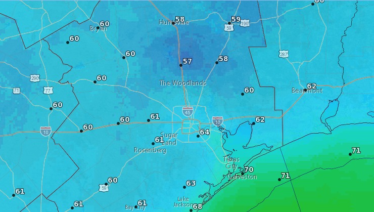
We’ll have some great September weather after the front comes through, with highs generally in the mid- to upper-80s, overnight lows in the 60s (perhaps upper 50s for some inland areas and closer to 70 degrees along the coast). The drier air and full sunshine will feel fine.