Yesterday I was driving down Interstate 45 near Clear Lake. Within the span of two exits I went from full sunshine, to light rain, to some of the biggest rain drops I have ever seen. It was as if five of these raindrops hit my windshield, and it was covered with rain. And you know what? This is how summer goes in Houston when there’s not smothering high pressure to keep the tropical rain showers away.
Thursday and Friday
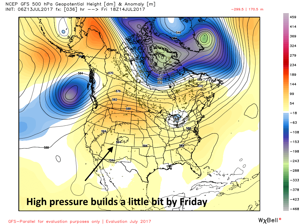
Houston will lie near the edge of a high pressure system to end the work week, so we’re likely to see some decrease in shower activity. However, I still expect some isolated to scattered activity, with the potential for some localized heavy rain. With mostly sunny skies, expect high temperatures in the mid-90s.