It may have been difficult to discern, but Friday and Saturday morning were a bit cooler and drier for Houston, especially northern parts of the region. Well, forget about that now, moisture began returning on Saturday to raise dew points and storm chances for the Labor Day Holiday.
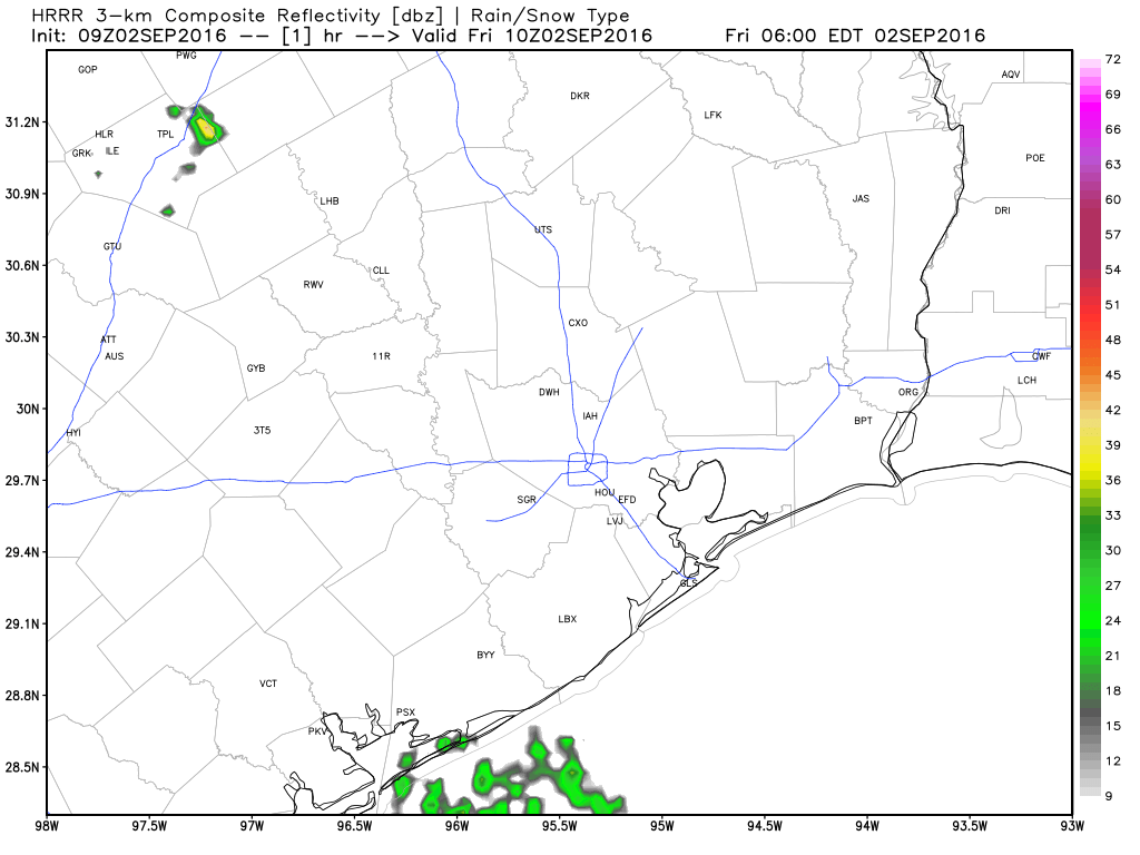
Houston should see more of the same locally heavy storms that developed on Sunday across the region later today, although there may be some increase in coverage. As the storms should stream through the region at a fairly decent clip I don’t anticipate any flooding, but some areas could pick up 2 to 3 inches pretty quickly (while a few miles away may see dark clouds, but no rain).