Scattered thunderstorms possible today, and more concerns later this week in Houston

Good morning. It’s pleasantly cool for this late April morning, with temperatures around 60 degrees for most of the Houston area. In contrast to our lovely, sunny Saturday however, clouds will return to the area today and that possibly could mean some rain.

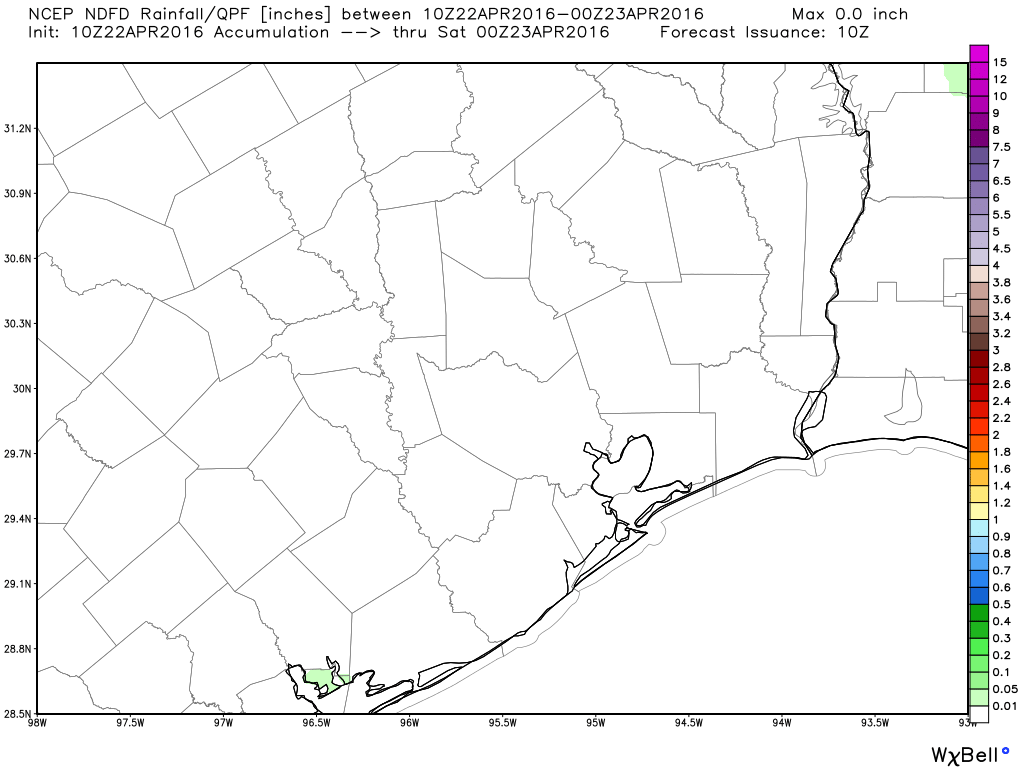
Scattered, light rain is possible later this morning, with spotty heavier rain and thunderstorms potentially this afternoon. (We could also see nothing but gray skies.) Additionally, although the probability of this is low, I’m not ready to rule out some isolated, locally heavy rainfall. If that seems likely I will update later today.

After that Monday and Tuesday look fairly warm, low- to mid-80s, with partly sunny skies. Nothing to worry about then but the AC bills. However there are two things to look out for in the coming week.

TUESDAY NIGHT/WEDNESDAY

Forecasters have been warning for several days about ideal conditions for severe weather, including tornadoes, for northern Texas and Oklahoma during the day Tuesday. This still seems likely and will very likely be a major weather story this week.

Area of severe storm likelihood on Tuesday. (NOAA)

See full post

Site Update: Space City Weather seeks a sponsor, and more

It’s been quite a week for Space City Weather, which Matt and I have now been publishing for nearly six months. Without any advertising we’ve grown to more than 100,000 monthly page views, have nearly 21,000 “likes” on Facebook, and are continuing to see significant growth. This is due entirely to word of mouth from readers who share the site on Facebook, spread the word on Twitter and submit posts and upvote on reddit. We deeply appreciate this support.

To really cover weather in the greater Houston area the right way, the site requires a lot of work, especially when active weather occurs (I worked about 18 hours on Monday, for example). Matt and I are developing plans for even more coverage, especially with hurricane season looming. At the same time, because this is essentially a hobby that takes time away from our families, Matt and I need to find a way to compensate for our time and server expenses. We have no intention of charging users to access the site—our foremost purpose is to provide a service, and making blocking access goes entirely against this—but we do think the site has value to a sponsor. We believe readers value the site, and would value the sponsor bringing it to them.

So we are seeking a monthly sponsor. For more details, go here.

We also will continue to appreciate you sharing the site on social media, and telling friends and family about us. I’d also like to remind you that, given Facebook’s algorithms, the surest way to not miss a new report on Space City Weather is to enter your e-mail in the “subscribe via e-mail” box on the right-hand side of this page. You only get e-mails when we make new posts. That’s it.

So thank you for all your support, and here’s to better weather ahead!

A rain-free Friday for Houston? Let’s try it

The rain is over. After days of being tortured by Mother Nature (and, you know, tigers), we can at least turn the faucet off for a bit, as drier weather builds into Southeast Texas for the weekend.

TODAY

As the upper level storm partially responsible for repeated rains finally begins to pick up some speed as it exits the Mid-Continent, that will allow for high pressure to settle in over our region for a couple days. That means we should have a good bit of sunshine today. Temperatures will pop into the low to mid 80s.

No complaints about today's rainfall forecast for Southeast Texas. (Weather Bell)
No complaints about today’s rainfall forecast for Southeast Texas. (Weather Bell)

See full post

Wettest April on record for Houston, but now drier for a few days at least

Well, thank goodness that’s over.

No, the flooding misery for hundreds of thousands of Houston residents hasn’t ended, from the western edges of Harris County (see latest information on Addicks Reservoir), to the northeast around the San Jacinto River, and the southwest near Wharton (which got less than 5 inches of rain, but is feeling the effects of upstream Colorado River flooding).

At least swollen bayous and neighborhoods will no longer be insulted by additional downpours for a few days.

This event has rightly been characterized as the region’s most severe rainfall event since Tropical Storm Allison, and correctly so. It rained a heck of a lot across southeast Texas during the last five days. Here’s a map of satellite rainfall estimates through 1pm CT Thursday.

Rainfall totals for the five days preceding Thursday at 1pm CT. (NOAA)

See full post