Houston’s summer marches on

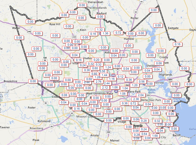
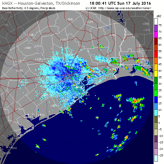
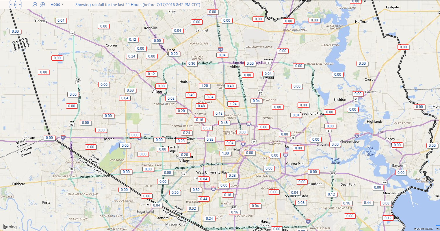
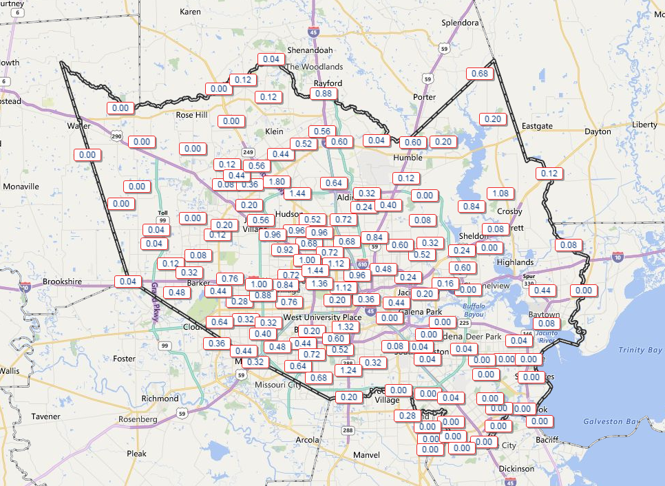
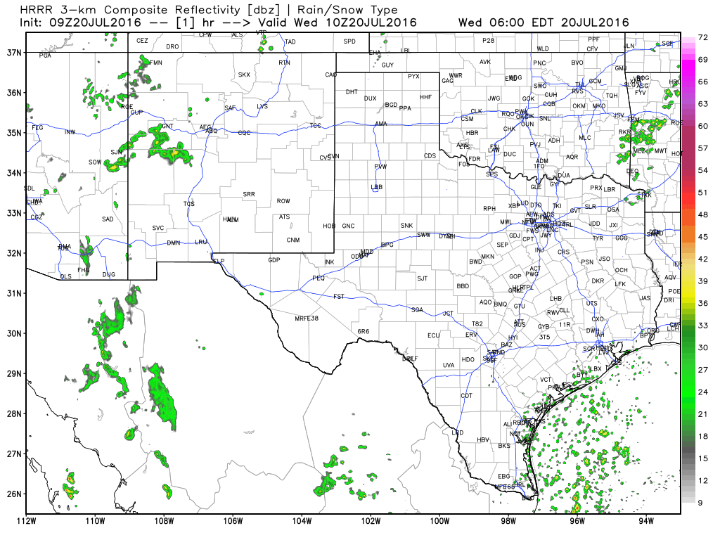
Houston’s weather has been a bit noisy this week. After another busy day Tuesday (a bit surprising to me admittedly), today should see the volume turn down a bit. Showers and storms moving through the region dumped 1-2″ on some folks, while others, again, saw nothing but some clouds. Again, welcome to Houston in summer.

Tuesday's rain totals; many places saw at least some rain, though not everyone. (Harris County Flood Control)
Tuesday’s rain totals; many places saw at least some rain, though not everyone. (Harris County Flood Control)

Speaking of, this evening, Braniff is going to have more on some of the “why” behind our summertime storms!

TODAY

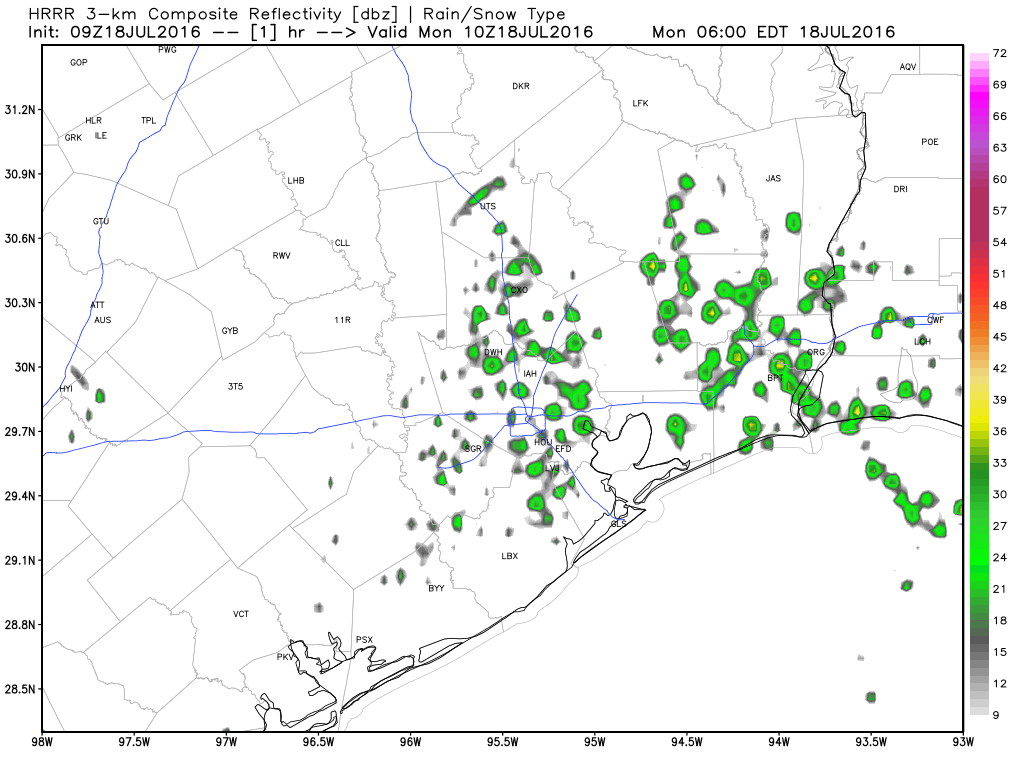
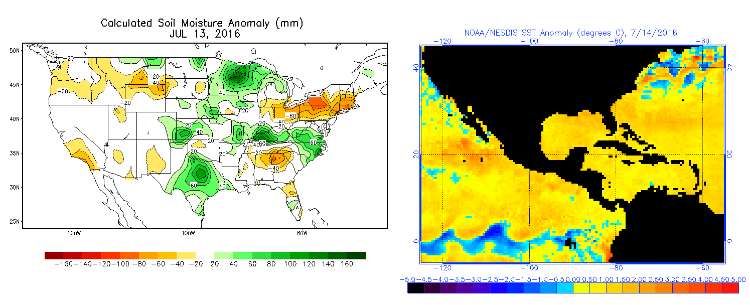
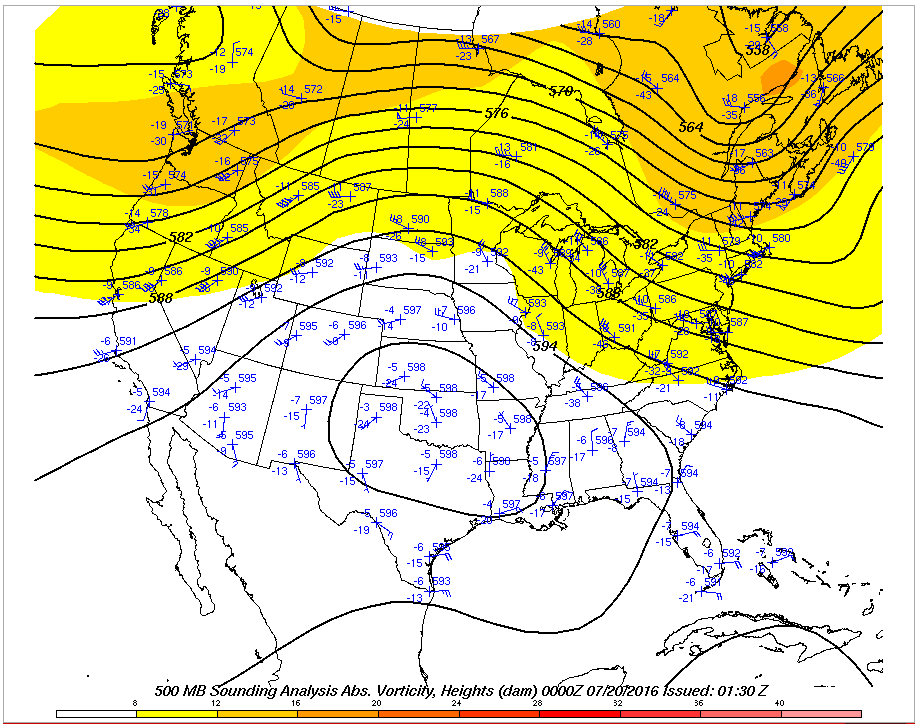
Given the action of the last few days, I feel obligated to at least include a chance of showers and a thunderstorm today. That said, weather radar is much less active this morning than it has been the last couple days. The weather models also insist that activity will be less than yesterday. This does have merit, as the heat dome over the Plains has expanded in the last 24 hours, meaning slightly drier air should be taking hold.

Upper air analysis map from last evening shows a more amplified ridge and slightly warmer temperatures aloft, meaning support for storms has diminished some. (Ohio State)

Still, it would be wise to be cautious with the forecast today. We’ll say, “Probably not many showers, but there should still be a few around.”

HRRR model forecast today shows the best concentration of showers south of Houston. (Weather Bell)

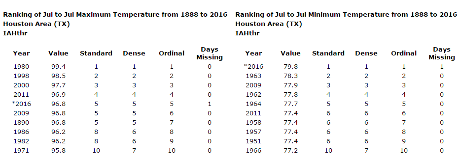
Temperatures begin their upward march though: Back into the solid mid 90s today.

See full post

Rain to exit Houston, plus a tropical checkup

Yesterday was certainly fun, wasn’t it? A substantial chunk of our audience saw some pretty strong storms, but rain totals were very sparse. The axis from Pasadena through the Heights saw 1-3″ of rain, but many areas around city heard thunder and saw no rain. Such is the nature of summertime storms in Houston.

Rainfall totals from Monday show some 1"+ totals, but also a lot of zeroes. (Harris County Flood Control)
Rainfall totals from Monday show some 1″+ totals, but also a lot of zeroes. (Harris County Flood Control)

TODAY

We’re already starting off today with a somewhat active radar, as scattered showers reach the coast from about Sabine Pass down through Matagorda Bay. Showers will be around this morning. As we go through the day, I think the best chance of rain will shift south and west of Houston. The further north and east you go from the city, the less storms you’ll see by afternoon (though not quite zero). Temperatures should again try for the mid 90s.

See full post

Houston’s rain chances soon to slip away

After a mostly quiet weekend around Houston, we had some excitement Sunday. In the morning, we had a waterspout in Galveston that prompted a Tornado Warning. Then, we saw numerous showers and storms around the area in the afternoon.

Radar loop from 1 PM-5 PM Sunday shows pulse storms around Houston. (UCAR)

Rain totals weren’t terribly impressive, but a couple spots saw up around an inch of rain.

Rain totals from Sunday across Harris County. (Harris County Flood Control)

Anyway, as we go into this week, we’ll start with rain chances similar to what we saw yesterday.


MONDAY & TUESDAY

With a good onshore flow and a surge of good moisture, it will be wise to keep rain chances in the forecast for Monday. Like yesterday, this won’t end up being a widespread soaker, but some of us will see some beneficial showers, downpours, and possibly thunderstorms both this morning and this afternoon. Outside of that, continued sticky and hot, with highs in the low to mid 90s.

Forecast radar today shows a smattering of showers, but not everyone will see one. (Weather Bell)

I think tomorrow will be a similar story, except we begin to see high pressure flex from the north. That means the best rain chances will be south of I-10. But again, a modest amount of shower/storm coverage should be expected. Again, highs should be in the low to mid 90s, with mid to upper 90s north of the Houston metro area.

See full post

We need more synonyms for heat

Heat, hot, warmth, sizzling, scorching, stifling, stupid hot. We’ve run out of words to describe it. Any (PG rated) suggestions?

STATS

The weather forecast is pretty simple, so let’s start with a few stats. This July weather has been interesting. In people I’ve talked to, the daytimes don’t seem to feel much hotter than usual. The evenings aren’t especially awful either. It’s the mornings that seem to be the problem. Through yesterday, we’ve had nine 80° mornings in Houston in July (today will not be an 80° morning). This places us 3rd on record for any July and 6th on record for any month at all. Our daytime high temperatures have averaged 96.9° this month. Our nighttime lows have averaged 79.7° for the period.

If the month ended yesterday, Houston’s July would be tied for 4th hottest during the day and warmest ever at night (and not even close). Note: The chart below contains data through Wednesday; I’ve included Thursday in the totals above.

July's 10 hottest average high temperatures & low temperatures. (Midwest Regional Climate Center)
July’s 10 hottest average high temperatures & low temperatures. (Midwest Regional Climate Center)

So, yes, it’s been a hot July by any metric, even for Houston. But when you factor in the nights, July 2016 currently sits in a league of its own. Last week, Eric touched on some of the reasons why our nighttimes are getting warmer. I also think soil moisture (particularly below the topsoil), a legacy of our wet spring, as well as the warm Gulf are aiding our woes this month as well.

Soil moisture anomalies (left) and sea surface temperature anomalies (right) imply added warmth & moisture to keep our nights warmer than usual. (NOAA)

There also tends to be a global hangover after an El Nino of the magnitude we saw last winter, with lots of warmth lingering in the atmosphere, which may also explain a part the problem this year.

Anyway, with that, on to the forecast, with little to no good news unfortunately.

See full post