Good morning. I just wanted to say a quick thank you to Matt for covering the site last week while I was on vacation—it felt good to fully unplug for awhile. I am sorry to have missed some great weather last week, however. Now I’m back, and ready for the spring storm season (some northern areas, such as Montgomery County, got a taste of severe thunderstorms on Sunday evening), and summer is lurking around the corner as well.
Monday
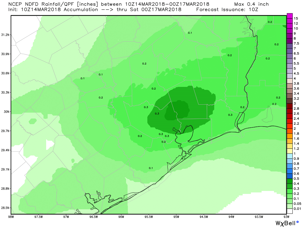
The radar is clear this morning across the Houston area, but that should change shortly after sunrise as a cool front approaches the area. I expect a broken line of showers, and possibly a thunderstorm or two, to develop along the front as it reaches Houston during the morning hours, and moves well off the coast by noon. Over the areas they develop, these storms should not produce significant accumulations as they will be fast moving. I was actually hoping for a bit more widespread showers today, because that might help shake some of the extremely heavy tree pollen levels out of the air.
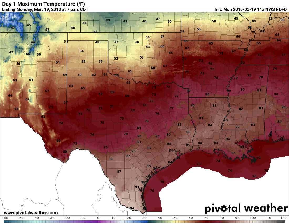
With sunny skies today, and very dry air moving in behind the cool front, we should see highs climbing into the low to mid-80s across the area. Given the very dry air mass—humidities could be in the teens across the area—please take care if handling fire as it won’t take much to start a wildfire, and for it to spread. With the drier air, temperatures will drop off pretty quickly tonight as the sun sets.