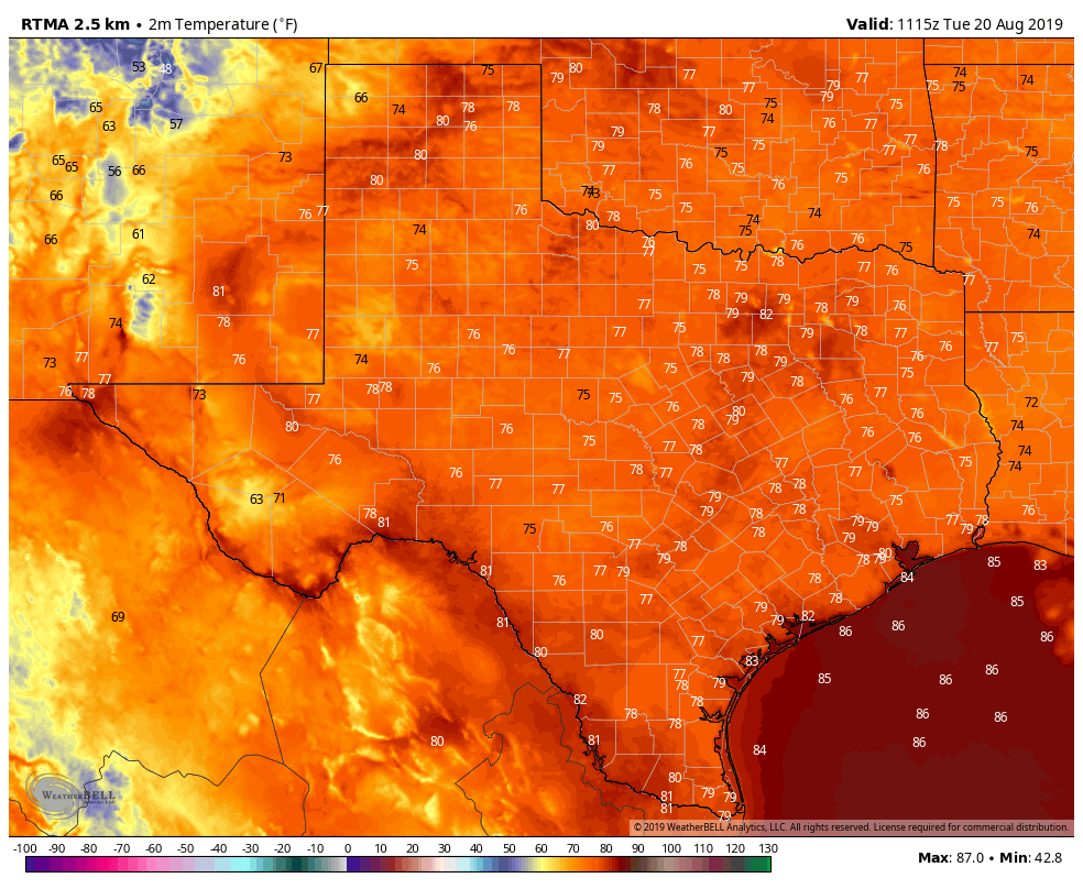
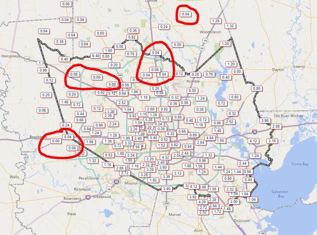
The first two weeks of August were incredibly hot and dry, but since then Houston has moved into a more typical summertime pattern where most days have produced at least a smattering of rain showers, with more widespread, heavier thunderstorms some days. However, in looking at a cumulative rain map over the last 10 days of this month, there are some areas that have stayed dry—including places like Spring, Katy, and Tomball.
If you’ve missed the rain train so far, you’ve got several more days of healthy rain chances ahead. We look to remain in a fairly wet pattern through the weekend, with perhaps Friday offering the best overall chance of showers this week.
Wednesday
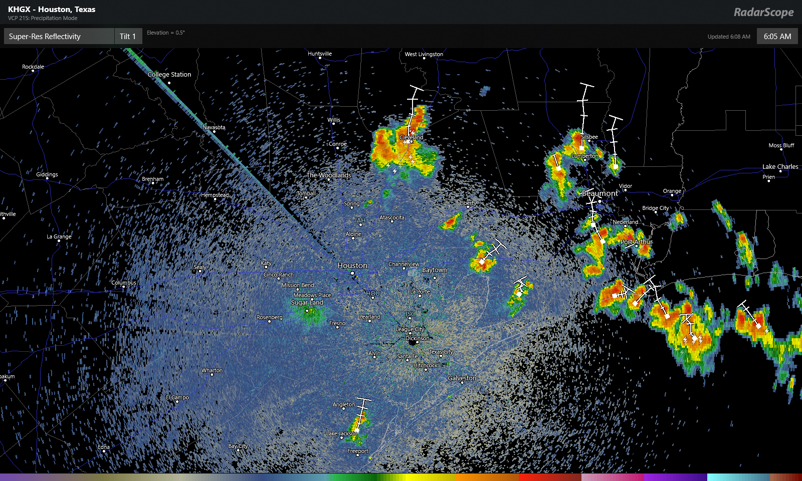
Today should be similar to Tuesday, albeit with slightly less coverage. Overall, skies should be mostly sunny, with storms popping up around noon just inland from the coast and migrating into the interior of the region by around 6pm or so. They should end by or before sunset. Similar to Tuesday, some of these storms could be fairly intense, with short-lived, high rainfall rates that quickly drop an inch or so. Let’s go with a 30 percent chance of rain, with highs in the mid-90s.
Thursday
Another day similar to Wednesday, with slightly better shower coverage as the Houston area begins to open up to Gulf moisture. Let’s call it 40 percent rain chances with highs in the mid-90s.