Highly uncertain forecast as Houston heads into the weekend

Good morning. We hope everyone enjoys today’s absolutely stunning weather, from a cool morning through a pleasant, sunny day, and clear skies this evening. We’ll have more of the same on Wednesday before confidence in the forecast plummets heading into the weekend. Let’s discuss why below.

Tuesday

As mentioned, today will be a grand affair, with sunny skies and high temperatures around 80 degrees. With dry air, lows on Tuesday night will cool down to about the same temperature as on Monday night.
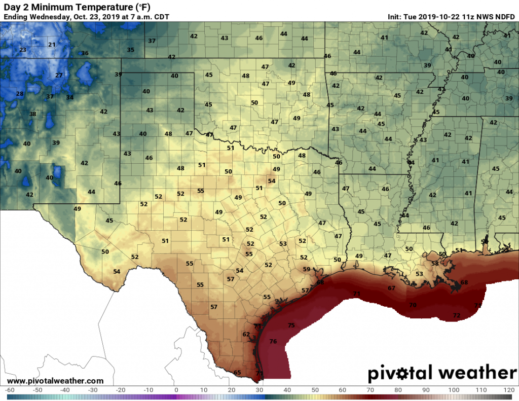
Tuesday night should again be pleasantly cool. (Pivotal Weather)

Wednesday

As high pressure moves off to the east on Wednesday, the region will begin to open up to an onshore flow from the Gulf of Mexico. But daytime conditions will still be quite pleasant, with sunny skies and highs around 80 degrees again. Wednesday night lows should get into the 60s for all but the immediate coast.

Thursday and Friday

And here, the divergence begins. The forecast models are struggling with how to handle the evolution of a large area of low pressure over the southwestern United States. One camp of models, led by the GFS model, brings this system eastward pretty quickly, and drives a strong cold front into Houston on Friday. Under this scenario, we may see a smattering of rain as the front blows through, with much colder weather afterward. The second camp of models, led by the European forecast model, holds up the front, allowing a surge of tropical moisture to push into Texas on Friday and Saturday. Under this scenario, Friday is rainy and muggy.

See full post

Cold front moving through Houston, setting up a fall-like week

The high temperature on both Saturday and Sunday topped out at 90 degrees at Bush Intercontinental Airport, making for a warm weekend. If you’re tired of Houston’s long, long summer—the region had its first 90-degree day back on April 9 of this year—the good news is that we’re probably done with 90-degree days for 2019. In fact, we should mostly be in the 70s for this coming week and weekend.

Monday

A line of storms will push through Houston at around sunrise, or a little before, on Monday morning. A few of these storms are fairly strong, but the line is moving from northwest to southeast fairly quickly, so we don’t have any flooding concerns. Most areas should see about one inch of rain. Unfortunately the storms will hit during the morning commute for some people. The front should be off the coast by or before noon. In the wake of the front, highs today should hold in the 70s, with most of Houston falling into the upper 50s on Monday night with clearing skies.

Monday night low temperatures will be quite nice. (Pivotal Weather)

Tuesday and Wednesday

These will be a pair of gorgeous days, with cool mornings in the upper 50s (except along the coast), mostly sunny skies, and highs in the upper 70s to possibly 80 degrees. An onshore flow resumes on Wednesday night, which should nudge lows into the mid-60s.

See full post

Sunshine returns as the mercury rises this weekend

After a mostly cloudy Thursday, expect sunshine to return in force today and for much of the upcoming weekend. Buckle up for a mini-temperature roller coaster though, as we crank the heat this weekend before our next cold front on Monday.

Today and Saturday

Out in the Gulf, we have Potential Tropical Cyclone 16 chugging off to the northeast this morning.

The National Hurricane Center says PTC 16 will race off to the northeast toward the Florida Panhandle by tomorrow morning. (NHC/NOAA)

While it won’t directly impact southeast Texas, behind it, dry air is locking into place over our area. Other than a few lingering clouds south and east of Houston this morning, that spells sunshine today. Look for temperatures to be pleasantly warm and pop up to the low-80s this afternoon. Clear skies tonight may allow for a little patchy fog to develop in inland parts of the region. After that lifts on Saturday, we will see sunshine and temperatures warm up from the lower or middle 60s into the mid- to upper-80s. A stray shower is possible toward evening, mainly south of Houston.

Sunday

Sunday should see a mix of sun and clouds, though the clouds will gradually populate more of the sky on Sunday afternoon. A few showers can’t be entirely ruled out on Sunday, as a more aggressive push of warm air off the Gulf lifts north.

High temperatures on Sunday look more like late summer than autumn, with mid- to upper-80s across most of the region. (NWS forecast via Weather Bell)

It will feel like late summer on Sunday, with temperatures warming from near 70° in the morning into the upper-80s Sunday afternoon. Some spots could top off around 90 degrees or so.

See full post

A hot, mostly sunny weekend on tap for Houston

Houston will enjoy one more day of fall-like weather before we transition back into warmer weather for the weekend. But by Monday or so we should enter a more prolonged period of cooler, fall-like weather.

Thursday

After starting out in the 50s for all but the immediate coast, today will rise into the low- to mid-70s. Houston is not going to get warmer than that due to a cool, northerly breeze as well as fairly persistent cloud cover. Low temperatures on Thursday night should be similar to Wednesday night, albeit a degree or two warmer.

Thursday morning’s forecast low temperatures. (Pivotal Weather)

Friday

As the onshore winds return Friday, temperatures will warm some. But this still will be a fairly nice day, with highs of around 80 degrees and mostly sunny skies.

Saturday

The first day of the weekend will be quite warm. As I’ve been suggesting, this weekend will probably be the last time the Houston region has a chance for high temperatures in the 90s this calendar year. (Houston has never hit 90 degrees, on record, after October 29th). In any case, Saturday, will be hot and sunny, with temperatures in the upper 80s to lower 90s.

See full post