Anticipating a mild week, we look ahead to Thanksgiving

Good morning. We’ll have one more night in the 50s tonight before warmer weather returns—Houston has not had a nighttime temperature in the 60s since November 5th. Cooler weather should arrive just before the weekend. Don’t forget, we’re continuing our annual fundraiser this week—so far your support has been amazing and we really appreciate it.

Monday

With calm winds and high pressure, Monday will have some very pleasant fall weather on offer. Expect highs in the low 70s, mostly sunny skies, and a mild night in the 50s. Enjoy!

Tuesday

A moderate onshore flow should begin Tuesday, and this will lead to a bit warmer, and bit more humid conditions. We can safely expect highs to climb into the mid- to upper 70s, with mostly sunny skies. Lows on Tuesday night should only fall to around 60 degrees for most of Houston, albeit warmer along the coast, and slightly cooler inland.

Some parts of Houston may approach 80 degrees on Wednesday. (Pivotal Weather)

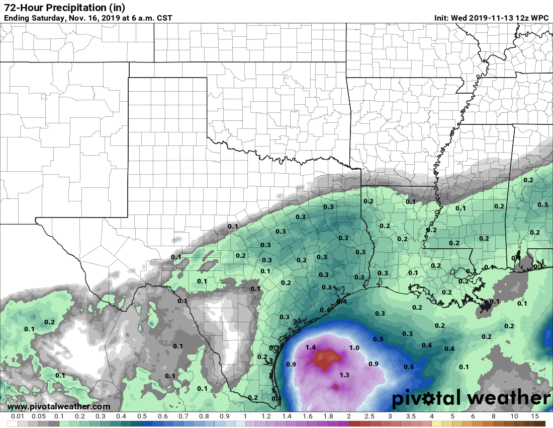
Wednesday and Thursday

The flow from the Gulf of Mexico should increase by the middle of the week, and at some point Wednesday we should transition from mostly sunny, to partly sunny, so mostly cloudy weather. Highs on both days will reach into the upper 70s—and test my suggestion that Houston could be done with 80-degree temperatures this year. Lows by Wednesday night probably will only fall into the low to mid-60s. Some slight rain chances return for both days, but accumulations where rain does fall should be very light.

See full post

Sunshine returns for Houston and temperatures inch upward this weekend

With clouds and rain Thursday, we managed to only hit 48° for a high temperature. That was the third consecutive day of Houston not getting above 50°. When is the last time that occurred in November? That would be November 27 to 30, 1952.

We have not had a cold snap of this length in November since 1952. (NWS Houston)

No, the winter of 1952-53 was not especially cold. Houston only saw 3 nights of freezing temperatures after that November, none colder than 27°. One of the popular questions we’ve received is whether or not this cold weather so early means a cold winter. The unsatisfying answer I have to give you is that you simply can’t draw many conclusions about the subsequent winter based on this early season cold. It is just difficult to correlate it in either direction. But by any measure, this was one of the more powerful early season cold air masses in the U.S. in some time.

Now, we can discuss warming up a bit.

Today

Skies mostly cleared out overnight, and that has allowed fog to develop in many parts of the area.

Bright colors on this satellite image indicate fog, which is scattered about as of 5:45 AM. (College of DuPage)

Fog should dissipate over the next few hours, and by mid-morning we should be seeing the sun poke back out. Look for ample sunshine the rest of the way and high temperatures sneaking up into the upper-50s this afternoon. Break out the shorts, y’all!

Weekend

With clear skies, light winds, and a relatively dry air mass tonight, we should see temperatures actually get rather chilly again.

Another cold night is expected tonight with low temperatures running about 10 to 15 degrees colder than normal. (Weather Bell)

Expect upper-30s to around 40 or so in the city of Houston. Outlying suburbs will likely dip into the mid-30s. Folks way up north toward Cleveland or Conroe or Magnolia may drop to near-freezing. On the coast, look for Galveston to bottom out in the mid-40s.

Saturday itself looks lovely with sunshine and high temperatures around 60° or so. Expect Saturday night to be clear and chilly once more. Low temperatures will be about 3 to 5 degrees warmer than tonight, however. Look for around 40 in the city, mid- to upper-40s at the coast, and upper-30s in the northern and western suburbs.

See full post

Cold November rain today, and a big weather-space anniversary

Good morning! We’re kicking off our 2019 fundraiser today—accepting donations, and selling t-shirts, sweatshirts, and umbrellas to support this site.

Our goal with Space City Weather is to provide a place for anyone living in the greater Houston area to find sensible information about weather forecasts without hype or nonsense. We don’t always get every forecast right, but we sure try, and we’re there whenever the weather matters to Houston. The site will always be free, and your contributions are most welcome to compensate Matt and me for our time, and server expenses to keep the site lightning fast. We also have a couple of exciting plans for 2020 that you’ll be supporting.

When you go to the fundraiser site there are three choices: An umbrella, and two collections of t-shirts with the designs below. One design celebrates the 50th anniversary of the Apollo 11 Moon landing, and the other highlights the region’s awful September weather. Click on any of the campaigns to make your selections, or just use the donate-only button. We truly appreciate your support during this fundraiser, which will last through the end of November.

2019 fundraiser t-shirt designs.

Thursday

Speaking of space, today marks perhaps the most significant weather moment in NASA’s history. On this date in 1969, lightning struck the Saturn V rocket about 36 seconds into the flight of the second human mission to the surface of the Moon. A flight controller named John Aaron saved the mission with a command so obscure that commander Pete Conrad did not recognize it: “Flight, EECOM. Try SCE to Aux.” Read more here.

While Houston won’t see much lightning today, there should be plenty of overcast skies and mostly light to moderate rainfall as moisture pushes in from the Gulf of Mexico. We don’t have any flooding concerns, but this will be a gloomy day with highs in the upper 40s and on-and-off rain until around sunset. It will be, dare I say it, a cold November rain? This evening a reinforcing cool front should push through the region and dry out the atmosphere.

See full post

After a widespread freeze, Houston will warm a little bit

An Arctic front has brought a widespread freeze to Houston, with temperatures generally in the mid-20s to mid-30s this morning across the region. This will be the last of the freezing weather for us, for now, but we’re going to remain in what passes for “winter-like” conditions in Houston through Saturday. Next week looks to be warmer, on the whole.

Some low temperatures on Wednesday morning. (National Weather Service)

Wednesday

As the next front approaches from the west, it will begin to push rain chances up later today. A relatively dry atmosphere should keep Houston mostly dry into this afternoon, but by this evening or the overnight hours we can probably expect to see the development of light showers across much of the region moving in from the southwest. Highs today will struggle to reach 50 degrees as clouds build across the area, with lows tonight falling to around 40.

NOAA rain accumulation forecast for now through Friday. (Pivotal Weather)

Thursday

This will be a gloomy day, with cloudy skies, and on-and-off light to moderate rain showers. In terms of accumulation, most of the region will probably see on the order of 0.25 to 0.5 inches of rain from Wednesday evening through Thursday, so this is not something to be concerned about in terms of flooding. The absence of any sunshine should limit temperatures to the upper 40s for most. The rains should end some time Thursday evening for most as the front pushes through and dries out the atmosphere.

See full post