Heading toward hotter, sunnier weather later this week

Good morning. We’re entering a summertime pattern where showers will be possible on most days, but rainfall by no means a certainty. For late July and August, our weather during the coming week will actually run on something of an even keel, with temperatures neither too hot or cold for this time of year, and neither a blistering drought nor flooding rainfall. We’ll take it.

Tuesday

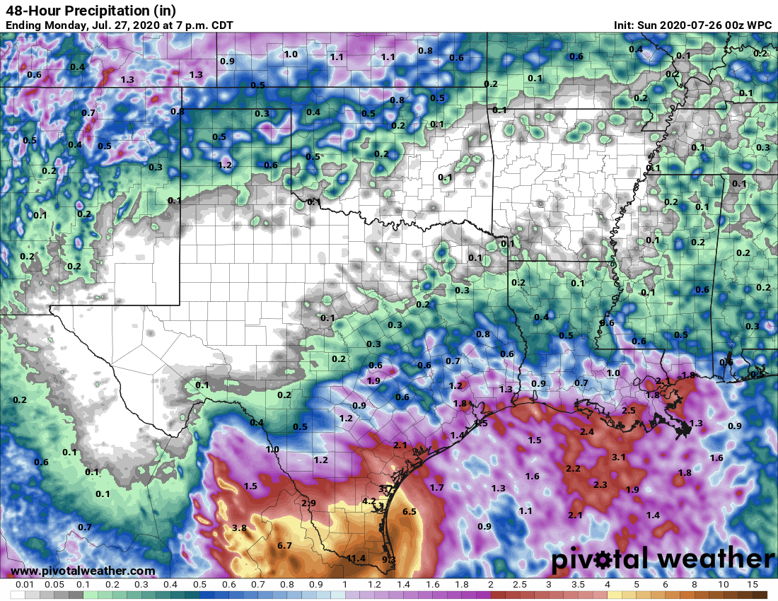
Today will probably bring the best chance of widespread rain and heavy showers as an upper-level low pressure system passes slowly overhead toward the southwest. This should initiate showers during the late morning hours into the late afternoon or early evening. Areal coverage will probably be about 50 percent. As we saw on Monday, some of these storms should be pretty efficient lightning generators. Highs may rise into the low 90s this afternoon with partly sunny skies, and winds will be light out of the south. Overnight lows Tuesday night will be similar to those for the rest of the week—upper 70s for inland areas and lower 80s for the coast.

Map of lightning strikes on Monday and Monday night. (Lightningmaps.org)

Wednesday

Wednesday will again bring a healthy chance of showers. However, with the upper-level low moving away we should see less organization in any storms that form, and probably fewer thunderstorms. Otherwise, skies will be partly sunny and highs in the low 90s.

See full post

Unsettled weather remains for the first half of the week

As expected, Houston saw periodic heavy rainfall this weekend from the outer bands of Hurricane Hanna, but totals were more than manageable. The heaviest rains came near the center of the storm, which moved inland near Port Mansfield and proceeded to drop as much as 15 inches of rainfall over South Texas, leading to widespread flooding. Hanna has now become a depression in northern Mexico and should dissipate today. Despite our region’s dynamic weather over the last week, we have more to come.

Monday

For the next couple of days our weather will be determined, to some extent, by “cutoff low” in the upper atmosphere. Presently this atmospheric disturbance is east of Houston, producing widespread showers over southwestern Louisiana and over the Gulf of Mexico. This upper low should slowly sag toward Texas, bringing a healthy—50 percent chance of rain—later today. Some of these storms could briefly produce heavy rainfall and lightning. The potential for showers and thunderstorms this afternoon should help limit high temperatures to about 90 degrees, with partly sunny skies. Winds will be light for most of the day and rain chances should slacken overnight—but not entirely go away.

NOAA rainfall accumulation forecast for now through Wednesday. (Pivotal Weather)

Tuesday

This should be another day like Monday, with the atmospheric disturbance again influencing our weather. Storms likely will again develop over parts of the metro area during the late morning hours, and into the afternoon. These storms will have the potential to produce locally heavy rainfall but should be progressive enough to not lead to flooding. An unsettled atmosphere should again limit high temperatures to about 90 degrees.

See full post

Major flooding in the Rio Grande Valley as Hanna moves into Mexico

Good morning. We’re here to offer up a brief update on Hanna as the storm works its way into Mexico this morning.

Houston area

Things are quiet this morning in Houston. There are some showers south and west of us and another batch moving across the coast of western Louisiana. As some of this works into Texas, we should see showers and storms become scattered across the area.

Showers and storms in Louisiana will likely work toward our area today, bringing at least scattered rains, some heavy, to the Houston area. (College of DuPage)

Some folks won’t see much, but others may see a couple inches of rain in an hour or two this afternoon. An isolated severe storm is also possible. More typical scattered showers and storms will continue to be possible tomorrow and Tuesday, as onshore flow continues.

Rio Grande Valley

Hanna has moved into Mexico this morning, but the storm’s rains continue in the Valley. Mission has probably been the hardest hit of any of the cities in that area, and a flash flood emergency is posted for that area through late morning, as upwards of 10″ of rain has fallen, with more coming.

The heaviest rain as this is being written is falling east of Mission and just west of Harlingen. Several more inches of rain is likely to fall today and tonight as Hanna dissipates inland in Mexico.

Totals are impressive, especially just north of the Valley.

Areas in purple on this map of estimated rainfall are likely to have seen 9 to 10 inches or more of rain so far. (NOAA NSSL)

You can just make Mission out as the western-most purple area on the map, with upwards of 9 to 10 inches of rain. Other hard hit areas include Weslaco and Harlingen. The area just northeast of there with maximum totals is estimated to have received close to 20 inches of rain.This is right on the Arroyo Colorado near Arroyo City on the Cameron/Willacy County line.

Conditions should improve in that area tomorrow with more scattered showers and storms, but flooding could worsen in spots still today before subsiding. We will have the latest on the rest of this upcoming week tomorrow morning.

Hurricane Hanna reaches Padre Island, brings heavy rains to South Texas

At 5 pm CT on Saturday Hurricane Hanna made landfall along Padre Island, with maximum sustained winds of 90 mph. For Houston, our forecast remains unchanged. We will see periods of at-times heavy rainfall, but it should be intermittent enough that the worst impact we anticipate is some brief street flooding. Heavy rains should be more scattered on Sunday and backing off further on Monday. The rest of this post will focus on South Texas, where Hanna’s rainfall potential is much more serious.

Radar image of Hanna shortly after landfall. (RadarScope)

The rapid intensification of Hanna over the last 24 hours has helped drive a storm surge of 4 to 6 feet into locations near Port Aransas and Corpus Christi. The storm’s strongest winds have come in the largely unpopulated area between Corpus Christi and South Padre Island; and as Hanna moves inland its winds should continue to die down. Looking ahead, inland rainfall and the resulting flooding will almost certainly be the biggest concern.

Torrential rainfall continues to fall across South Texas, and this is likely to continue from now through Sunday. Hanna is moving, but it is only sliding slowly to the southwest at about 8 mph. For the next 24 hours to 36 hours, before Hanna moves into Mexico, away from the Gulf of Mexico, and begins to dissipate, the storm will be capable of tapping the warm Gulf waters to produce heavy rainfall.

NOAA rainfall accumulation forecast between Saturday evening and Monday evening. (Pivotal Weather)

Some high resolution modeling suggests that an additional 6 to 12 inches of rainfall may fall in locations such as Hidalgo and Cameron counties during this time period. And with these kinds of widespread totals we can probably expect some locations to receive as much as 15 inches of additional rainfall. This will lead to significant flooding problems in a region of the state already strained by the COVID-19 pandemic.