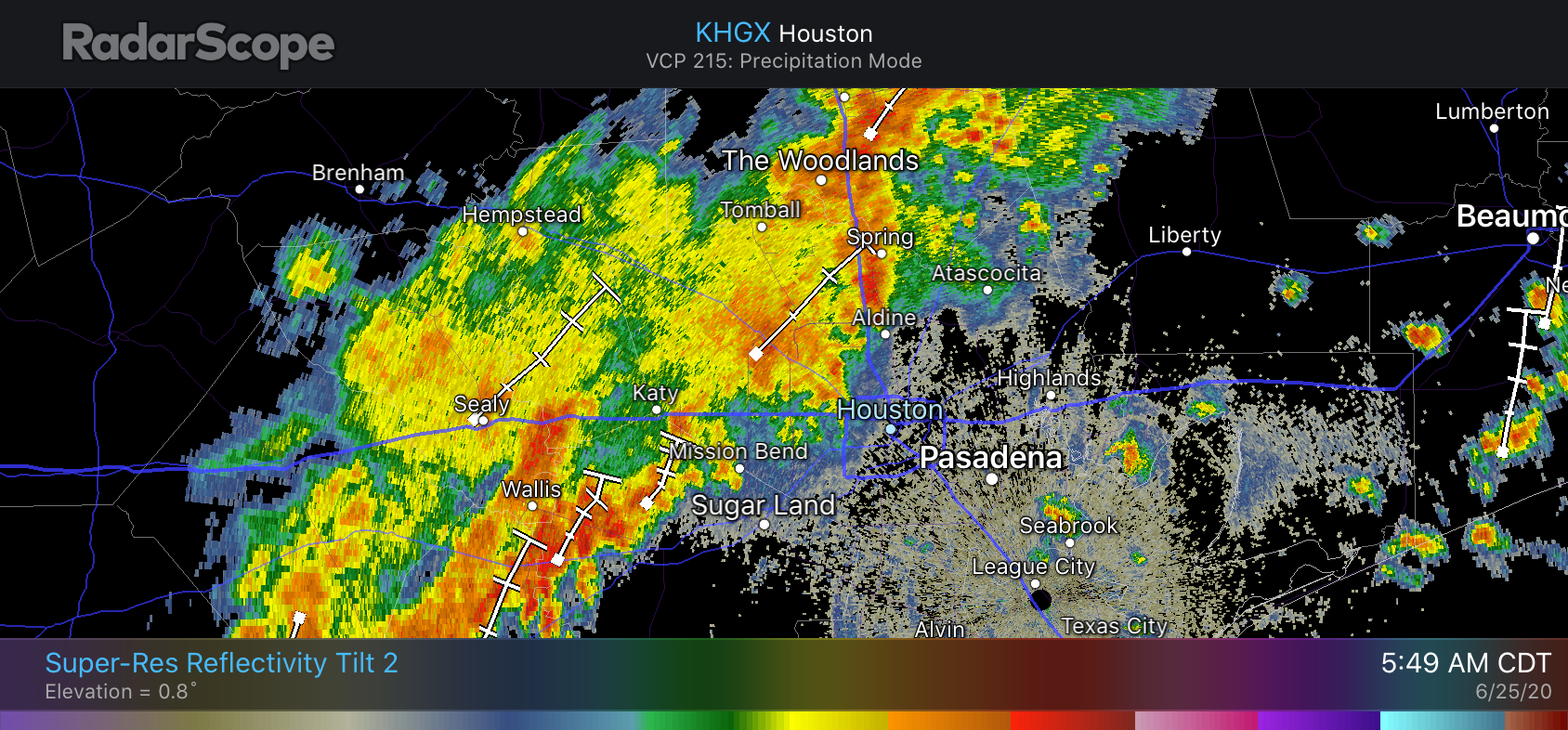
Good evening. We wanted to apprise you of the latest we have for the overnight forecast. Some storms remain to the west and north of Houston as of 6pm CT, but these should wind down during the next couple of hours. Unlike the previous two nights, as of now we do not anticipate any widespread showers or heavy rainfall on Thursday night or the wee hours of Friday morning.
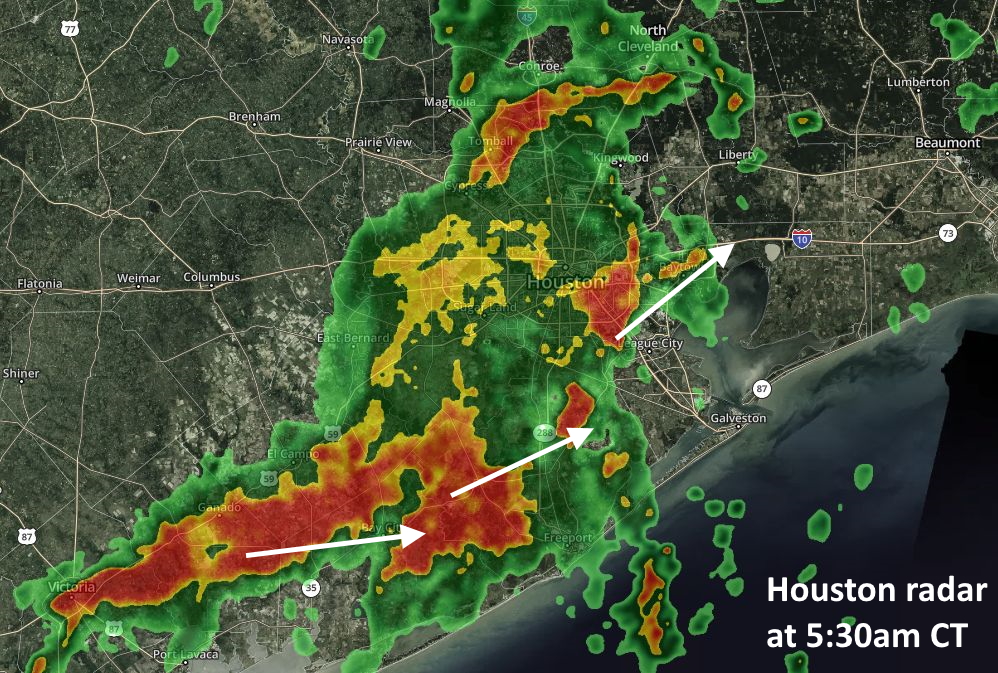
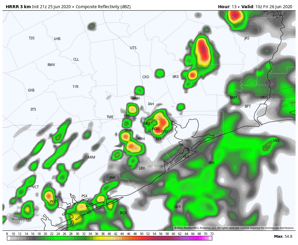
However, the forecast models suggest a deeper area of moisture will push inland near Matagorda Bay or Galveston a couple of hours before sunrise on Friday, and this should bring some additional showers and thunderstorms into Houston throughout the morning. We don’t expect anything too extreme from these storms, with most people seeing 1-2 inches of rain at most.
Obviously we’ll have a better handle on Friday’s weather by tomorrow morning, when Matt provides you with an update. But I wanted to let you know that—knock on wood—most of tonight should be relatively sedate for the Houston area, weather wise. It would certainly make for a nice change. And yes, we hope we’re not eating these words tomorrow morning.