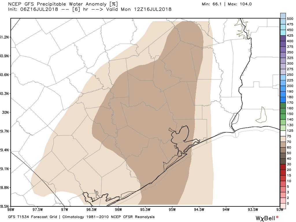
Houston to remain in the grip of excessive heat for a bit longer

The greater Houston region saw a rare “excessive heat warning” on Tuesday as low-level moisture stayed put during the afternoon hours, allowing heat indices to briefly exceed 113 degrees. Such conditions will remain for a couple of more days before clouds and increasing rain chances finally bring some relief to the area.

(National Weather Service)

See full post

Houston has reached peak summer—it’s all downhill from here

We’ve previously discussed why summer peaks so late along the Texas coast, a phenomenon known as seasonal lag. But now we’re finally here. For Houston’s official weather station, Bush Intercontinental Airport, today is climatologically the warmest day of the year. For Hobby Airport, it’s August 10. For College Station it’s August 11, and for Galveston its August 13.

Peak summer in the United States, by location. (Brian Brettschneider)


Peak summer is here, and that means it can finally go. Unfortunately, it’s going to go slowly. (Thanks to Brian Brettschneider for the data).

Today through Saturday

Houston hit 100 degrees on Monday, marking the fourth time this year we’ve hit the century mark. Unfortunately this pattern of very hot days with highs in the upper 90s to near 100 degrees is not going to change this week. We’re going to see hot weather, partly to mostly sunny days, with some scattered showers mainly during the afternoon hours. Summer in Houston is to be survived.

Accordingly, a heat advisory is in effect for today, and will likely continue so through Saturday.

See full post

Houston to have a typical August week, but after that showers may come

Houston will continue to face very warm, summer-like conditions this week, which is understandable since we’re in the middle of August. However we’ll at least see some moderate rain chances to break the heat up—and possibly better rain chances by early next week.

Today

A stalled front well north of the metro area, in the vicinity of Texarkana, may produce some storms moving toward Houston from the northeast later today, but it’s not clear they will get all the way to Houston. Areas from Cleveland to Liberty to Beaumont are the most likely to see any rain as highs rise to near 100 degrees.  Accordingly, a heat advisory is in effect for all of the Houston area.

Tuesday through Thursday

We’re going to see typical August-like weather for most of the work week, with highs of nearly 100 degrees, lots of sunshine, and the potential for some afternoon showers driven by the sea breeze. Low temperatures will remain unpleasant, likely falling to only around 80 degrees. More heat advisories are likely on these days.

Friday and Saturday

A cool front will march across part of Texas, likely stalling out over north-north central Texas on Saturday or so.

This temperature anomaly map for Sunday shows cooler weather moving into Texas, but alas not Houston. (Weather Bell)

See full post

Textbook August weather ahead for Houston

As is often the case in August, in Houston, we’re going to remain more or less under the influence of high pressure for the next several days. Who knows, maybe for most of the rest of the month.

If there’s anything positive to be taken away from this it’s that this dome of high pressure isn’t so dominant as to eliminate all possibility of rain, nor push temperatures above 100 degrees, and afternoon heat levels to dangerous levels. We’ve been able to remain just cool enough that the National Weather Service hasn’t had to issue heat advisories for the Houston metro area. At least not yet.

But these are small comforts, and it’s still August. Therefore rain is going to be hard to come by during the next week, even though some moisture will return to the area on Friday. Here’s a look at the NOAA rainfall accumulation forecast for now through next Wednesday evening.

NOAA rainfall accumulation forecast for now through Wednesday evening. (Weather Bell)


What you’ll notice about the forecast map above is that for most of Texas the only real rain chances are along the coast, and that’s probably the pattern we’re going to see, more or less, over the next week. Warm nights with lows only in the upper 70s, hot days with highs in the upper 90s, and sea breeze-driven showers during the warmest, afternoon hours, mostly along the coast.

This is pretty much textbook weather for August—a month to be survived on the way to more temperate fall weather in late September and beyond.

Posted Thursday at 6:30am CT by Eric