Good morning. Fog lies across much of the area this Houston morning, and the entire metro region is under a Dense Fog Advisory through 10 a.m. Aside from that conditions are just sticky for mid-December. Will they remain that way through Christmas? I’ll discuss.
Today
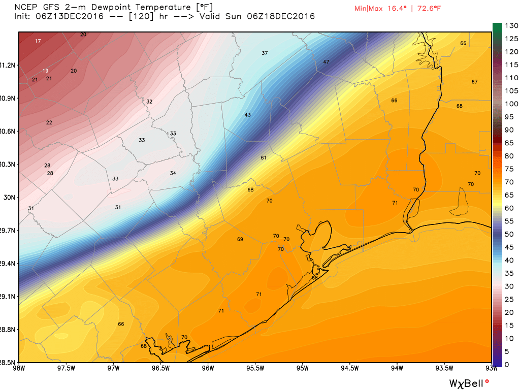
Conditions will remain mostly cloudy today, and warm, with highs in the mid-70s before the passage of a cold front sometime this afternoon or evening. Some light, scattered rain showers are possible. The front should allow temperatures to fall into the upper 50s tonight for most inland areas, with slightly warmer temperatures along the coast.
Wednesday and Thursday
As light northerly winds bring in drier air, Wednesday should be partly to mostly cloudy, with highs near 70, and overnight lows around 50 degrees. As cooler air continues to move in Thursday may only reach about 60 degrees under mostly sunny skies. The cold front’s effects will be brief, however, as onshore winds resume sometime later on Thursday.
Friday and Saturday
Warm (for December) and muggy weather returns to Houston to end the week, with highs in the mid- to upper-70s on Friday and Saturday, and warm nights. Both of these days should be mostly cloudy, gray, with a chance of light rain and possibly a few thunderstorms. Rain accumulations don’t look impressive, but there should be enough moisture to put a damper on some outdoor plans.
Sunday and beyond
Sometime late on Saturday night or Sunday—at this time I’d guess around sunrise on Sunday morning—a cold front will swoop through the region. This will be a pretty strong front, raising winds out of the north and immediately drying us out. Temperatures on Sunday afternoon will probably only be in the low 50s. With an influx of modified Arctic air, the start of next week looks quite cold, and we can’t entirely rule out a freeze on Monday morning for some areas well inland, such as parts of Montgomery county. We’ll watch it for you.
Christmas outlook
Naturally, people are starting to wonder about the forecast for Christmas Day. It is possible, 12 days out, to begin to consider some of the probabilities. Unfortunately there’s not a whole lot of clarity.
Looking at the 50 ensemble members of the European model, 27 of them show warmer-than-normal conditions on Christmas Day, at noon, with a few of the ensembles forecasting temperatures 10-15 degrees warmer than normal. Slightly fewer, 23 of the ensembles, show colder-than-normal temperatures. What is normal? The average high on Christmas Day is 63 degrees, and right now, that’s what the operational European model is forecasting (the GFS model is slightly warmer).
Right now what I’d feel comfortable in saying is that the odds of a very cold Christmas are quite low. The greatest likelihood will be for near-normal high temperatures in the 60s. There is a possibility of conditions warmer than that, however. Based upon the various ensembles, I’d rate rain chances at roughly 20 percent. Confidence in the forecast is fairly low at 12 days out.
Posted at 6:40am CT on Tuesday by Eric
It seems we never luck out when it comes to Christmas. It’s always WARM. Ugh. I hope those 27 models are trending incorrectly!
As do I!