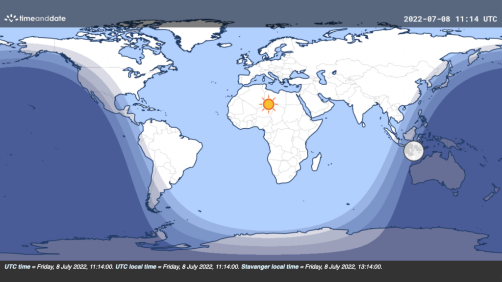
Today is a special day. At 6:15am CT local time in Houston, 99 percent of the world’s population is illuminated by the sun. Of these 99 percent, the vast majority are in direct sunlight, while the remainder are in some form of twilight. Only parts of Australia, New Zealand, and Papua New Guinea are in full darkness at this time. As to why this occurs a couple of weeks after the summer solstice, and not on the summer solstice, that has to due with the distribution of the world’s population, and the location of Earth’s landmasses. TimeAndDate has more detail on all of this in a great fact-checking post.
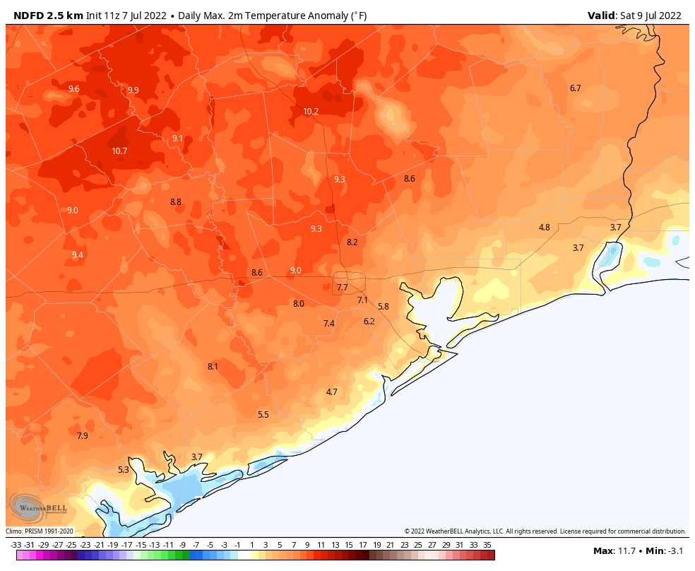
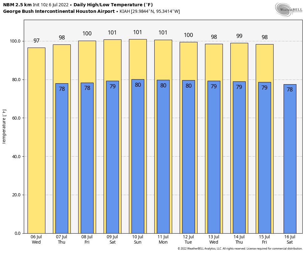
Speaking of that sun, we’ll see plenty of it during the days ahead. This weekend looks extremely hot before conditions start to moderate a little bit more each day next week. It will be nice to have daily rain chances again.
Friday
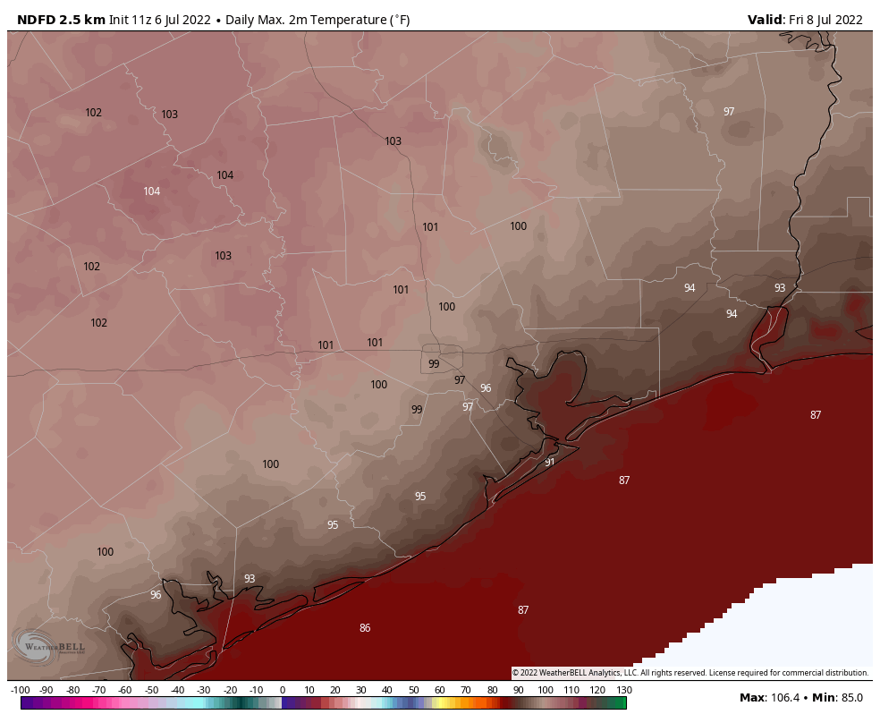
Areas inside Loop 610 won the rainfall lottery on Thursday, but the chance of hitting an isolated rain shower today is less than on Thursday. Instead, we can simply expect mostly sunny weather, with highs in the upper 90s to 100 degrees in Houston, and warmer conditions still for far inland areas such as College Station. Winds will be light, out of the southwest at 5 to 10 mph. Overnight lows probably won’t drop below 80 degrees.
Saturday
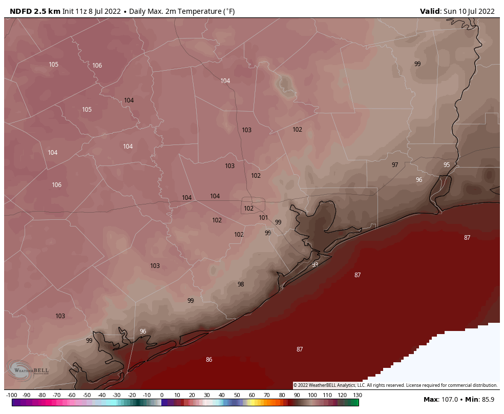
Look for very hot weather, with highs at or above 100 degrees for much of the area with sunny skies. Please take precautions due to the heat during the middle of the day.
Sunday
This will be another hot and mostly sunny day, probably the hottest of the period. However, there is a slight chance, perhaps 10 to 20 percent, of an afternoon shower or thunderstorm kicking up along with the sea breeze. I mean, probably not. But maybe.
Next week
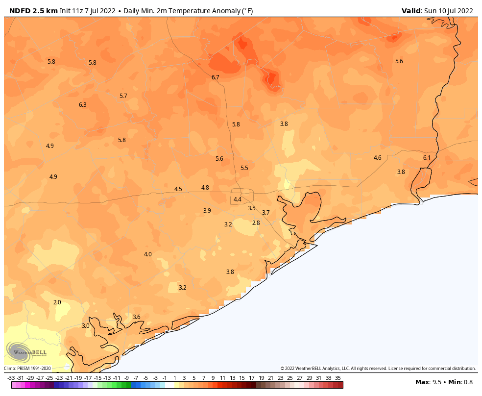
The details for next week’s weather remain a bit fuzzy, but the overall trend should be one toward more typical weather for mid-July in Houston. That means that as we get toward the middle of the week highs likely will slot somewhere in the mid-90s, with a decent 30 or 40 percent chance of rain each day. After the last few days, that doesn’t exactly sound terrible, does it? We’ll be back on Monday with some more clarity on those details. Until then, please take the heat seriously this weekend.