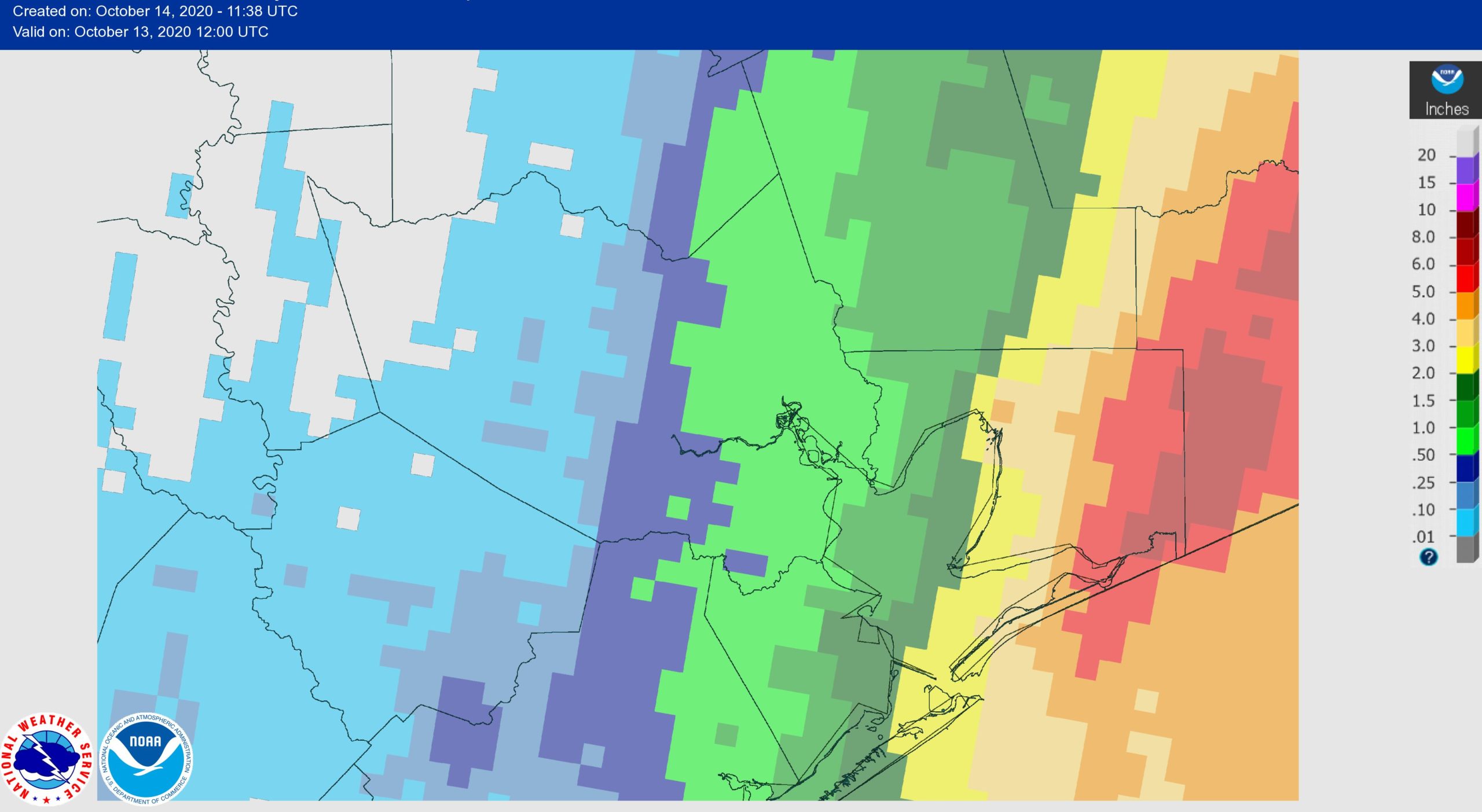
Good morning. We’ve had quite the array of rainfall totals across the region since yesterday evening.
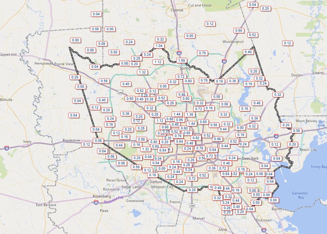
Areas near Spring and The Woodlands saw north of an inch and a half of rain, while parts of Galveston and Brazoria Counties saw virtually no rain at all. East Bernard (not shown) in Wharton County also likely received close to 2 inches of rainfall.
Today
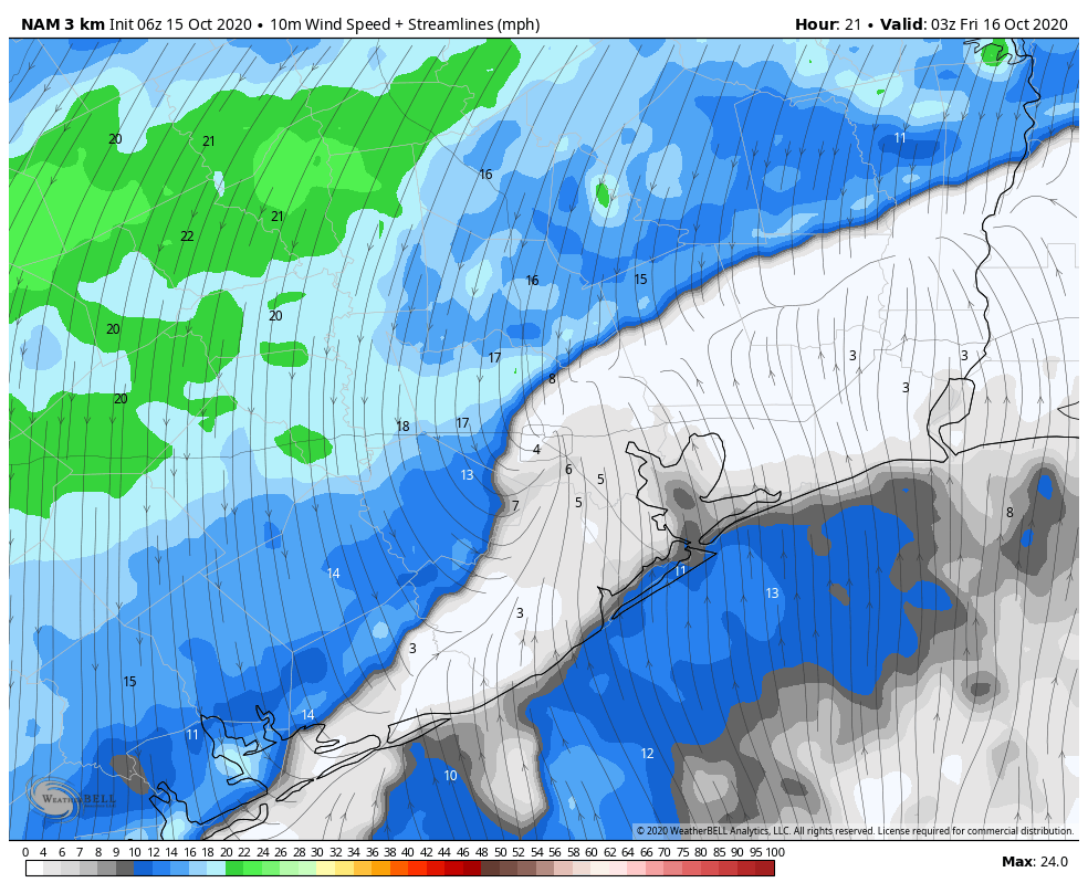
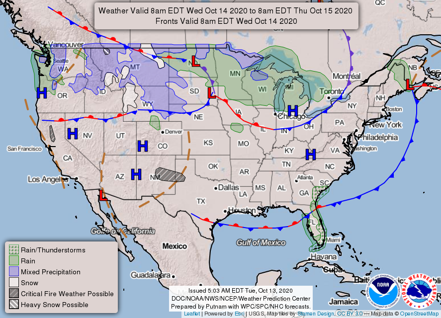
The front is through, and showers continue in its wake. These showers may be a bit stubborn to end. Areas north and west of Houston will likely see brightening skies this afternoon. But showers could persist off and on elsewhere. We’ll struggle a bit in the temperature department today, with cloud cover dictating how warm we get. Those that see sunshine could push 70 degrees, while those under clouds and showers through early afternoon may not get much above the low-60s. Northeast winds will be noticeable, giving today a distinct autumn feel as they gust to 20 mph or so in Houston and as high as 35 mph near the bays and Gulf.
Weekend
Overall, if you have weekend plans, you’ll be fine in most cases. There’s a little nuance to touch on though.
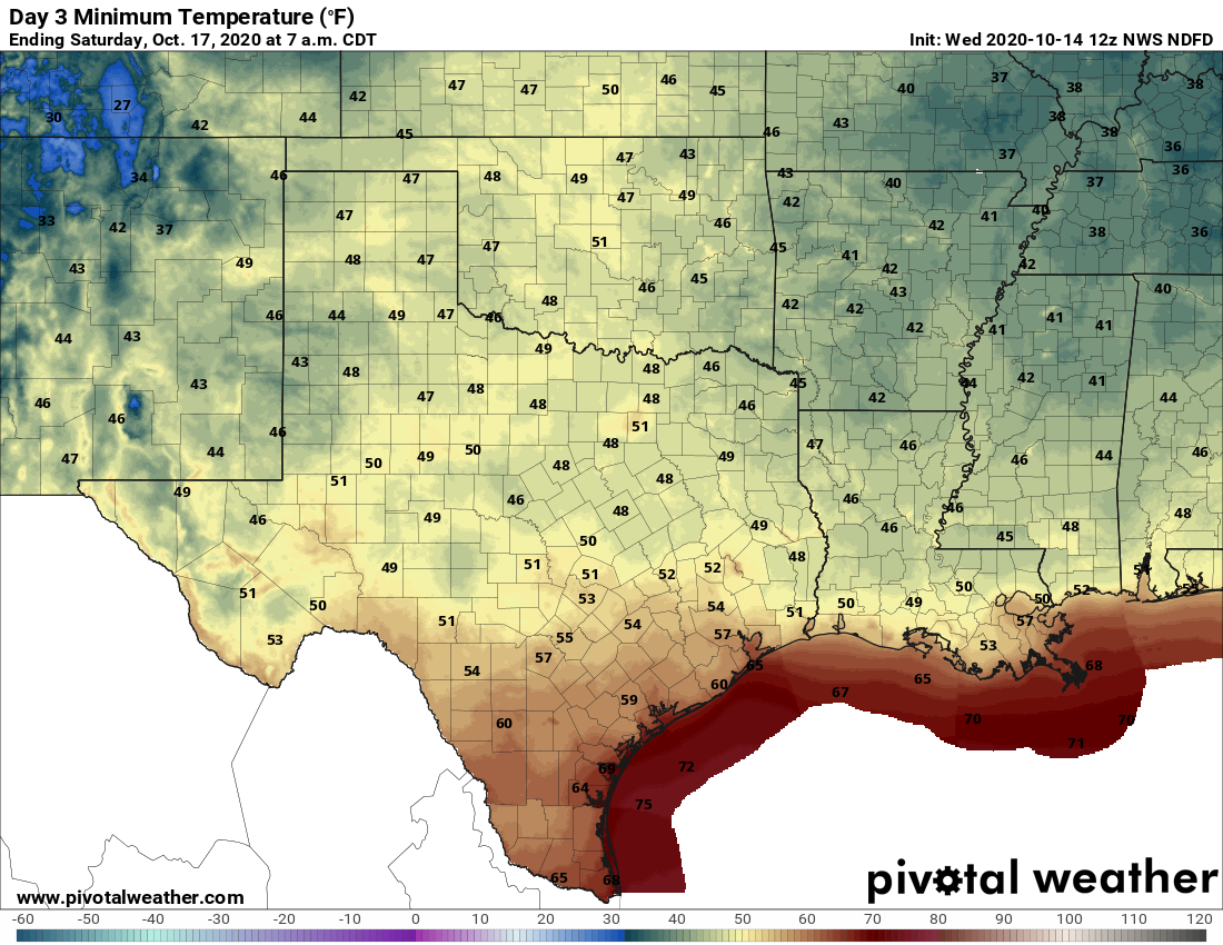
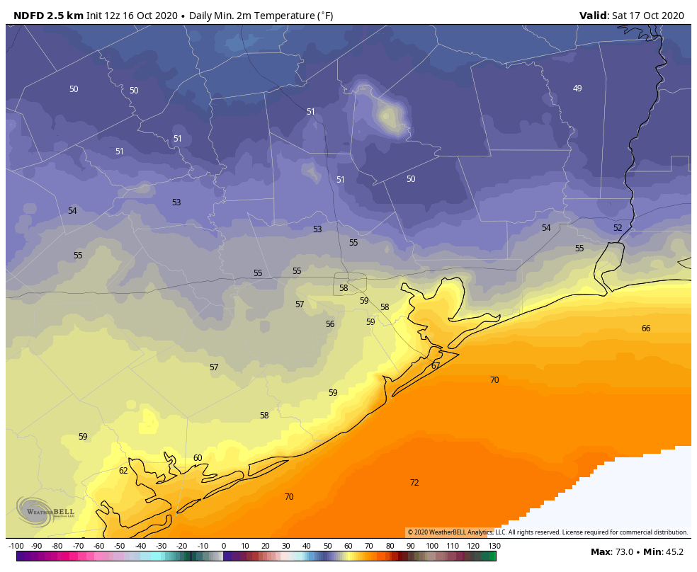
Saturday will be a bit of a toss-up day. The morning should be beautiful, cool and crisp, with temperatures generally in the 50s inland and 60s at the coast.
But we will see some cloud cover around, especially extending from southwest to northeast through the day. A little sporadic light rain or drizzle will be possible, mainly southwest of Houston. High temperatures should find their way into the upper-70s in most spots, perhaps 80 degrees or so with enough sunshine. Winds should be a more reasonable 5 to 15 mph.
On Sunday, the morning won’t be nearly as cool, with lows in the 70s at the coast and mid- to upper-60s inland. Onshore flow resumes, and you’ll notice building humidity by Sunday morning. We should see a mix of sun and clouds, and an isolated shower can’t be entirely ruled out. Looks for highs back firmly into the 80s in most spots.
Early next week
Monday should be a similar day to Sunday with warm temperatures, high humidity, and at least a chance for a passing shower or storm. Tuesday likely carries slightly better chances for scattered showers or thunderstorms. More of the same follows Wednesday. It’s a bit tough to pin down which days and times will have the highest rain chances, as we’re dealing with some fast moving disturbances that are difficult to time out this far in advance. But in general, early next week is clouds & sun, a chance for thunderstorms, and highs in the 80s, lows mostly in the 70s. Our next front is unlikely before next weekend.
Tropics
Eric’s touched on the tropics a bit this week. The bottom line is that we have nothing at all to worry about here.
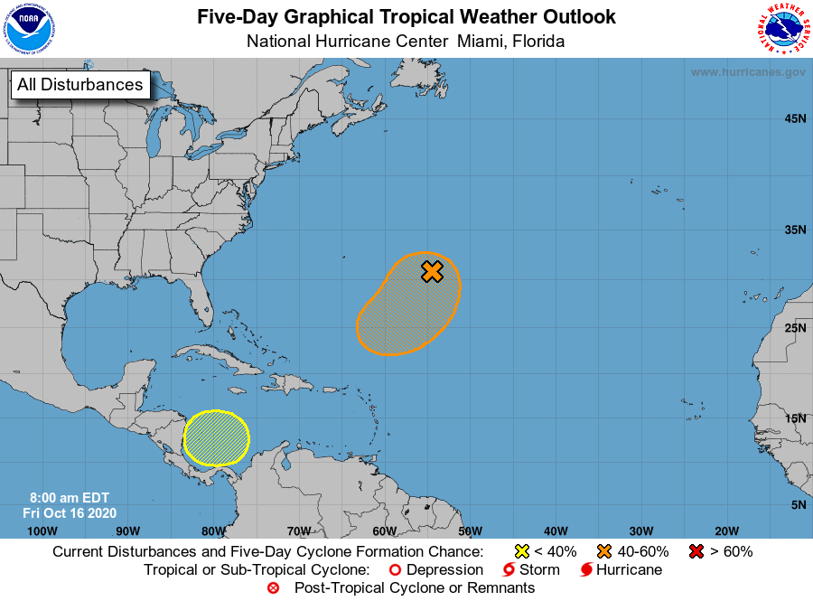
The Caribbean system may develop, but it would track due north and eventually northeast, away from the Gulf and probably away from the U.S. Another system seems likely to develop in the open waters of the Atlantic. The next two names on the list are Epsilon and Zeta.