In brief: In today’s post we dive into the weekend forecast, taking an especially close look at conditions for the Ironman event on Saturday in The Woodlands. Sunday turns cooler, with a couple days of spring-like temperatures before another warming trend.
Ironman Texas outlook
We’ve had a lot of questions about the weather for the Ironman triathlon in The Woodlands on Saturday, and here’s what I can tell you. Temperatures at sunrise will be about 70 degrees, rising to the low- to mid-80s during the afternoon hours. Dewpoints will be around 70 degrees through most or all of the daytime hours, so it will feel plenty humid outside. Skies should be mostly cloudy to completely cloudy. There will be a slight chance of light showers through the early afternoon.
Sometime around 4 to 8 pm a front will approach from the northwest, bringing noticeably less humid air and cooler temperatures. At any time beginning during the mid- to late afternoon, until the wee hours on Sunday morning, there will be a healthy chance of showers and possibly thunderstorms in the vicinity of The Woodlands. This is not guaranteed, but non-severe thunderstorms will be distinctly possibly on Saturday evening. For those who don’t know, a triathlon comprises a 2.4-mile swim, a 112-mile bicycle ride and a marathon. Good luck, everyone!
Thursday
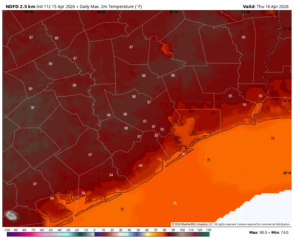
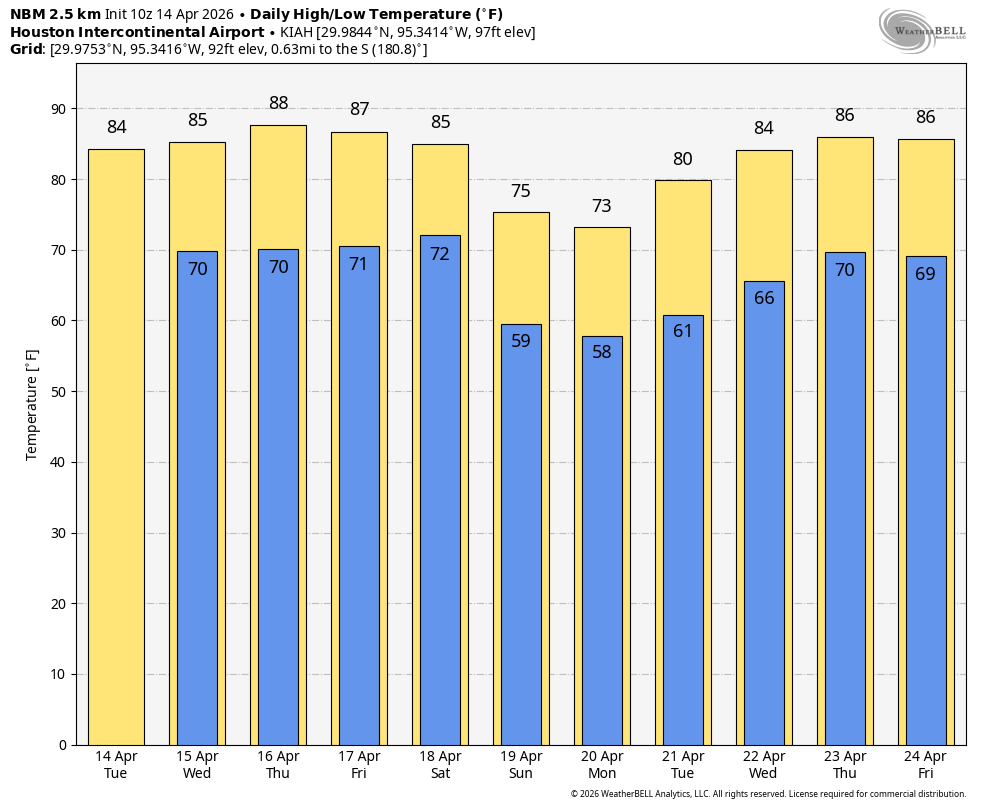
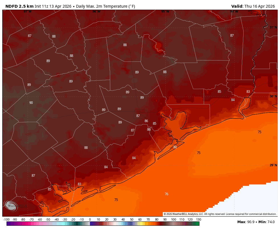
With partly sunny skies our temperatures today are likely to be the warmest of the week, with much of the area away from the coast reaching the upper 80s. A few inland locations may even approach 90 degrees. Winds will be from the south at about 10 to 15 mph, with higher gusts during the afternoon. Lows tonight will only fall to around 70 degrees.
Friday
Another warm day, but with a few more clouds our high temperatures may top out in the mid- to upper-80s. It will still be very humid, with gusty southerly winds during the afternoon. Rain chances remain near zero.
Saturday
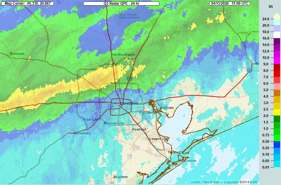
As noted in the Ironman section above, this will be another warm and humid day, but with cloudy skies likely limiting highs to the mid-80s. There may be a few, very light showers during the daytime. Shower chances pick up during the late afternoon, and especially Saturday night as a front moves through. I think most areas north of I-10 will see 0.5 to 1.5 inches of rain, with areas along and south of the freeway, closer to the coast, are more likely to get 0.25 to 0.75 inches of rain. Most of these rains are likely to come after sunset on Saturday and before sunrise on Sunday. At this time I do not expect any of these showers or thunderstorms to be severe. Lows on Saturday night should drop into the upper 50s for most locations away from the coast.
Sunday
This should be a partly to mostly cloudy day, with highs in the lower 70s. Some showers may linger near the coast on Sunday morning, but drier air will be steadily moving in from the north. Lows on Sunday night will drop into the mid- to upper-50s.
Next week
Monday will be another cool day, likely with highs in the low 70s. A chance of showers returns later on Monday with a passing disturbance, and this will persist into Tuesday. (If you’re headed to the Bruno Mars show on Tuesday, this is something to watch for. Speaking of which, it’s at RELIANT Stadium. Is anyone else happy with the reversion of the name?) With the resumption of the onshore flow on Monday we’ll see a warming trend back into the mid-80s next week.