Houston’s forecast will continue to be a gray, wet mess for the next couple of days before sunshine returns on Thursday. Unfortunately, this sunny weather will be short-lived with the return of clouds and some rain showers as early as Saturday.
Tuesday
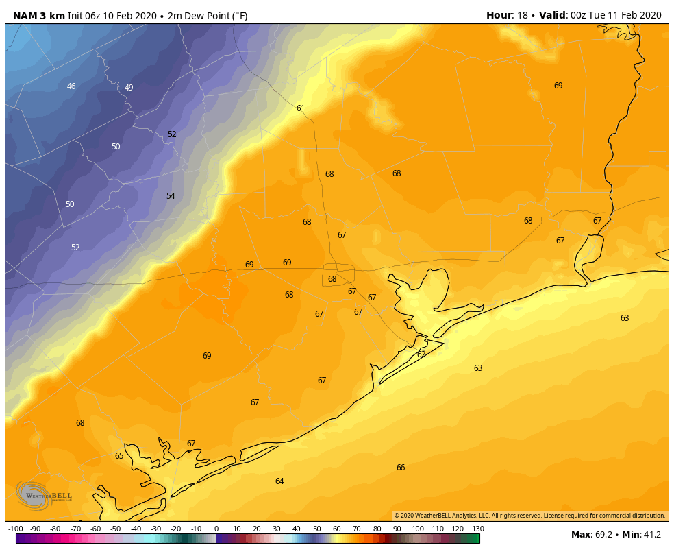
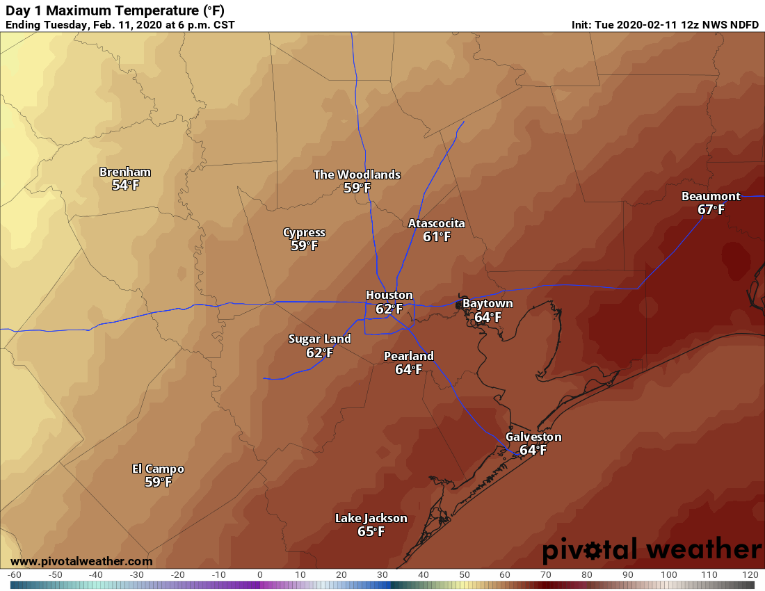
A cold front has pushed just offshore, leading to northerly winds across the metro area and temperatures ranging from the mid-40s north of the city to around 60 degrees right along the coast this morning. The front will slowly lift back to the north today, allowing winds to shift to come from the east. To be frank, it’s not clear how slowly this front will pull back today, and so our temperature forecast is somewhat uncertain. Generally highs will probably get into the low 60s across the region, although areas north and west of Houston will be cooler.
Skies will remain gray today, with the possibility of light rain. We can’t rule out a thunderstorm, but for the most part any showers in Houston today should be light as they move from west to east. Accumulations for most will be about a tenth of an inch or less. Low temperatures tonight will probably only fall a few degrees from daytime highs.
Wednesday
Frankly, we have a lot of questions about Wednesday’s weather as well, because there is just not great agreement on when the next strong front pushes into Houston and off the coast. Highs on Wednesday will likely get somewhere into the 60s, but again there could be a pretty sizable difference in temperatures between west (cooler) and east Houston. Rain chances will be pretty high on Wednesday, but again I expect accumulations to be reasonable, with most areas receiving one-half inch or less.