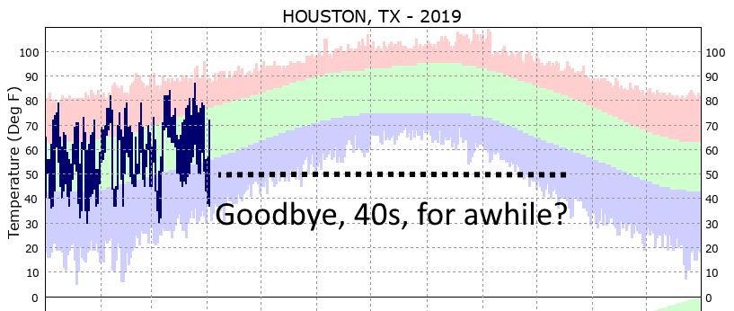
As anticipated, rains have returned to the area overnight, although we’ve already seen more than expected over eastern Harris and especially Liberty County, where 1 inch or more has fallen in some locations. This signals the return of a wetter pattern that will remain with us through Sunday, after which time the region should have a chance to dry out for at least a few days.

Thursday
As of sunrise, the bulk of the shower activity has moved off to the east of the Houston metro area, but we should see some light-to-moderate activity fill back in this morning and into the early afternoon hours. However, again the best rain chances, and potential for any severe thunderstorms, remains well off to the east and mostly over Louisiana. The upper-level disturbance that’s driving this activity will move east later today, bringing and end to the rain. Highs today should be around 80 degrees, with a warm night in the upper 60s.
Friday
Skies will be partly to mostly cloudy, but Friday should offer a break from the rain. Expect highs of around 80 degrees. The only concern for Friday is the potential for patchy fog to develop with the warm air over-running cooler waters.