As the Sun rises above the equator, you know what that means Houston

Good morning. Today is the spring equinox, the point at which the Sun crosses the equator. For a nice explanation of why meteorologists generally begin spring on March 1, instead of today, see this post by Braniff Davis. In practical terms, for Houston, this means that days will continue to get longer for three additional months, and we’re going to continue our march toward the dead of summer. It also makes last week’s brief cold outbreak (shown in the graphic below), all the more sweeter.

Daily temperature departure from normal in Houston this year. (Matt Lanza)

Today

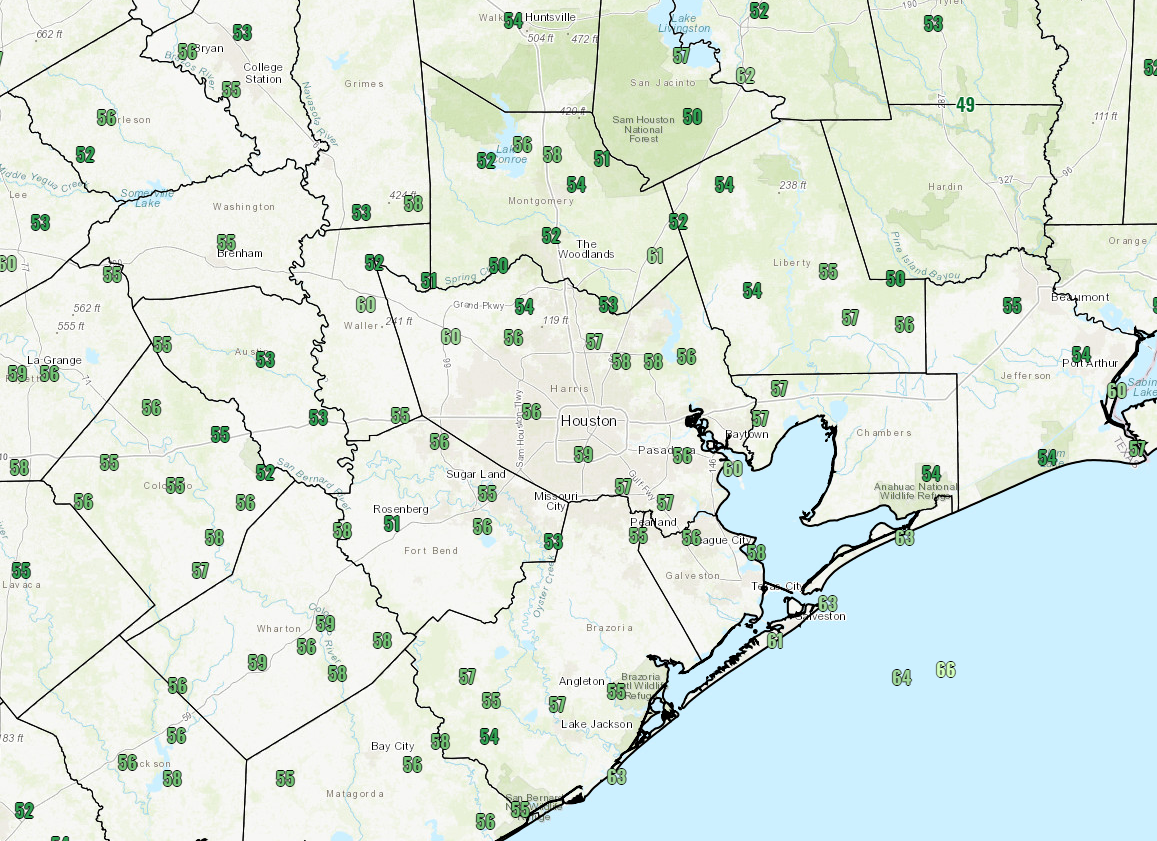
It’s warmer this morning than it’s been in Houston for awhile, with lows generally having fallen only into the mid-60s. That’s because in addition to a warm flow moving in from the Gulf of Mexico, some overnight clouds helped keep some of the heat close to the surface. But those clouds should mostly go away later today and allow highs to climb to around 85 degrees (and about five degrees lower along the coast). Lows tonight will be in the mid-60s.

Tuesday and Thursday

Similar weather should continue through most of the work week—lots of sun, highs in the mid-80s, lows in the mid-60s. This is warm for mid-March, but won’t be record-setting for the area expect for perhaps the coast, where Galveston’s record highs for this time of year are around 80 degrees.

(Space City Weather is sponsored by an anonymous donor this month.)

See full post

Worry-free weekend for Houston

Happy St. Patrick’s Day! So the Houston area survived yesterday’s handful of light showers without much trouble. The good news is that we’re on the way to having a weekend without having to worry much at all about any weather.

Today and Weekend

We’ll start with clouds again this morning and partially clear them out through the day. Overall, it should be nice, with temperatures warming into the upper 70s. Yes,a sprinkle or a brief shower could pop up, but it won’t be anything serious. It will be a bit breezy, especially south of Houston. Breaks in the clouds will try to thicken back up tonight. In addition, we could also be talking about a little patchy fog in spots. Saturday will be like Friday with low morning clouds giving way to sunny periods. It’s entirely possible that a brief shower or small storm pops up Saturday, but I’d bet heavily against seeing raindrops in most spots.

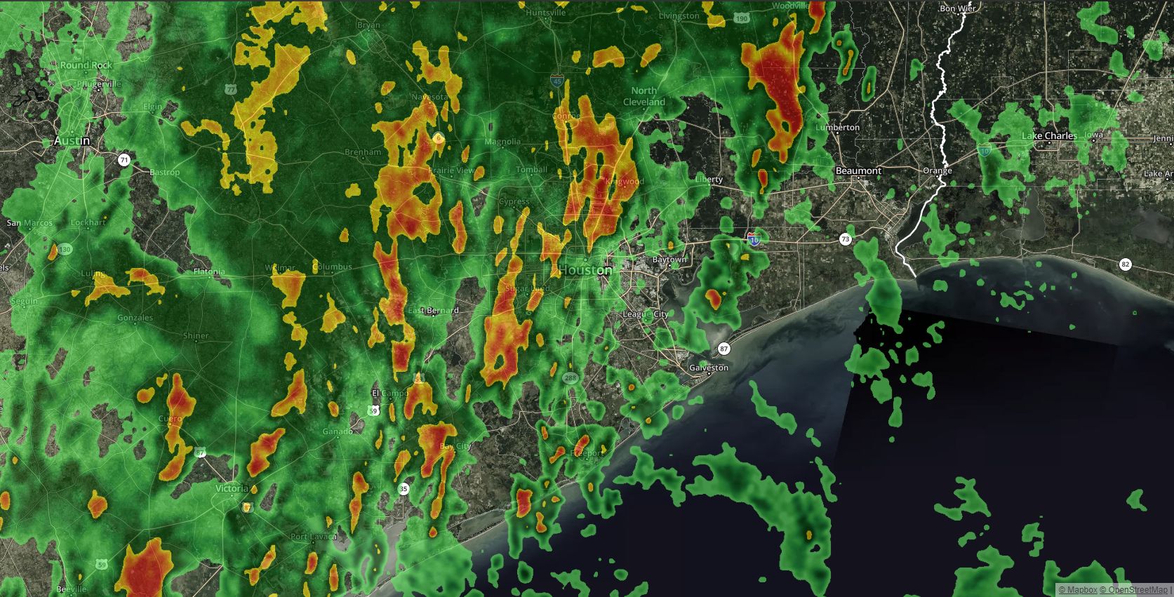
Models aren’t exactly bullish on rain chances Saturday, but we have to at least mention it. This particular image is a model interpretation of what could be happening around 3 PM Saturday. (Texas Tech)


Heading into Sunday, we’ll continue onshore flow, but I think any morning low clouds and fog will clear out a little more aggressively during the afternoon. Expect temperatures to hit around 80 or the low 80s on Saturday and low to maybe mid 80s on Sunday.

(Space City Weather is sponsored by an anonymous donor this month.)

See full post

At least mentioning showers in Houston today

We’ve had some beautiful weather this spring break week. But as we head to the back half, we will have a few minor showers to discuss today.

Today

Our beautiful weather ends today, though it certainly shouldn’t be too terrible. We’ll start with clouds this morning, and as the day goes on, we should see breaks of sun here and there. I wouldn’t be floored to see us actually have a good bit of sun for awhile at some point. For the most part though, today will be mostly cloudy. Though the majority of us will be dry for the majority of the day, we will see showers develop. Expect narrow bands of weak showers to stream in off the Gulf across the Houston area this afternoon. One or two showers could be steady for a bit, but with a good onshore flow, I expect any rain will be mostly brief and move on by fairly quickly.

This model tends to over-predict showers a bit, and it’s not even all that bad for today. Don’t be shocked to see a few raindrops, but no serious problems today. (Weather Bell)


Temperatures will slowly warm up with the clouds. Expect to see us hit the low 70s this afternoon.

(Space City Weather is sponsored by an anonymous donor this month.)

See full post

A gradual warm-up for Houston on the way

It’s been a really, really nice start to the week if you like cool and pleasant weather. As we head toward the weekend, we’ll begin to warm things back up, as the weather pattern reverts to more typical spring for Southeast Texas. But for now, the rain chances won’t really follow.

Today

It’s another cool start to the day across the region. We’ve got mostly 40s and some 50s around this morning. We’ll warm things up again this afternoon into the upper 60s or low 70s. We’ll keep it mostly sunny, but I think you’ll notice at least a few higher clouds from time to time today. Wednesday is a bit of a transition day back to onshore flow and typical spring weather.

Tomorrow and Friday

You’ll notice that onshore flow more both visually and by feel on Thursday I think. Some low clouds should build up in spots overnight, especially closer to the coast as humidity begins to tick upward. Thursday morning won’t start nearly as cool as today and will likely be six to ten degrees warmer in spots.

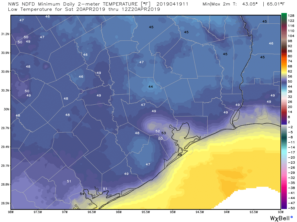
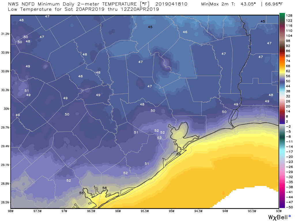
Thursday morning’s temperatures won’t be as chilly as they’ve been much of this week. (Weather Bell)

Thursday afternoon may look a bit murky. Expect clouds and sun, but it will be warm. High temperatures should reach the low to mid 70s. A stray sprinkle or shower is possible also. We’ll be even a bit milder Friday morning, with lows probably in the 60s in most spots. Friday afternoon will again see a good deal of clouds mixed in with some sunshine. There could also be a sprinkle or brief shower, but that would very much be the exception, not the rule. Temperatures will warm up further, reaching the upper 70s to near 80° Friday.

(Space City Weather is sponsored by an anonymous donor this month.)

See full post