Amazing spring weather this week, with a great weekend outlook

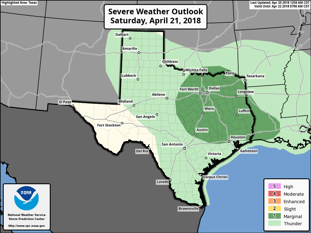
After an absolutely superb Sunday, Houston’s weather will remain more or less gorgeous for most of this week—giving us another healthy dose of spring with moderately warm days, and cooler nights, and ample sunshine. Below, we also take a look at weather for the IRONMAN and MS 150 events this weekend.

A beautiful spring morning across Texas on Monday morning. (Weather Bell)

Monday

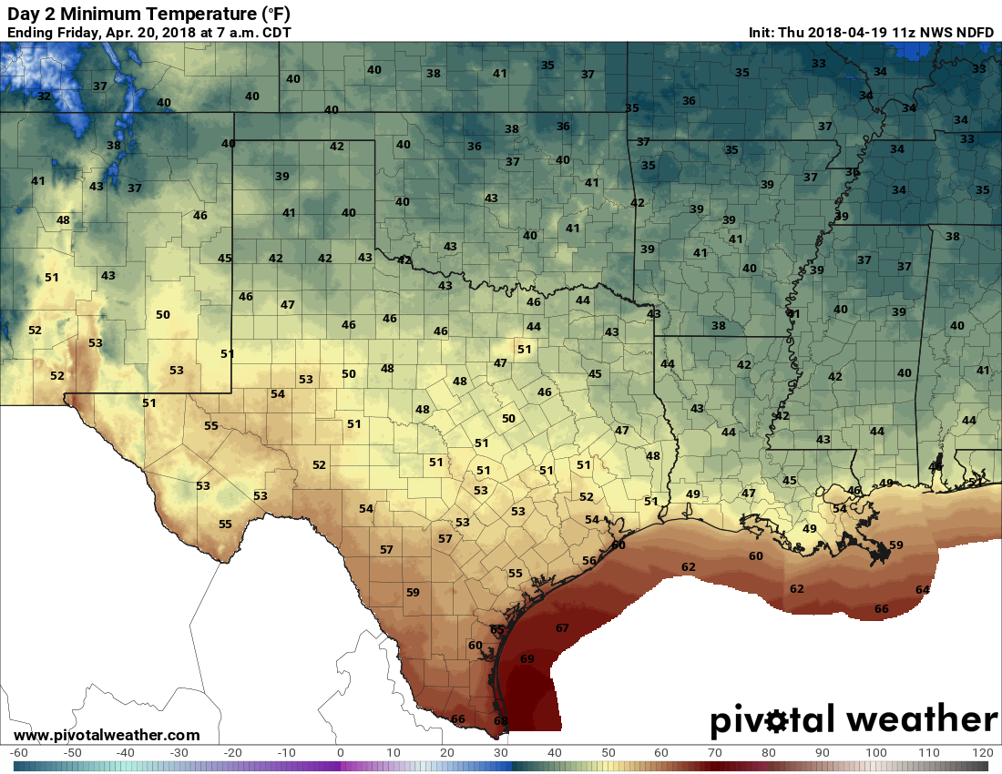
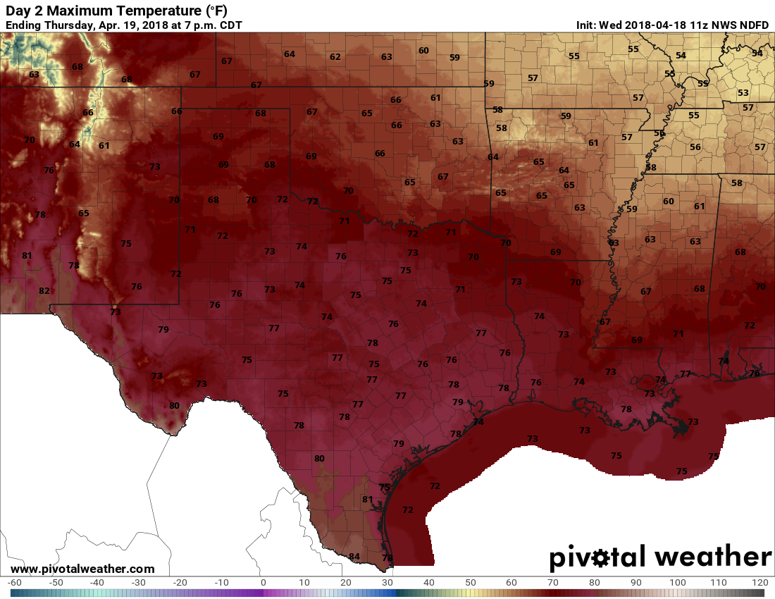
You probably couldn’t script a much better weather day for Houston than today—with a chilly start and a cool, dry northerly flow throughout the day. Highs will be in the upper 70s with sunny skies. Winds will be light. Temperatures will be cool tonight, falling to around 60 degrees in the city. This will easily be one of the 10 best weather days of 2018. Easily.

Tuesday and Wednesday

These days will be warmer, but not unpleasantly so, with high temperatures in the low 80s and mostly sunny skies. It appears as though a cool front will push through the region on Wednesday, and Wednesday night, and this could lead to some overnight showers. Not everyone will see rain, and for those that do, rainfall amounts will probably only be measured in a few tenths of an inch of rain. Right now I don’t anticipate a whole lot, if any, thunderstorms—so hopefully you won’t be woken up by any storms.

See full post

Showery Saturday, but sun by Sunday in Houston

We weren’t lying about this week having some stunning weather. Yesterday was about as close to perfect as you can script here in Houston. It’s certainly worth touting to our neighbors in the North, where winter has just not found a way to relent. Here, however, it’s been great. Through the first 19 days of April, we’re averaging 77.2° for a high and about 56.2° for a low. Compare that to the same period last April, when we averaged 81.4 for a high and 61.2° for a low. This month has been cooler and much more comfortable than April 2017. Can we keep the good times rolling? I think so, but it will get at least a little warmer as we go. First, let’s get through Saturday.

Today

We’re starting today with a good deal of clouds on the west side of the area, and more of a mixed sky on the east side. We’ll call today partly sunny, but it may be a case of more clouds than anything. With the clouds, temperatures are held down, and while we’ll call it lower 70s today, I wouldn’t be shocked to see a few places not get out of the middle to upper 60s if clouds hang in all day.

Tonight through Sunday

Clouds continue tonight. A warm front will approach our region from the south. As it does so, we’ll probably see at least a few showers break out or a bit of light rain and drizzle. The best chance for that to happen will be south and west of Houston. Low temperatures won’t go too far tonight and should bottom out in the lower 60s.

No change in the severe weather outlook for Saturday staying on the low end of things. (NOAA/SPC)

On Saturday, expect showers or light rain at times. It’s probably not a total washout, but Saturday’s not going to be a great day. Then, as a disturbance ahead of our next cold front approaches, we’ll see a chance of thunderstorms begin to increase later in the afternoon and evening.

See full post

Amazing weather ahead for Houston—except for Saturday

A weak cool front passed through Houston this morning, and it will bring a very pleasant end to the work week. We’re still looking at mixed conditions on Saturday, however, followed by a pretty nice second half to the weekend.

Thursday and Friday

The front will knock temperatures down by a few degrees, and will bring some drier air into the region. For Thursday, we can expect a cloudy start to the morning, with clearing skies during the afternoon hours. Friday should be partly to mostly sunny, too. Both days will see highs in the low- to mid-70s. Expect lows Thursday night to be in the 50s for most of Houston except for the coast, and Friday night to be a bit warmer.

Friday will start clear and cool for Houston. (Pivotal Weather)

Saturday

I’ve had a ton of questions about weather conditions on Saturday—it sounds like a lot of you are planning outdoor weddings this weekend. I’d love to have a concrete answer for you, but we’re in a situation where there are some ingredients for rain showers and storms, but it’s not clear whether they’re going to line up. For example, there will be some moisture to work with, but will it coincide with the best atmospheric lift? And when the front sweeps through, will the atmosphere be unstable enough for strong thunderstorms to form?

See full post

Lots of gorgeous spring weather ahead, but Saturday a damp squib

Houston’s weather will remain quiet, and mostly spring-like, until the arrival of a cold front this weekend brings a healthy chance of storms to the region. We’ll focus on that possibility in this forecast.

Wednesday

Highs today will be in the low 80s, with ample cloud cover as moisture streams into the region. Some (almost certainly very light) rain showers will be possible this afternoon, and during the overnight hours, as a cold front approaches Houston, and then pushes off the coast early on Thursday morning. Most areas probably won’t see rainfall, and those that do will only see slight accumulations.

Thursday

An exceptional day, with modest northerly winds, highs in the upper 70s, drier air, and sunny skies. Skip work, play hooky, plan an outdoor lunch—do whatever you need to do to spend this one soaking up springtime in Houston. Lows Thursday night will be in the 50s for inland areas, and lower 60s along the coast.

Thursday’s high temperatures look splendid. (Pivotal Weather)

Friday

Another very nice day, with highs in the mid-70s, and partly sunny skies.

See full post