Watching TS Nate, waiting on a cold front

Houston remains in a warm pattern that’s going to persist for a few more days before some kind of cold front is likely to drag through the area next week. We may also see some showers related to Tropical Storm Nate this weekend, but nothing we should be too concerned about.

Friday

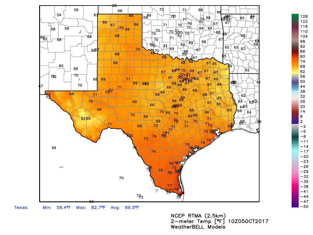
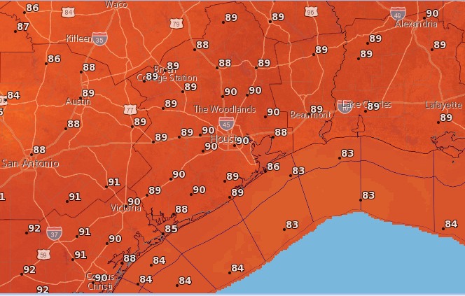
Mostly sunny and hot, with highs in the upper 80s. Not much to say about today, other than it’s going to be a typical, late-summer day for Houston.

Saturday & Nate

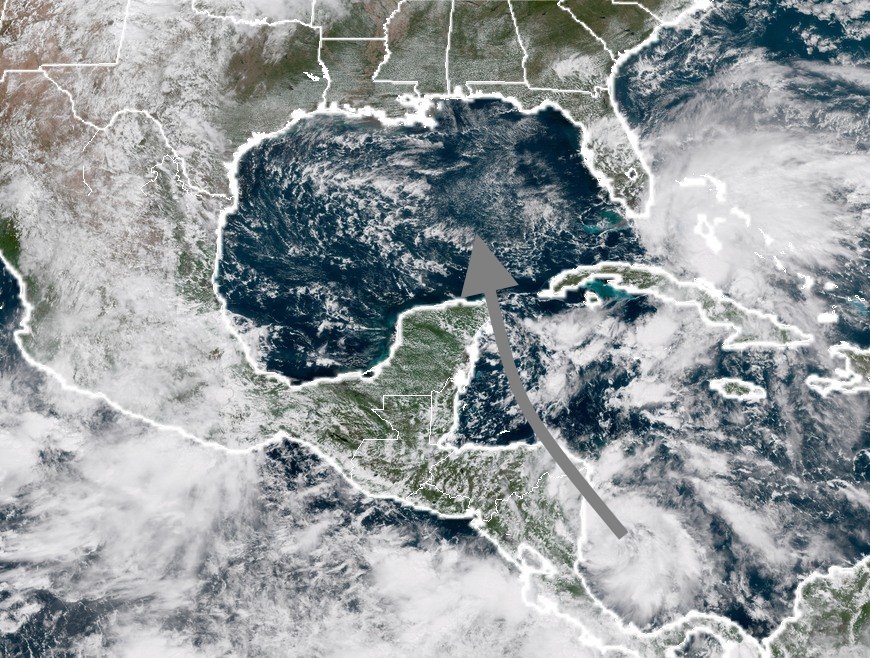
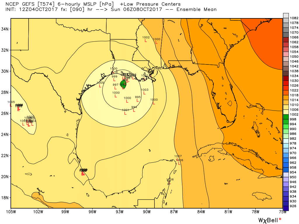
Tropical Storm Nate should emerge into the Gulf of Mexico early on Saturday morning and move north fairly rapidly, likely reaching the northern Gulf of Mexico coast by very early on Sunday morning. The high-confidence forecast track from the National Hurricane Center looks like this:

Three-day forecast for TS Nate. (National Hurricane Center)

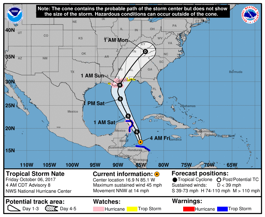
Along such a track, Houston may see some precipitation from the outer bands of the storm, but this is nothing we’re too concerned about. Likely, it won’t rain for most people, and accumulations seem unlikely to be more than 1 inch for those that do see rain—if that much. Nate should also keep tide levels higher than normal for the next day or two along the upper Texas coast.

See full post

Warmth continues for Houston as northern Gulf watches the tropics

It’s been hot in Houston. Wednesday’s high temperature reached 89 degrees, and the nights remain humid. This late summer-like pattern will remain for about five more days, before a cool front arrives next week, most likely on Tuesday. In this post we’ll also discuss Tropical Depression 16. (Update: This became Tropical Storm Nate in the 7am CT advisory from the National Hurricane Center).

Thursday and Friday

Warm, mostly sunny days linger under the influence of high pressure. We will continue to see high temperatures near 90 degrees, with overnight lows around 70.

Thursday: It’s another warm morning across the entire state of Texas. (Weather Bell)

Saturday, Sunday, and Monday

For the most part, we can expect mostly sunny days, with continued warm weather. However, as the tropical depression—likely Nate by then—moves into the Gulf of Mexico we may see some moisture associated with the storm that produces some rain showers over Houston. I’d bet on hot and sunny, but we’re going to leave open the slight possibility of some rain for now, and issue a forecast with more confidence tomorrow. (Either way, we’re not expecting significant, flooding rainfall).

See full post

A hurricane may move into the Gulf this weekend

This morning we touched upon the likelihood of a tropical system coming into the Gulf of Mexico this weekend, and now that the National Hurricane Center has declared this a tropical depression there has been heightened focus on the system. As the depression is currently under low wind shear and over warm water (nearly 85 degrees), we can expect this to become Tropical Storm Nate soon. Before we discuss the track and intensity forecast for this storm, I want to be clear that at this time we really do not view this system as a significant threat to Texas.

Likely track of the tropical system between Wednesday afternoon and Saturday. (NOAA/Space City Weather)

Track

The system will interact with Nicaragua over the next 24 hours as it moves north, and perhaps Honduras and Belize, bringing significant rains to those locations. There is general agreement that it will get pulled into the Gulf of Mexico by Friday night or Saturday morning, perhaps passing over northeastern tip of the Yucatan Peninsula, or moving through the straits between the Yucatan and Cuba.

After that time there’s some uncertainty. The GFS model (12z run) wants to keep the system on a north-northwest track, and bring it into Louisiana (or possibly even eastern Texas). Here’s a map showing the ensemble forecast for the “center” of the tropical system on Sunday morning:

12z GFS model forecast for the tropical system. (Weather Bell)

You might look at this and be somewhat alarmed, given the proximity to Texas. However the GFS doesn’t seem to be handling the overall pattern very well, and you would think that if this storm followed such a track it would become quite a bit stronger than what is shown here. Therefore, I would discount the GFS model at this time.

See full post

On the Gulf tropical system, and a cold front next week

After a stormy Tuesday, the rains should be over for now, as high pressure builds over Houston and somewhat drier air works its way into the region. For us, the next two big events to watch for are a tropical system in the Gulf of Mexico, and a much-anticipated cold front next week. Let’s discuss.

Wednesday through Friday

Building high pressure should lead to mostly sunny skies—look for highs in the upper 80s—along with warm nights with lows around 70 degrees. Aside from the late-summer like feel to the weather, we should have no concerns.

Saturday and Sunday

For now, the weekend simply looks pretty hot, with partly to mostly sunny skies and highs near 90 degrees. Lows should only fall to around 70 degrees. The good news is that after this weekend I’d say there’s only about a 50 percent chance of seeing another 90-degree day this year, so the end of summer really is nigh.

Saturday’s high temperatures could be one of the year’s last 90-degree days. (National Weather Service)

The caveat to this weekend’s forecast is the tropical system likely to form in the Gulf of Mexico, which could bring us some increased moisture and rain chances by Sunday—although for now I’d bet against that.

See full post