Sunday was our coolest day since February 16th. Yesterday was just a little bit milder. Today? Quiet, similar, and not bad at all.
Today and Wednesday
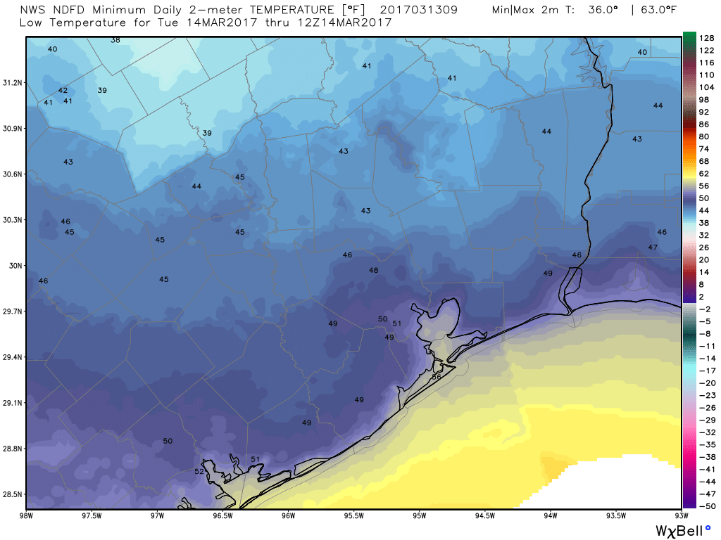
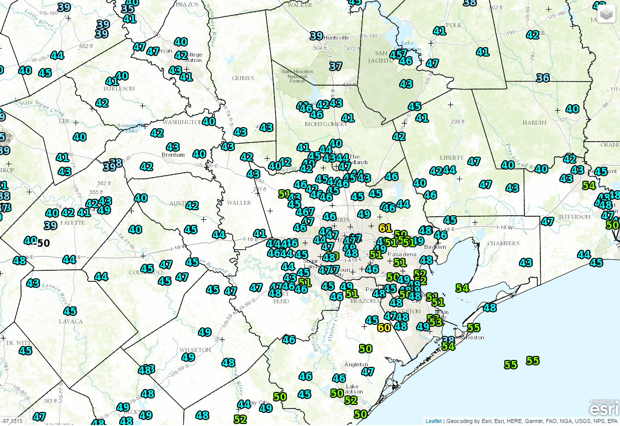
No weather woes the next couple days. We’re starting off quite a bit chilly this morning, with 40s across much of the area and even some 30s north of Conroe.
As the day goes on, expect plenty of sunshine and temperatures cresting in the mid or perhaps upper 60s. We’ll have another cool night tonight, but expect Wednesday morning to start about two to four degrees warmer than today. Wednesday looks like another nice day on the whole. We’ll have just a few more clouds than today, but temperatures should try to crack 70 degrees.
(Space City Weather is sponsored by an anonymous donor this month.)