And so it well and truly now begins … summer

Did you miss the heat?

Houston has had a long, slow slide into summer this year, only reaching the 90s this week, and with wet soils helping to keep a lid on temperatures. That all changes. Now.

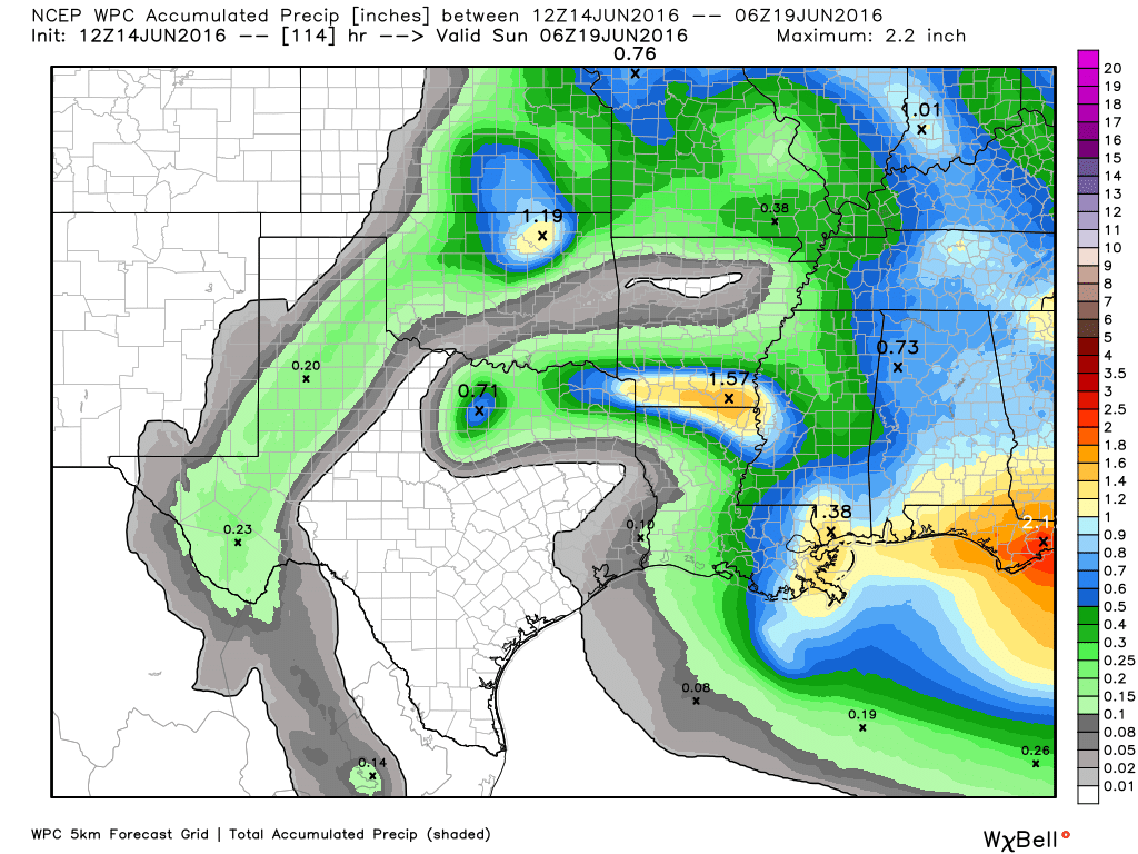
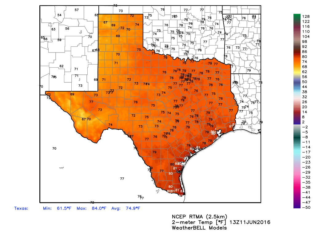
High pressure will begin building over the region today, and while we can’t entirely rule out a few isolated thunderstorms, I wouldn’t expect to see much rain over the metro area. Instead we’re going to see partly to mostly sunny skies and lots of heat. With highs likely climbing into the mid-90s today through Saturday, the National Weather Service has issued a special statement warning of elevated heat indices, from 100 to 107 degrees when factoring in humidity. Lows will only fall into the upper 70s to around 80 degrees. This is absolutely typical summertime weather in Houston.

Rain accumulation forecast for now through Saturday. (Weather Bell)

See full post

Houston just had its wettest 60-day period on record

It has been one hell of a spring storm season. Pretty much every part of the Houston region has flooded to one extent or another, with some rivers and bayous reaching historical flood levels. And now, courtesy of Brian Brettschneider, here’s another amazing data point about this spring’s rain—the period of April 14 through June 12 is the wettest 60 days in Houston’s recorded history. Any year, any time.

(Brian Brettschneider)

See full post

It’s stormy this afternoon, but the heavy rains won’t last

Much of Houston has experienced some heavy rain this afternoon, with storms producing rainfall rates of 1 to 2 inches per hour. These rains have scuttled outdoor activities and led to some street flooding downtown, however they are largely proving manageable for the area’s drainage systems. The main hazard is lightning, so please do not venture outdoors unprotected during intense lightning events.

The Houston radar was quite active at 3:45pm CT on Sunday. (Intellicast)


It seems most likely that these storms will wane this evening by or shortly after sunset, with the loss of daytime heating. Forecast models show another complex of storms developing over north Texas tonight, but it appears as though these will weaken as they approach the Houston metro area early Monday.

Later on Monday we may see some scattered thunderstorm development, but nothing like today. And then, by Tuesday, we’re going to be into a summer-like pattern where high pressure clamps down on rain chances, and increases highs into the mid-90s.

Posted at 3:45pm CT on Sunday by Eric Berger

Afternoon rain chances continue, but high pressure looms

Happy Saturday, everyone. It looks as though we’re going to remain in a summer-like pattern this weekend.

It's already a warm morning across Texas as of 8am CT. (Weather Bell)
It’s already a warm morning across Texas as of 8am CT. (Weather Bell)


Early this morning saw some scattered showers and thunderstorms develop near the coast and move inland, primarily to the east of Houston. They’re now burning themselves out near Wallisville and Liberty. After this we should see a break during the rest of the morning. However with temperatures likely rising into the upper 80s to 90 degrees this afternoon I expect the seabreeze to generate some showers again today like Friday. I expect these storms to be somewhat scattered, but like on Friday could be intense where they develop. The most likely time for storms to develop is probably from around 3pm CT to shortly before sunset.

We’ll probably see more of the same on Sunday and Monday, before high pressure builds over the middle of next week and probably shuts off rain chances for awhile. It’s possible we’ll be in the middle-90s by Wednesday or Thursday, and starting to remember what summer in Houston really feels like.