Ahh, you’ve got to love August in Houston. This is a month when a “cold” front actually means warmer weather, 100 degree days happen not too infrequently, and we face the threat of hurricanes. Today’s post will address all three of these issues, including a look back at this time, last year, to see what we were saying about the approach of Hurricane Harvey.
Tuesday
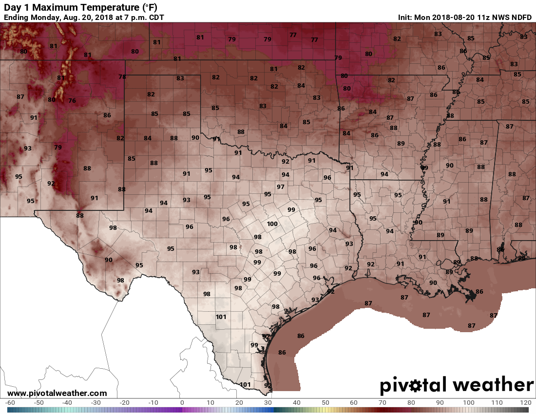
A dying cold front is north of the Houston area this morning, but should slog through the area today. The net effect of this should be to produce some scattered showers later today and this evening, and some of the embedded thunderstorms could produce briefly intense rains and winds. The chance of rain today is only about 40 percent, but that’s significantly higher than during the rest of the week. Despite the rain chances, for the most part, this should be just another hot and partly sunny August, with high temperatures in the upper 90s to 100 degrees.
Wednesday and Thursday
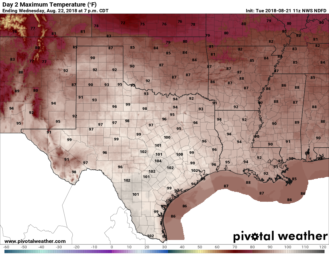
Some drier air will move in behind the “cold” front, and along with this some higher pressures will build over the region. In August, this means just one thing—some serious summer heat beneath sunny skies. We can expect high temperatures in the vicinity of 100 degrees, perhaps even up to 102 or 103 degrees. The drier air may knock a tad of the humidity out of the air, but it’s still going to be extremely warm out there during the daytime. Please do take precautions, especially for any children participating in outdoor sports practices after school.